AUX ARC, AR Campground Reservation, Info, Images, Map, Directions

AUX ARC, Arkansas Campground Images, Info & Reservations

Directions

From Ozark, Arkansas, take SR-23 south for 1.5 miles to SR-309. Turn left and follow signs to the park.

Phone

479-667-1100

Activities

BOATING, CAMPING, FISHING, HUNTING

Keywords

AUXA,OZARK LAKE – ARK.RIV.NAV.SYS,SOUTH PARK,OZARK LAKE – ARK R

Related Link(s)

Rec Area Info & Images

Arkansas State Road Conditions

Arkansas State Tourism

Overview

Aux Arc Campground sits on the shores of Ozark Lake in the picturesque Arkansas River Valley.

"Aux Arc" is a name that originated with French explorers when they mapped the territory. The term means "the big bend," describing the bend in the Arkansas River. Over time, the name was simplified to "Ozark," thus the name for Ozark Lake.

Recreation

Boating, hiking and picnicking are favorites with locals and visitors alike. Anglers find success with both boat and bank fishing, and popular fish species include catfish, bream, crappie and bass.

Public land surrounding the lake yields deer, quail, squirrels, rabbits, dove, wild turkey, ducks and geese for hunting season.

Facilities

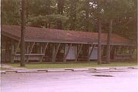
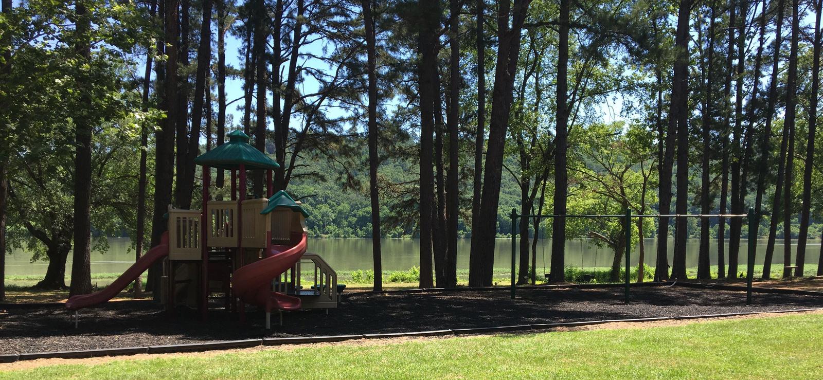
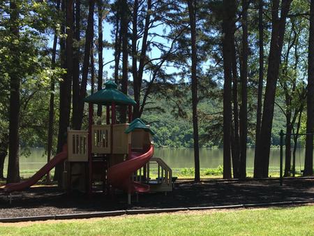
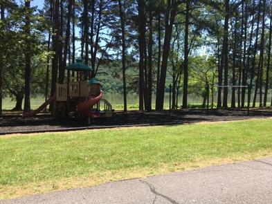
Aux Arc Campground offers spacious, shady campsites with electric and water hookups. Three picnic shelters, with electricity, can be reserved as well. Additional amenities include a dump station, two playgrounds, hot showers and a boat ramp.

Natural Features

Ozark Lake extends 36 miles along the Arkansas River. The shoreline of the lake varies from steep bluffs and tree-lined banks to open farm lands and level fields.

Nearby Attractions

Two of the largest wineries in the state are located in the nearby town of Altus. Here, large grape vineyards reminiscent of the European Rhineland dot the countryside.

Reservation

More from CampingHiking.net:

PONDEROSA COVE CAMPGROUND, California Campground Images, Info & Reservations

Directions From Placerville take Highway 49N a half-mile and turn right on Highway 193 to Georgetown. Take a right on Main Street in Georgetown and drive about 14 miles to the campground. Ponderosa Cove is north of the Stumpy Boat Ramp. Phone 831-245-6891 Activities CAMPING Keywords ponderosa group,ponderosa Related Link(s)

SPILLWAY (AZ), Arizona Campground Images, Info & Reservations

Directions From Payson, Arizona, take Highway 260 northeast toward Heber. Turn left (west) onto Forest Road 300 directly across from the Rim Visitor Information Station and follow for 5 miles. Turn right at Woods Canyon Lake Road. Spillway is on the right, another 0.75 miles further. Phone 928-535-9859 Activities BOATING,

INDIAN TREES CAMPGROUND, Montana Campground Images, Info & Reservations

Directions From Sula, travel 6 miles south on Highway 93, then 1 mile southwest on Forest Road 729. Road to campground is gravel, but the campground and parking spurs are paved. Phone 406-821-3913 Activities BIKING, HISTORIC & CULTURAL SITE, CAMPING, FISHING, HIKING, HUNTING, SWIMMING SITE Keywords INDT,BITTERROOT NF -FS Related

VERMILLION, California Campground Images, Info & Reservations

Directions From Clovis, take Highway 168 east to Shaver Lake. Continue through Shaver Lake to Huntington Lake. At the east end of Huntington Lake, turn right on the Kaiser Pass Road (at Eastwood Visitor Center). Travel 17 miles to the Edison Lake Road. Turn left toward Edison Lake and travel

ASPEN (UT), Utah Campground Images, Info & Reservations

Directions From Duchesne, Utah: Take Highway 87 north to the junction with Highway 35. Turn west on Highway 35 towards Tabiona and travel about 28 miles to the campground in the North Fork Drainage. From Highway 40, turn north on Highway 208 towards Tabiona, then proceed northwest through Hanna to

CHARBONNEAU PK, Washington Campground Images, Info & Reservations

Directions From Pasco, Washington, take Highway 12 east. After crossing the Snake River Bridge, take the first exit and proceed to Highway 124. Continue east through Burbank, Washington. Turn north on Sun Harbor Drive and follow for 1.5 miles, then take a left on Charbonneau Road. Campground is on the