
Directions
From Mountain Home, AR, travel north on State Route 5 for 24 miles to US 160. Follow 160 west for 42 miles to Kissee Mills, MO to junction of State Route O; go left on State Route O. Follow signs to the park.
Phone
417-546-3708
Activities
BOATING, CAMPING
Keywords
BEC3,BULL SHOALS LAKE,BULL SHOALS LAKE
Related Link(s)
Missouri State Road Conditions
Overview
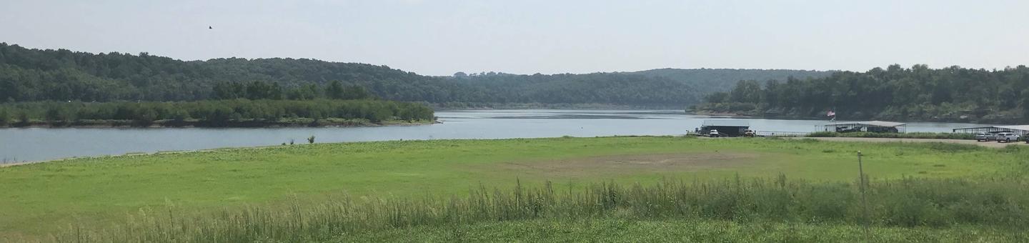
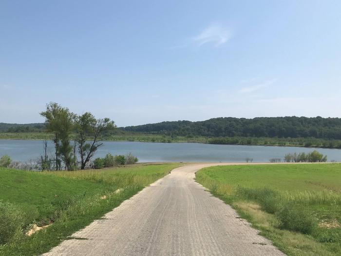
Escape from the hustle and bustle of city-life at Beaver Creek, a small, quiet campground tucked between a forested area and the lower shores of Bull Shoals Lake. The lake, in the beautiful Ozark Mountains, attracts visitors year-round as each season unfolds a new panorama.
Recreation
Hiking, birding, all types of water sports, and in-season hunting are featured attractions.
Spring and fall are the best seasons for fishing, but spotted bass, crappie and similar fish can be sought throughout the year.
Facilities
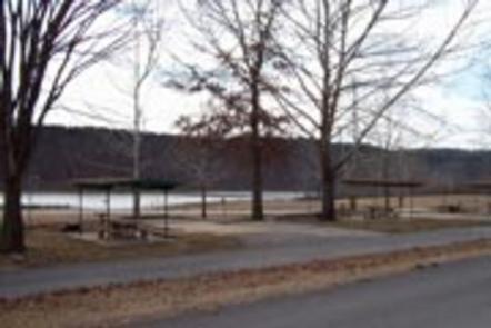
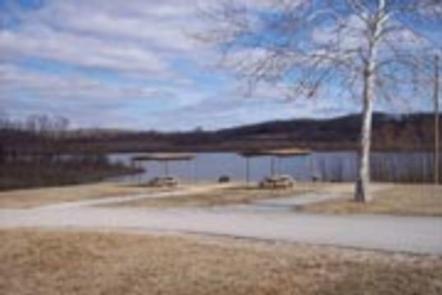
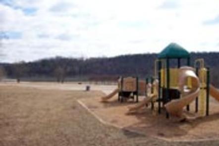
Beaver Creek hosts 33 campsites with electrical hookups and hot showers. A group shelter, playground and marina are also on-site.
Natural Features
The campground is in south-central Missouri along the Beaver Creek arm of Bull Shoals Lake. Sturdy, green hardwoods and cedar glades encompass the rocky bluffs and unique rock formations of the mountains.
Nearby Attractions
Visit the Jones Point State Wildlife Management Area for promising wildlife spotting and birding.
The lively tourist town of Branson is just 30 minutes away. Here, visitors can shop, dine and find live music.