CADIZ, KY Campground Reservation, Info, Images, Map, Directions

CADIZ, Kentucky Campground Images, Info & Reservations

Directions

From Nashville, Tennessee,or St. Louis take I-24 to the Cadiz, Exit 65, travel west on St. HWY 68/80 6 miles. Turn right onto KY 139 for 1.5 miles. turn left on Jefferson St

Phone

270-362-4236

Activities

BOATING, FISHING, PICNICKING, DAY USE AREA

Keywords

CADI,LAKE BARKLEY,BARKLEY LOCK & DAM

Related Link(s)

Rec Area Info & Images

Kentucky State Road Conditions

Kentucky State Tourism

Overview

Cadiz Park is located on the beautiful Lake Barkley near the town of Cadiz, Kentucky. The day-use area is a great spot for barbecuing, boating and fishing.

Fun fact: the largest yellow bass caught in Kentucky, weighing in at one pound one ounce, was caught in Lake Barkley.

Recreation

Visitors enjoy boating, fishing, and swimming among many other activities. Bring the family and some food and enjoy a fun-filled day in sun at Cadiz.

Facilities

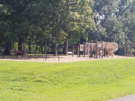
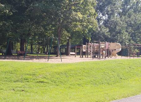
The picnic shelter is ideal for groups of up to 100 guests. Amenities include a boat ramp, playground, paved parking and grills. Shopping, grocery stores, and gas stations are conveniently close.

Natural Features

Lake Barkley covers 57,900 acres with 1,004 miles of shoreline. Summer water temperatures are a comfortable but refreshing 70 to 80 degrees Fahrenheit.

Nearby Attractions

Visit the Lake Barkley State Resort Park for miles of hiking trails and horseback riding stables.

Reservation

More from CampingHiking.net:

APPLETON COVE CABIN, Alaska Campground Images, Info & Reservations

Directions Accessible from Sitka year round, weather permitting. 30 air miles or 50 boat miles north of Sitka on Baranof Island just south of Peril Strait on the southeast shore of Appleton Cove. Access from Sitka, 25 minutes by float plane or 2 hours by boat. Occasionally winter temperatures can

IVES RUN, Pennsylvania Campground Images, Info & Reservations

Directions The campground is located 4 miles south of Tioga and 12 miles north of Wellsboro, Pennsylvania, on State Route 287, within the Ives Run Recreation Area. Phone 570-835-5281 Activities BOATING, CAMPING, FISHING, HIKING, HUNTING, VISITOR CENTER, DAY USE AREA, SWIMMING SITE Keywords IVES,TIOGA-HAMMOND LAKES,TIOGA-HAMMOND LAKE Related Link(s) Rec Area

DEWAYNE HAYES, Mississippi Campground Images, Info & Reservations

Directions From Columbus, Mississippi, take U.S. Highway 45 north to the junction with U.S. Highway 373/50 west. Turn left and continue for 1.5 miles to the junction with Stinson Creek Road. Travel 2 miles to Barton’s Ferry Road and turn left. Proceed a half mile to the park entrance. Phone

KIOWA PARK I, Oklahoma Campground Images, Info & Reservations

Directions From Waurika, Oklahoma, take Highway 5 northwest for 8 miles. Turn right onto County Road 2750 N and proceed three miles to the park entrance. Phone 580-963-9031 Activities BOATING, CAMPING, FISHING, HUNTING, SWIMMING SITE Keywords KIOW,WAURIKA LAKE,WAURIKA LAKE Related Link(s) Rec Area Info & Images Oklahoma State Tourism Oklahoma

JUNIPER SPRINGS REC AREA, Florida Campground Images, Info & Reservations

Directions From I-75, take Highway 40 east through Ocala and Silver Springs for approximately 36 miles to the Juniper Springs Recreation Area. From I-95, take the Ocala/Silver Springs Exit (Highway 40) west for approximately 37 miles to the Juniper Springs Recreation Area. From the intersection of Highway 40 and Highway