
Directions
From I-35 in Hillsboro, take HWY 22 west, continue 12 miles to Whitney. At Whitney, take HWY 933 north for 3 miles, turn left on FM 1713 and cross the bridge, over the lake. Cedron is the first road on the left. Follow signs into the campground.
Phone
254-622-3332
Activities
BOATING, CAMPING, FISHING, SWIMMING SITE
Keywords
CETX,WHITNEY LAKE,LAKE WHITNEY,WHITNEY LAKE
Related Link(s)
Overview
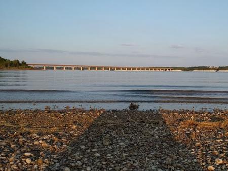
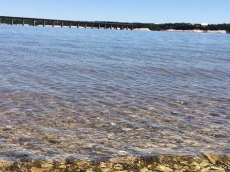
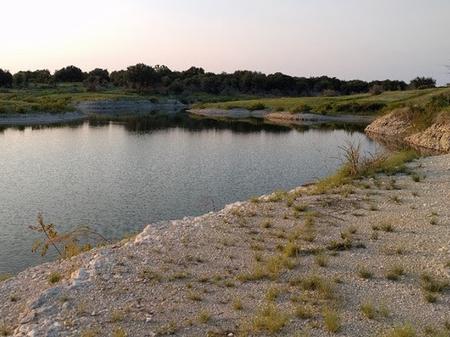
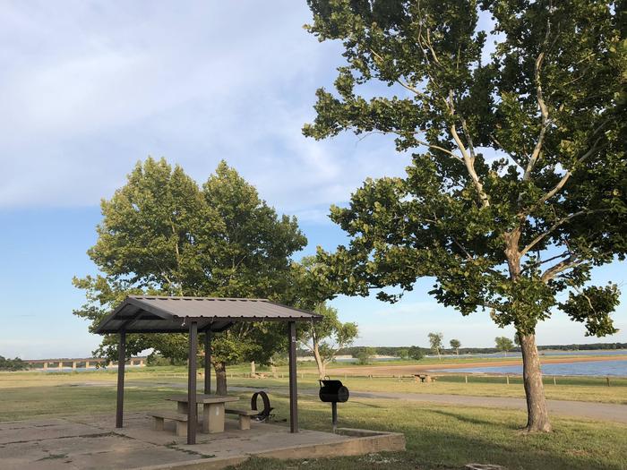
Cedron Creek Campground is located on Whitney Lake on the main channel of the Brazos River in Central Texas. The majority of campsites in Cedron Creek are 30 amp electric hook ups with water and 10 sites have water and 50 amp electric hook ups. Each site has a stand up BBQ cooker or a ground cooker/fire ring. The park also has 3 restrooms, showers, horseshoe pits, a trailer dump station, boat ramp and a playground.
Recreation
Boating, fishing, swimming, canoeing and kayaking are popular activities at Whitney Lake. Anglers can fish for a variety of bass, crappie and catfish.
Facilities
The campground offers 57 sites which all have either 30 or 50 amp electric and water. There is a group camp area located near the water and is within 100 yards of a large restroom with showers. The pavilion has a capacity of approximately 100 people and contains eight (8), eight foot tables, electricity, lights, a large (3′ X 3′) grill and eight campsites.
Natural Features
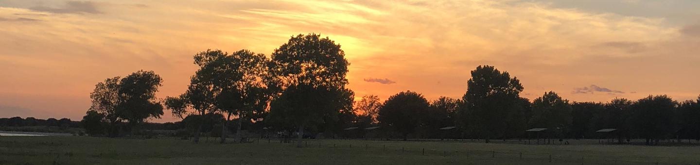
Cedron Creek is situated on the lakeshore among rolling hills covered with cedar, live and post oak.
Nearby Attractions
The 12.5 mile Hopewell Trail is nearby. It allows hiking, mountain biking, and horseback riding. Visitors can choose to travel north on the trail to Kimball Bend Park, or south to Lakeside Village and Powelldale Mountain.