CLARKS HILL, SC Campground Reservation, Info, Images, Map, Directions

CLARKS HILL, South Carolina Campground Images, Info & Reservations

Directions

Located off US 221, approximately 1 mile west of Clarks Hill, SC.

Phone

800-533-3478

Activities

BOATING, FISHING, PICNICKING, DAY USE AREA, SWIMMING SITE, SWIMMING, WATER ACCESS

Keywords

CLAH,J STROM THURMOND LAKE

Related Link(s)

Rec Area Info & Images

South Carolina State Road Conditions

South Carolina State Tourism

Overview

Clarks Hill is a popular park on J. Strom Thurmond Lake, just off Georgia State Highway 221 near the dam. The 70,000 acre lake and its 1,000+ miles of shoreline provide excellent boating, water skiing, swimming, fishing, hiking and picnicking opportunities.

Recreation

Thurmond Lake provides some of the best fishing, hunting, and water sports in the southeastern United States. Anglers fish for largemouth bass, bream, crappie, catfish and striped bass. The large lake offers endless boating, water skiing, jet skiing, canoeing and swimming opportunities.

Hikers have access to many miles of trails in the area. The 1.8-mile Lake Springs Loop and the 27-mile Bartram Trail, which meanders along the scenic shoreline and through Wildwood Park, are nearby. Shorter sections can be hiked from several intersecting trailheads.

Facilities

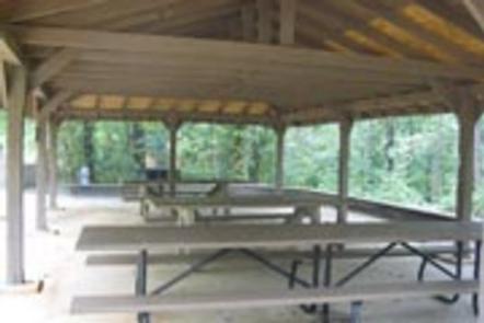
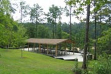
Clarks Hill is a wooded day-use area with several picnic shelters, some with electrical hookups. The shelters can accommodate groups as small as 6 and as large as 48. Amenities include flush and vault toilets, drinking water, a beach, boat ramp and dock.

Natural Features

Hot, humid summers and mild, pleasant winters characterize this heavily wooded area on the shore of Thurmond Lake. A mixed pine and hardwood forest covers the site, providing summer shade and fall color. Elevation is 345′ above sea level.

Wildlife is abundant around the lake. Visitors regularly see southern bald eagles, migratory waterfowl, wild turkeys and whitetail deer.

Nearby Attractions

Numerous parks and recreation areas lie around Thurmond Lake, providing additional boating, swimming, hunting, and hiking opportunities. Nearby cities house museums, art galleries, zoos, restaurants, and shopping areas.

The Augusta National Golf Club hosts the Masters Golf Tournament annually the first week of April.

Reservation

More from CampingHiking.net:

PALISADES RANGER RESIDENCE CABIN, Arizona Campground Images, Info & Reservations

Directions Driving Directions: From northeast Tucson, take East Tanque Verde Road to East Catalina Highway. Turn left (north) on East Catalina Highway, which becomes the General Hitchcock Highway, for approximately 23 miles to Organization Ridge Road and turn left (just before Palisades Visitor Center). The cabin is located approximately 100

MOUNT PRINCETON, Colorado Campground Images, Info & Reservations

Directions From Buena Vista, Colorado, take Highway 285 south to Nathrop. Turn west on County Road 162 and travel 7 miles to the campground. Phone CAMPGROUNDS DO NOT HAVE PHONE SERVICE, CALLING TO CHECK AVAILABILITY PRIOR TO ARRIVAL IS NOT POSSIBLE. FOR RESERVATIONS CALL: 1-877-444-6777 Activities HISTORIC & CULTURAL SITE,

IRON SPRINGS GROUP ASHLEY, Utah Campground Images, Info & Reservations

Directions From Vernal, Utah: Travel north on U.S. Highway 191 for 20 miles. Turn northwest onto Forest Road 018/Red Cloud Loop and travel approximately 5 miles to the campground. Phone 435-789-1181 Activities BIKING, CAMPING, HIKING Keywords IROG,ASHLEY NF – FS Related Link(s) Rec Area Info & Images Utah State Tourism

MCGREGOR LAKE CAMPGROUND, Montana Campground Images, Info & Reservations

Directions From Libby, MT, take US Route 2 east 53 miles to campground sign. Turn right at sign and go 0.2 miles to campground. An alternate route is to take US Route 2 west from Kalispell, MT, for 32 miles to campground entrance. Phone 406-293-7773 Activities BOATING, CAMPING, FISHING, HIKING,

SANDY BEACH CAMP, Iowa Campground Images, Info & Reservations

Directions From Interstate 380 (Shueyville, Iowa) take Exit 10 towards Shueyville. Travel east on 120th St. NW for 1.2 miles. At the stop sign, turn right onto NE Curtis Bridge Rd. Travel south on NE Curtis Bridge Rd for 1.1 miles. Turn left onto Sandy Beach Rd. NE and travel

COCHITI AREA, New Mexico Campground Images, Info & Reservations

Directions From Albuquerque, New Mexico, take Interstate 25 north to exit 259. Turn west on State Route 22 and proceed through Pena Blanca to the park office and recreation area. Phone 505-465-2557 Activities BIKING, CAMPING, FISHING, HIKING, WILDLIFE VIEWING, DAY USE AREA, SWIMMING SITE, PADDLING Keywords COCA,COCHITI LAKE Related Link(s)