JEFFERSON RIDGE, AR Campground Reservation, Info, Images, Map, Directions

JEFFERSON RIDGE, Arkansas Campground Images, Info & Reservations

Directions

From Dierks, Arkansas, travel 5 miles west on US-70, then 5 miles north on Green Chapel Road. Follow signs into campground.

Phone

870-286-3214

Activities

BOATING, CAMPING, FISHING, HIKING, HUNTING, WILDLIFE VIEWING, SWIMMING SITE

Keywords

JEFR,DIERKS LAKE,DIERKS LAKE

Related Link(s)

Rec Area Info & Images

Arkansas State Tourism

Arkansas State Road Conditions

Overview

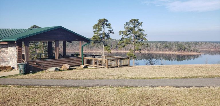
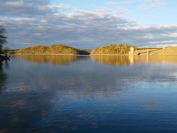
Jefferson Ridge Campground is located on Dierks Lake in southwestern Arkansas. Rugged ridges bordering the lake create stunning views, and visitors enjoy boating, fishing, swimming and hunting.

Recreation

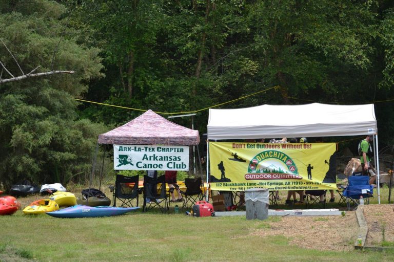
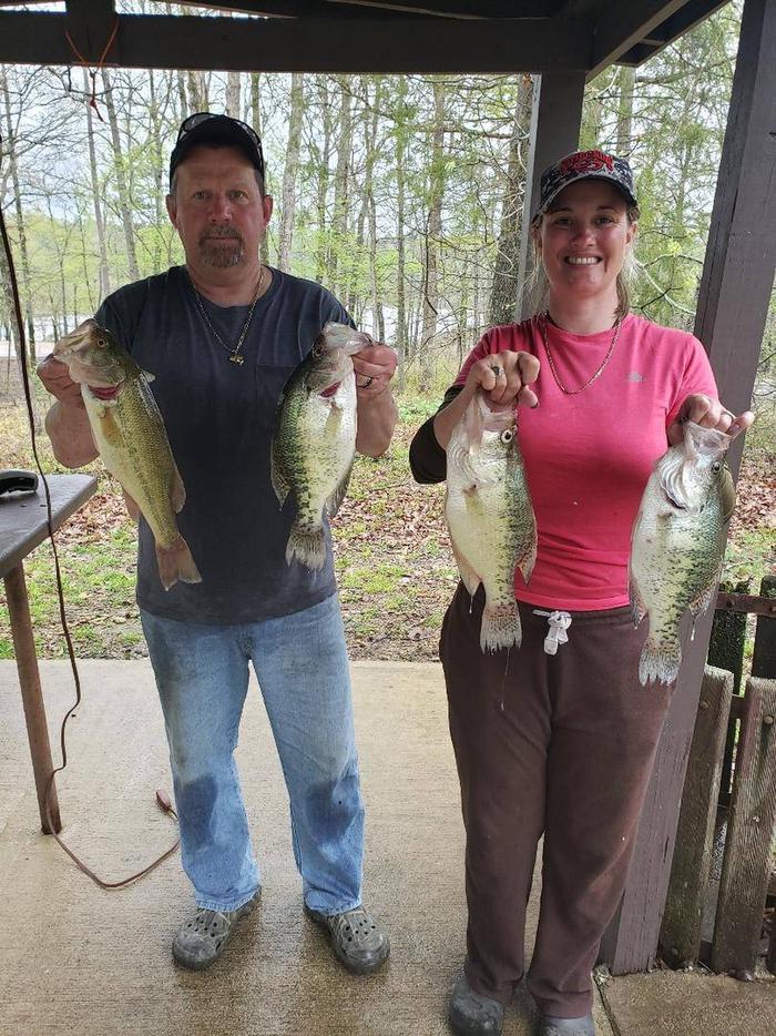
The 1360-acre lake offers excellent boating, canoeing, kayaking and swimming opportunities. Dierks Lake is known for its excellent bass and crappie fishing.

Hunters will find nearly 600 acres of public hunting lands in the upper reaches of the project. Game species include white-tailed deer, bobwhite quail, mourning dove, grey and fox squirrel, cottontail rabbit and a variety of waterfowl.

Facilities

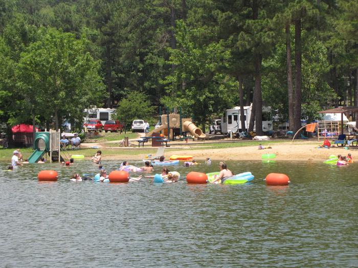
This year-round campground offers 85 family sites and two day-use group picnic shelters, all with electric and water hookups. Several sites located at the water’s edge. Amenities include flush toilets, showers, drinking water and two dump stations. A playground, two swimming beaches and two boat ramps provide additional recreation opportunities.

Natural Features

Dierks Lake is in the Ouachitas region of Arkansas and sits on the Saline River. The lake shore is forested with a mixture of hardwoods and pine.

Nearby Attractions

A day trip to Crater of Diamonds State Park in Murfreesboro, Arkansas, just 30 miles from the park, is a popular activity. The diamond mine is the only one of its kind in the country, where visitors get to keep any diamonds and semi-precious stones they unearth, regardless of value.

Reservation

More from CampingHiking.net:

MIDDLE RIDGE CABIN, Alaska Campground Images, Info & Reservations

Directions Middle Ridge Cabin is located on Wrangell Island, approximately 20 miles from Wrangell, Alaska. There are no roads to Wrangell. Access is by the Alaska Marine Highway or via Alaska Airlines. From Wrangell, head south on Zimovia Highway approximately 11 miles to Pat’s Creek Road (Road 6259) and take

SPRING CANYON, Washington Campground Images, Info & Reservations

Directions Take State Highway 2 west of Spokane for 65 miles to the town of Wilbur, Washington. Turn north on State Highway 174 (follow road signs). Travel 19 miles and turn right at the sign for Spring Canyon Campground. Phone 509-754-7889 Activities BIKING, BOATING, HISTORIC & CULTURAL SITE, CAMPING, INTERPRETIVE

BRUSHY CREEK DAY USE, Texas Campground Images, Info & Reservations

Directions From Jefferson, Texas, travel 3.8 miles northwest on Highway 49. Turn left onto FM 729 and continue for 3.5 miles, then turn left again onto FM 726. Travel 5.0 miles turn right at the stop sign and follow signs to the park entrance. Phone 903-777-3383 Activities BOATING, FISHING, WILDLIFE

OAK KNOLL CAMPGROUND, California Campground Images, Info & Reservations

Directions From Stockton California, take Highway 26 east for 30 miles. Turn right on Hogan Dam Road and continue for a mile, then follow signs to the campground. Park Headquarters: 2713 Hogan Dam Road Valley Springs, CA 95252 Oak Knoll Campground: 2321 South Petersburg Road Valley Springs, CA 95252 Phone

JENNINGS FERRY, Alabama Campground Images, Info & Reservations

Directions From Demopolis, Alabama, take Highway 43 north towards Eutaw. At Highway 14, take a right. Proceed for approximately seven miles to the park. Phone 205-372-1217 Activities CAMPING, FISHING, HIKING Keywords JENF,BLACK WARRIOR Related Link(s) Rec Area Info & Images Alabama State Tourism Alabama State Road Conditions Overview Jennings Ferry

KINGS CREEK, Utah Campground Images, Info & Reservations

Directions From Panguitch, Utah, travel 7 miles south on Hwy 89 to Scenic Hwy 12. Travel Hwy 12 for 11 miles to East Fork Road. Travel East Fork Road 7 miles to Tropic Reservoir and Kings Creek Campground. Turn immediately after the sign for the campground, and continue .5 miles