

Directions
From I-40, take exit 268 and merge onto US-96 west. Continue for 5 miles to the end of Center Hill Dam, then turn right on SR-141. Follow signs into campground.
Phone
615-548-8002
Activities
BOATING, CAMPING, FISHING, KAYAKING, CANOEING
Keywords
LONB,CENTER HILL LAKE,DAMSITE,CENTER HILL LAKE
Related Link(s)
Tennessee State Road Conditions
Overview
Long Branch Campground is located below Center Hill Dam on the scenic Caney Fork River in central Tennessee’s Highland Rim.
Above the dam, the lake stretches 64 miles up the river, where visitors come to enjoy boating, fishing and water sports. The 415 miles of forested shoreline provide excellent hiking, hunting and camping opportunities.
Recreation
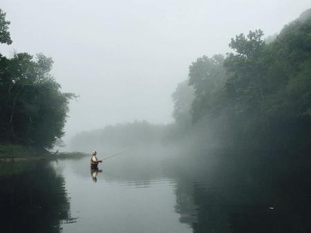
Fishermen come to Long Branch to experience trophy trout fishing on the river, which is stocked with rainbow and brown trout. Fly fishers and spin fishers alike enjoy this beautiful river and its abundant fish. Canoeing and kayaking on the Caney Fork River has become a favorite pastime for campers and sightseers alike. The Buffalo Valley Nature Trail is located just across the river from the campground. It provides access to the Caney Fork and is a very popular area for trout fishermen. The area has great wildlife viewing opportunities. Boating, water skiing and canoeing are popular activities above the dam on Center Hill Lake.
Facilities
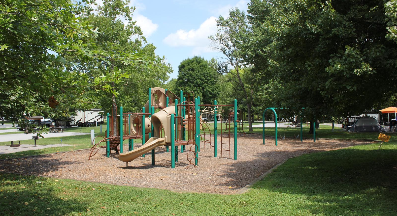
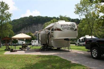
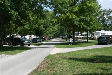
The campground offers 60 campsites with water and 50-amp electric hookups. A large, day-use group picnic shelter is also available, with water and electric hookup. Amenities like flush toilets, showers and drinking water are provided, creating a comfortable camping experience for guests. A boat ramp, fish cleaning station and playground are all conveniently located within the campground.
Natural Features
Long Branch is surrounded by the lush mixed hardwood forests of the hilly Highland Rim region. Whitetail deer, wild turkey, squirrels and rabbits roam the wooded hills in the area.
Nearby Attractions
The Center Hill Lake Resource Managers Office is located across the river next to the Buffalo Valley Recreation Area. Edgar Evins State Park sits on the lake shore about 5 minutes from Long Branch. An observation tower at the Visitor Center offers a spectacular view of Center Hill Lake and the surrounding hillsides.