Directions
From I-35, take the exit for Hwy 6 N toward Meridian (330B) for about 5 miles. Immediately before crossing the lake, exit right at Midway Park Exit. At the exit, drive under the bridge and the park is a quarter-mile down the east-bound service road.
Phone
254-756-5359
Activities
BOATING, CAMPING, FISHING, SWIMMING
Keywords
MIDW,WACO LAKE,LAKE WACO,WACO LAKE
Related Link(s)
Overview
Midway Park is ideal for families and friends to enjoy sightseeing and water activities, all while staying within the Waco city limits.
Recreation
The main lake shoreline has a large amount of submerged timber, which typically holds fish year-round. Anglers will find plenty of catfish, crappie, large and smallmouth bass as well as sunfish.
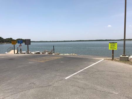
A boat ramp and dock help visitors enjoy the lake.
Facilities
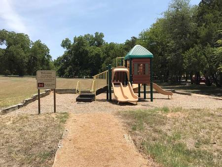
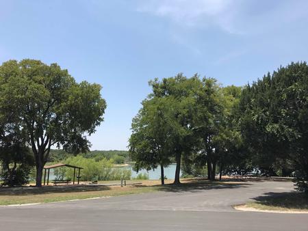
Midway Park campground has 37 campsites. There are 32 sites with water and electric hookups, and 11 that also have sewer hookups. The campground has 5 tents sites. Other perks include hot showers, an accessible playground and a boat ramp.
Natural Features
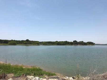
Midway Park is located on the southeast shore of Waco Lake. The lake boasts 79,000 acre feet of water, providing irrigation and drinking water to residents of the Waco area.
Nearby Attractions
Midway Park is located within the City of Waco and is 10 miles from Magnolia Market. About 15 min from Midway Park, Waco Lake Wetlands offers educational tours that take visitors through a six-acre nursery of aquatic plants and more than 130 species of birds. Cameron Park Zoo is also located nearby.
Charges & Cancellations
A $10.00 service fee will apply if you change or cancel your reservation. Late cancellations are subject to additional fees. For full details see NRRS Reservation Policy.


