

Directions
From I-85, take GA Exit 177, proceed south on GA Highway 77 for 5 miles. Follow directional signs last 10 miles to the campground. From Hartwell, GA, take Highway 51 north until you reach a four-way stop; turn left and follow directional signs to the campground. 518 Ramp Road Hartwell, GA 30643
Phone
888-893-0678
Activities
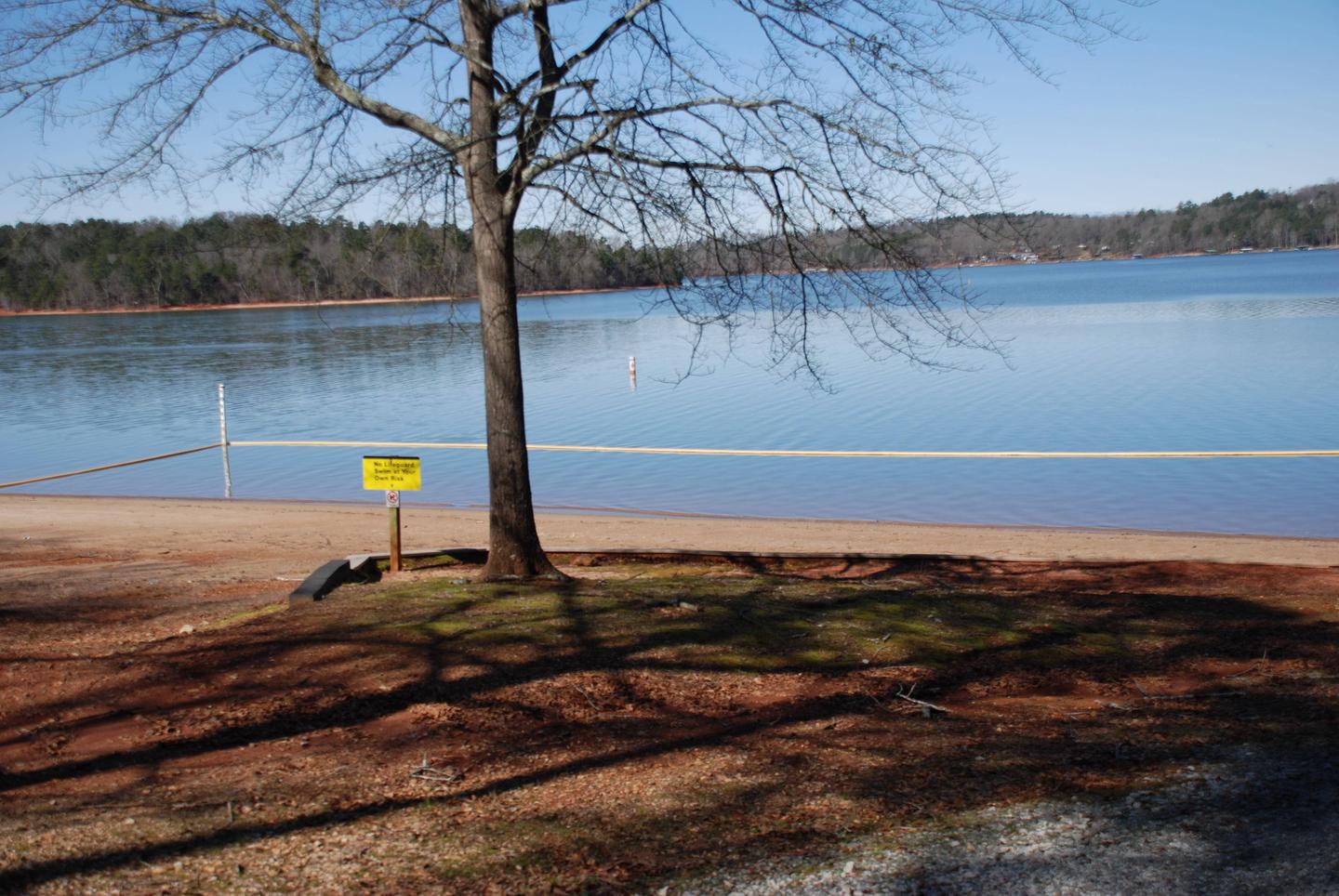
CAMPING, SWIMMING SITE
Keywords
PAYC,PAYNES CREEK Hartwell Lake,HARTWELL LAKE PROJECT
Related Link(s)
Overview
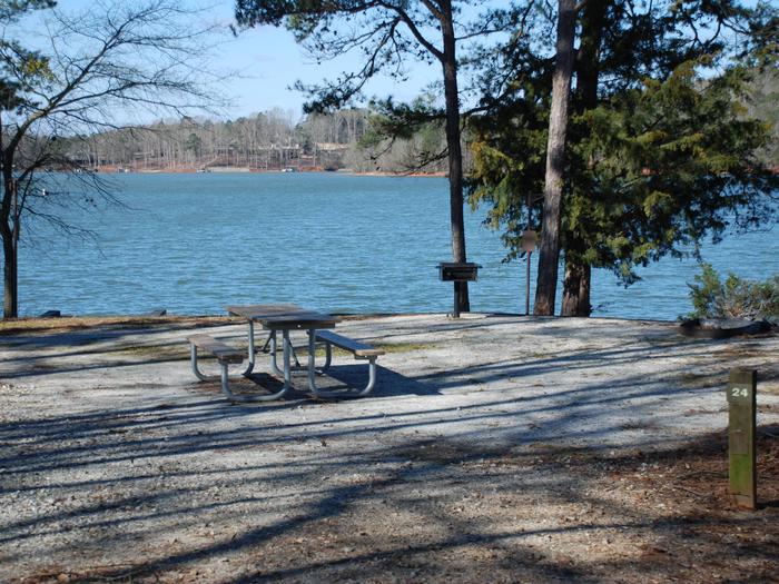
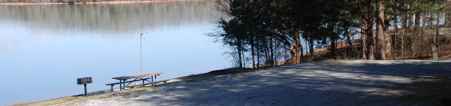
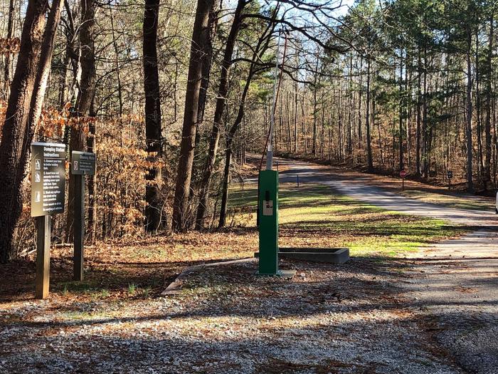
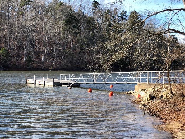
Paynes Creek is a steep to moderately sloping 399 acre site covered with mixed pines and hardwoods. The site presently offers campingand boat launching facilities as well as a multi-purpose trail. Existing facilities include1 gatehouse/entrance, 2 park attendant campsites, 44 public use camp sites with full water and electric hookups, 3 comfort stations (2 with showers), 1 dump station, 2 boat ramps (1 inside campground and 1 outside), 1 courtesy dock at ramp within campground, 3 playgrounds, 2 designated swim areas/beaches, 1 nine mile multi-purpose trail, and associated paved roads and parking areas throughout.
Recreation
Boating, fishing, swimming, water skiing and jet skiing are popular activities on Hartwell Lake. Visitors also enjoy exploring local hiking and biking trails.
Facilities
Existing facilities include1 gatehouse/entrance, 2 park attendant campsites, 44 public use camp sites with full water and electric hookups, 3 comfort stations (2 with showers), 1 dump station, 2 boat ramps (1 inside campground and 1 outside), 1 courtesy dock at ramp within campground, 3 playgrounds, 2 designated swim areas/beaches, 1 nine mile multi-purpose trail, and associated paved roads and parking areas throughout.
Natural Features
Hartwell Lake is a man-made lake bordering Georgia and South Carolina on the Savannah, Tugaloo and Seneca Rivers. The dam and lake area boasts 8 campgrounds and 11 day-use facilities that are operated by the US Army Corps of Engineers. The Hartwell Project was originally authorized for hydro-power, flood control, and navigation. Later, recreation, water quality, water supply and fish and wildlife management were added. Surrounding vegetation allows for plenty of shade, and the 962 miles of shoreline provide numerous swimming beaches, picnic areas and boat ramps.
Nearby Attractions
Charges & Cancellations
– Once your reservation has been created, there will be a $10.00 fee to cancel and a $10.00 fee to change your site or dates. – Cancellations made the day before, or up to the day after your arrival date will also be charged the first night use fee. – Reserved campsites will be held until check out time ( 2 p.m.) on the day following your scheduled arrival date. If you do not arrive at campground by 2 p.m. to fulfill your reservation, your reservation will be cancelled and you will be assessed a $20 service fee and forfeit the first night use fee. – If your reservation is for one night and you have been charged the first nights use fee, there is no $10 service fee. Refunds: – To insure fairness for all Recreation.gov customers, any reservation with departure dates outside the 6 or 12 month maximum window cannot be changed or cancelled until 18 days after the reservation is made. – Refunds must be requested no later than 14 days after scheduled departure date. Refunds may be requested through NNRS Customer Service at 888-448-1474. Refunds for bank card payments will be issued as a credit to the original bank card. Cash and check purchases will be refunded by check and may take up to 8 weekds for approval and processing.