PRAIRIE CREEK (AL), AL Campground Reservation, Info, Images, Map, Directions

PRAIRIE CREEK (AL), Alabama Campground Images, Info & Reservations

Directions

From Montgomery, Alabama, follow Highway 80 west for approximately 25 miles. Turn right on County Road 29 and follow the signs into the campground.

Phone

334-418-4919

Activities

BIKING, BOATING, CAMPING, FISHING, HIKING, WATER SPORTS, WILDLIFE VIEWING, SWIMMING SITE

Keywords

PRA1,JONES BLUFF,ALABAMA RIVERS,WOODRUFF,ROBERT F. HENRY,ROBERT F HENRY,ALABAMA RIV. – WO

Related Link(s)

Rec Area Info & Images

Alabama State Road Conditions

Alabama State Tourism

Overview

Prairie Creek Campground is situated beneath moss-draped oaks on the banks of Woodruff Lake. The lake is part of the scenic Alabama River in the region’s Black Prairie Belt.

For sportsmen, the campground offers a wonderful opportunity to relax between fishing and hunting trips. Water sports and hiking are also popular activities.

Recreation

Woodruff Lake offers excellent fishing for bass, crappie, bluegill and catfish.

Boating, jet skiing and other water sports are big draws to the lake, and a boat ramp is provided for easy water access.

The Lowndes Wildlife Management area, located nearby, covers 12,500 acres and provides prime hunting for whitetail deer, wild turkey, hogs and a variety of small game and waterfowl.

Facilities

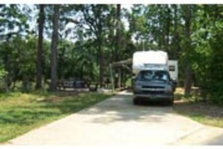
This waterfront campground offers 55 family RV sites and seven tent-only sites, all with electric hookups.

Amenities include flush toilets, showers, drinking water, a dump station and laundry facilities.

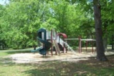
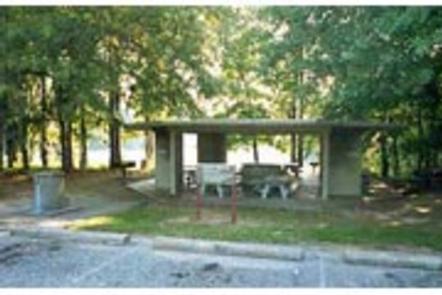
A beach, boat ramp, dock, playground, basketball court and picnic shelter make the campground ideal for families.

Natural Features

The Black Prairie Belt is characterized by rich, dark soils and a mosaic of rolling grasslands and dense hardwood and pine forests.

Reservation

More from CampingHiking.net:

SPILLWAY (AZ), Arizona Campground Images, Info & Reservations

Directions From Payson, Arizona, take Highway 260 northeast toward Heber. Turn left (west) onto Forest Road 300 directly across from the Rim Visitor Information Station and follow for 5 miles. Turn right at Woods Canyon Lake Road. Spillway is on the right, another 0.75 miles further. Phone 928-535-9859 Activities BOATING,

SMITH RAPIDS PAVILION, Wisconsin Campground Images, Info & Reservations

Directions From the intersection of Highways 13 and Highway 70 in Fifield, drive about 12 miles east on Highway 70 to Forest Service Road 148. Turn left (north) and continue just over a mile on Forest Service Road 148, to the Smith Rapids Campground entrance. Phone 715-762-2461 Activities BIKING, BOATING,

HONEYMOON FLAT, California Campground Images, Info & Reservations

Directions Take U.S. Highway 395 through Bridgeport. Turn south on Twin Lakes Road at the Shell gas station. Travel 8 miles on Twin Lakes Road. Turn right at Honeymoon Campground. Phone 760-932-7092 Activities CAMPING, FISHING Keywords HONE,HUMBOLDT-TOIYABE NF-FS Related Link(s) Rec Area Info & Images Forest Service Concessionaire California State

CASTLE BUTTE LOOKOUT, Idaho Campground Images, Info & Reservations

Directions From Missoula, MT: Take US Highway 12 West for about 65 miles. All roads from this point are gravel or dirt and a vehicle with high clearance is suggested. Turn right onto Forest Service Road 108 (Waw’aalamnime Rd), go about .5 miles, turn left onto Forest Service Road #566

BEND GUARD STATION, Montana Campground Images, Info & Reservations

Directions This rental is located approximately 32 miles up the Thompson River Road (County Road 56 on maps, County Road 556 on the ground) from its junction with Montana Highway 200, five miles east of Thompson Falls, Montana. It may also be accessed from U.S. Highway 2 by turning south