WAITSBORO CAMPGROUND, KY Campground Reservation, Info, Images, Map, Directions

WAITSBORO CAMPGROUND, Kentucky Campground Images, Info & Reservations

Directions

From Somerset Kentucky, take Highway 27 south for 5 miles. Turn right on Waitsboro Road and follow signs to the campground.

Phone

606-561-5513

Activities

BOATING, CAMPING, FISHING, DAY USE AREA

Keywords

WAIT,LAKE CUMBERLAND,WOLF CREEK DAM

Related Link(s)

Rec Area Info & Images

Kentucky State Road Conditions

Kentucky State Tourism

Overview

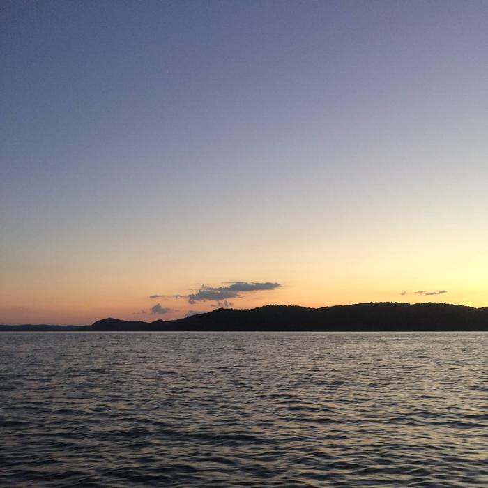
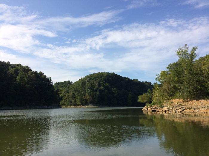
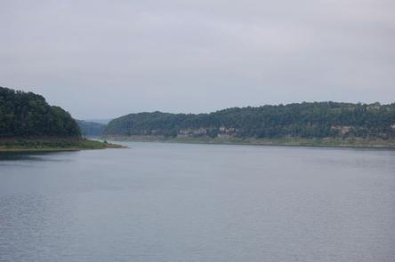
Waitsboro Campground is at 500 Waitsboro Road and is situated on beautiful Lake Cumberland in southern Kentucky.

Click here for the Lake Cumberland virtual tour.

Recreation

Lake Cumberland is the largest man-made lake east of the Mississippi River. Its large surface acreage and over 1,200 miles of shoreline provide a myriad of recreational activities. The lake has an abundance of largemouth, smallmouth, white and Kentucky bass, bluegill, crappie, rockfish and walleye, making it a favorite among anglers. The Black Walnut Nature Trail, located near the lake office, is a self-guided educational trail. The trail is open Monday through Friday 8:00am to 4pm EST.

Facilities

The campground offers 17 RV sites, all with electric hookups, and five tent-only sites. Eight of Waitsboro’s sites are on the waterfront, making them prime locations for weekend recreation.

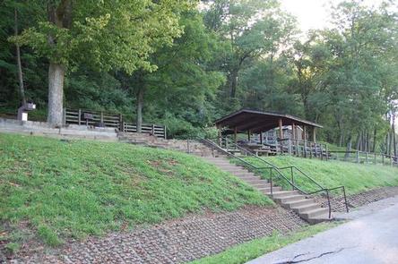
Amenities include flush toilets, showers, drinking water, laundry facilities and a dump station. A day-use area with a group picnic shelter and a parking area is also available.

Natural Features

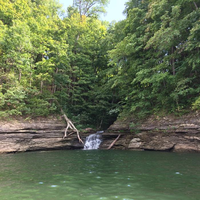
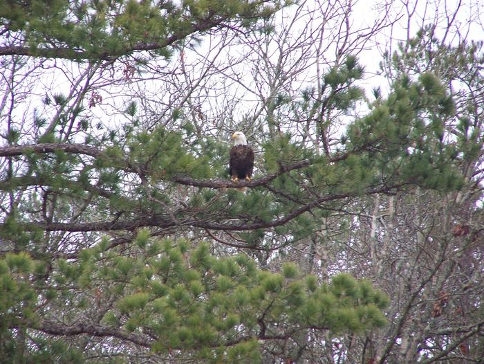
The campground overlooks the main body of the lake, offering sweeping scenic views. Dense stands of mature hardwoods forest the site, offering scenic views, pleasant shade and wildlife habitat.

Because of the temperate climate and relatively long recreation season, the lake provides varied outdoor recreational opportunities for millions of visitors each year.

Nearby Attractions

General Burnside Island State Park is nearby. It was named after Civil War General Ambrose Burnside, who led patrols along the Cumberland River, circling this 400-acre island to keep watch for Confederate soldiers. Visitors come today to enjoy boating, fishing, golfing and picnicking on Kentucky’s only island state park.

Burnside Marina is 10 minutes away, with boat rentals, a restaurant and general store.

Reservation

More from CampingHiking.net:

CHERRY GLEN PICNIC, Iowa Campground Images, Info & Reservations

Directions Utilize address 4586 NW 94th Avenue Polk City IA 50223 (Not a valid mailing address). From I-35, take Exit 92 in Ankeny and turn right on East 1st Street. Travel approximately 5 miles west to NW 94th Ave. Continue across HWY 415 approximately .5 miles to Cherry Glen Picnic

BUCKHORN CAMPGROUND, Kentucky Campground Images, Info & Reservations

Directions Traveling north from Lexington, take I-64 to the Mountain Parkway. Exit at Slade, take KY 11 South through Beattyville. Continue on Highway 11 to Booneville, continuing past the courthouse to KY 28 West. Follow KY 28 about 23 miles to Buckhorn. Traveling east From Hazard, take KY 15 North

GUANELLA PASS, Colorado Campground Images, Info & Reservations

Directions From I-25 in Denver, take I-70 West to Georgetown Exit 228. Go south on County Road 381 (Guanella Pass Scenic Byway) for 9 miles. From Denver take Highway 285 to Grant. Turn right (north) on to Park County Road 62. Drive approx. 14.5 miles to the campground. Phone 801-226-3564

LAUREL BRANCH, Kentucky Campground Images, Info & Reservations

Directions From Louisville, KY: Begin at ramp onto I-64 West toward New Albany/St. Louis, traveling 22.3 miles. Take the IN-135, Exit Number 105, toward Palmyra/Corydon, onto IN-135 South toward Corydon, traveling 16.7 miles. Continue on Bypass Road KY-79 for 2.1 miles. Turn right onto KY-79, traveling 10.1 miles. Continue on

FURNACE CREEK, California Campground Images, Info & Reservations

Directions Death Valley is in eastern California on the Nevada border, 130 miles west-northwest of Las Vegas, Nevada and 106 miles east of Lone Pine, California. Furnace Creek Campground is a half-mile north of Furnace Creek Visitor Center on State Highway 190. Phone 760-786-2441 Activities BIKING, HISTORIC & CULTURAL SITE,

NORTH OVERLOOK PICNIC SHELTER (IA), Iowa Campground Images, Info & Reservations

Directions 1007 Hwy T15 Knoxville, Iowa 50138 From Pella, Iowa, take County Highway T-15 southwest for 3 miles, then follow signs to North Overlook Picnic Shelter. Phone 641-828-7522 Activities CAMPING, PICNICKING, BIRDING Keywords Related Link(s) Rec Area Info & Images Iowa State Road Conditions Iowa State Tourism Overview North Overlook