

Directions
From Interstate 80, exit onto Highway 89 in Truckee. Follow Highway 89 north for 17 miles to the Jackson Meadows turnoff. Travel west for 18 miles, to Jackson Meadows Reservoir. Cross over the dam and continue to the junction. Turn left and continue to the Woodcamp Recreation Area.
Phone
530-265-8861
Activities
BIKING, BOATING, CAMPING, FISHING, HIKING, HUNTING, WATER SPORTS, SWIMMING SITE
Keywords
WOCA,JACKSON MEADOWS RESERVOIR,SEIRRAVILLE,TAHOE NF – FS
Related Link(s)
California State Road Conditions
Overview
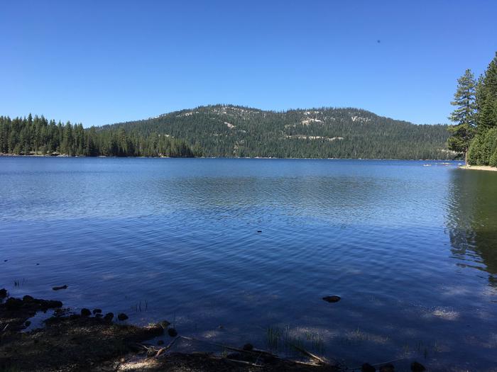
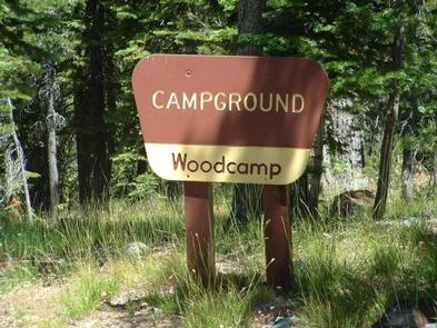
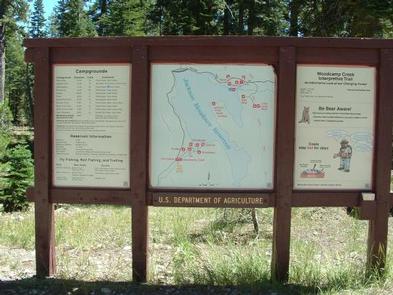
Woodcamp Campground is located on the scenic Jackson Meadow Reservoir, in the Tahoe National Forest. Its location, part of the Woodcamp Recreation Area, provides a great base camp for a wide range of recreational activities, including boating, fishing, hiking. Woodcamp Campground is operated by Nevada Irrigation District in cooperation with the Tahoe National Forest.
Recreation
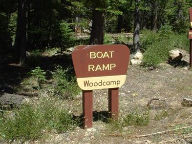
Jackson Meadow Reservoir offers excellent opportunities for boating, canoeing, water skiing, swimming and fishing. Anglers will find rainbow and brown trout. A boat ramp and designated swim beach are located within the recreation area.
A half-mile interpretive nature trail wanders through the campground. A portion of the Pacific Crest Trail meanders along the east side of the lake. Hunting and biking are popular activities in the surrounding area.
Facilities
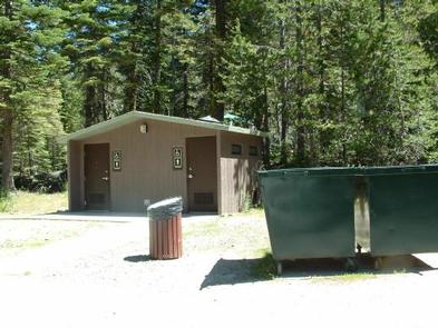
The campground offers several single-family campsites, each equipped with a picnic table and campfire ring. Flush and vault toilets and drinking water are provided.
Natural Features
Jackson Meadow Reservoir is situated in a rolling forested valley, where visitors are awarded beautiful views of the Sierra Crest and English Mountain. The campground lies on the western shore in a forest of pine and fir trees.
Nearby Attractions
Grouse Ridge Non-Motorized area, Bowman corridor lakes, camping, and hiking. PCT access on the east side of the lake.