Moss Creek campground, WA Campground Reservation, Info, Images, Map, Directions

Moss Creek campground, Washington Campground Images, Info & Reservations

Directions

From I-5 at Vancouver, WA, turn east on Highway 14 for 56 miles to Cook. Turn north on Cook-Underwood Rd, drive 5 miles then turn left onto Willard Road, drive 2+ miles continue onto Oklahoma Rd, drive under 1 mile Campground is on your right. 

Phone

541-338-7869

Activities

CAMPING, FISHING

Keywords

MOSS,GIFFORD PINCHOT NF – FS

Related Link(s)

Rec Area Info & Images

Forest Service Concessionaire

Washington State Road Conditions

Washington State Tourism

Overview

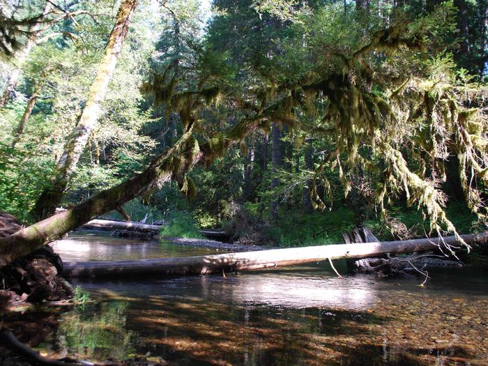
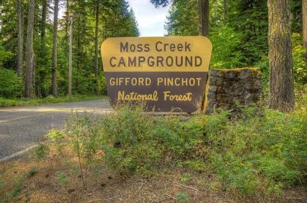
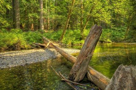
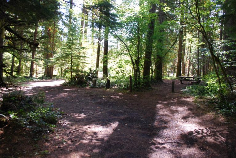
Located in the southeast corner of the Gifford-Pinchot National Forest and close to Columbia River Gorge, Moss Creek Campground sits alongside the Little White Salmon River. At an elevation of 1,400 feet, the campground is shaded by a thick canopy of hemlock, cedars, firs and maples. Moss Creek is ideal for those wishing to escape the summer heat.

Recreation

The Little White Salmon River offers rainbow and brook trout for anglers. Visitors can enjoy wading in the cool waters.

Facilities

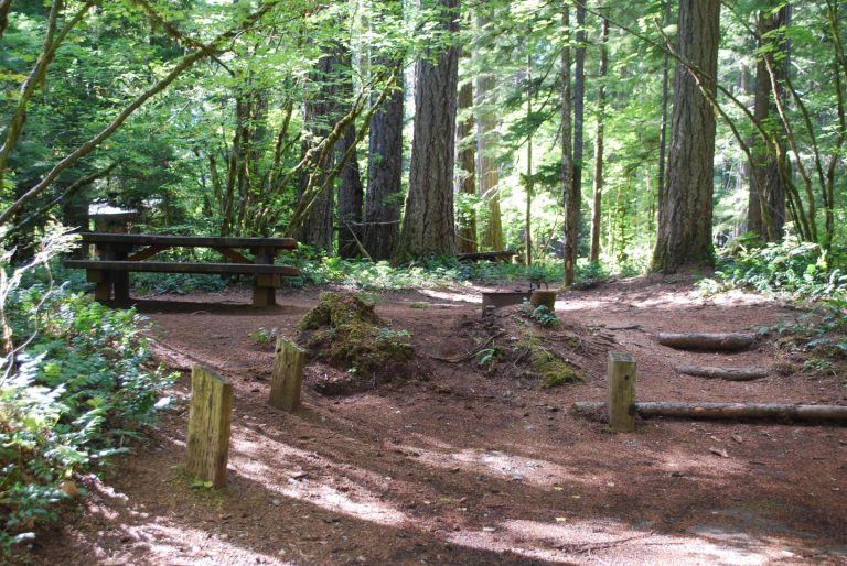
This small campground has 16 sites that are ideal for tents but useable by smaller RVs and trailers.

Drinking water and vault toilets are available. Picnic tables and fire rings are provided, and firewood can be purchased on-site.

Natural Features

Located in southwest Washington State, the Gifford Pinchot National Forest encompasses 1.3 million acres and includes the 110,000-acre Mount St. Helens National Volcanic Monument, established by Congress in 1982.

Moss Creek is located in the Mount Adams Ranger District in the easternmost portion of the Gifford Pinchot National Forest. Mount Adams is a prominent landmark on the District, where elevations range between 1,200 and 12,276 feet.

The District features a great diversity of habitats, from old growth to second growth forest, wetland areas, low and high elevation meadows, glaciers and low and high elevation lakes.

Nearby Attractions

Moss Creek Campground is an excellent base for exploring the various sights around Mount Adams and the Columbia River Gorge.

Reservation

More from CampingHiking.net:

CEDAR BLUFF, California Campground Images, Info & Reservations

Directions From Fresno, California: Take Highway 41 north through Oakhurst. Turn right onto Forest Road 222 (toward Bass Lake) and keep right for 3.5 miles to the Bass Lake Campground office. Continue southeast on Forest Road 222 for approximately 2.75 miles to Cedar Bluff Campground. Phone 559-642-3212 Activities BOATING, CAMPING,

OLD POST ROAD, Arkansas Campground Images, Info & Reservations

Directions From SR-7, take Lock and Dam Road for one mile and follow signs into campground. Phone 479-968-7962 Activities BOATING, CAMPING, FISHING, VISITOR CENTER, MOUNTAIN BIKING, BIRDING, DISC GOLF, SOCCER FIELDS Keywords OLDP,DARDANELLE LAKE – ARK.RIV.NAV.,DARDANELLE LAKE Related Link(s) Rec Area Info & Images Arkansas State Tourism Arkansas State Road

BREVOORT LAKE CAMPGROUND, Michigan Campground Images, Info & Reservations

Directions N4149 Brevort Camp Road Moran Michigan 49760 From St. Ignace, Michigan, take Highway 2 west for about 20 miles. Turn north on Brevort Camp Road/Forest Service Road 3108, then right at Forest Service Road 3473 and continue to the campground entrance. Phone 906-203-9872 Activities BIKING, BOATING, CAMPING, FISHING, HIKING,

CHILHOWEE GROUP CAMP, Tennessee Campground Images, Info & Reservations

Directions From Highway 64/411 intersection, travel east 7 miles, turn onto Forest Road 77, drive 7.5 miles to campground/recreation area. Phone 423-338-3300 Activities BIKING, CAMPING, FISHING, HIKING, WILDLIFE VIEWING, MOUNTAIN BIKING, KAYAKING, CANOEING, WATER ACCESS, SCENIC DRIVE, RAFTING, RIVER TRIPS, WHITEWATER RAFTING, AMPHITHEATER, ACCESSIBLE SWIMMING Keywords CHILHOWEE GROUP CAMP,CHILHOWEE Related

MOSOMO POINT, Minnesota Campground Images, Info & Reservations

Directions From Deer River, travel north on Highway 46 for 19 miles. Turn west on Forest Road 2190 about a half-mile past the Cut Foot Sioux Visitor Center. Continue to the campground. Phone 218-246-2123 Activities BIKING, BOATING, CAMPING, INTERPRETIVE PROGRAMS, FISHING, HIKING, WATER SPORTS Keywords MOSO,CHIPPEWA NF – FS Related

HIRZ MOUNTAIN LOOKOUT, California Campground Images, Info & Reservations

Directions From Redding, California, take Interstate 5 north approximately 20 miles to Gilman Road, exit 698. Turn right and follow Gilman Road approximately 5 miles to road 35N04. Turn left on the road 35N04. This steep, rocky, dirt road is not recommended for low clearance passenger vehicles. Travel approximately 5