
Directions
Traveling north on Highway 41, approximately 3 miles out of Oakhurst, take Road 632 (aka Sky Ranch Road) 8 miles to the Y junction of 632 and 6S40. Stay left at the Y and go 3 miles to Kelty Meadow Campground on the left side of the road.
Phone
559-642-3212
Activities
CAMPING, HIKING
Keywords
KELT,SIERRA NF – FS
Related Link(s)
California State Road Conditions
Overview
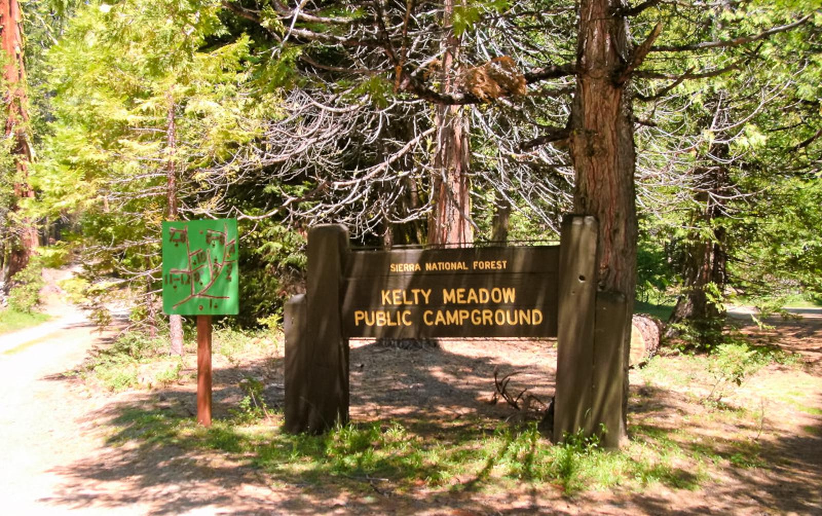
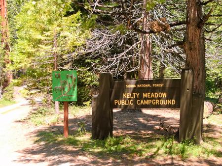
Kelty Meadow Campground is located in a mountainous area near Bass Lake. This horse-friendly camp is shaded by pine and cedar trees alongside Kelty Creek, with campsites wide and open enough to accommodate small horse trailers, slide-ins, tent trailers or tents.
Recreation
Visitors enjoy horseback riding on logging and forest roads in the surrounding area. Most other recreational activities in the area are centered around Bass Lake.
Bass Lake offers a beach and boat ramp. Popular activities include hiking, swimming, motorized boating, canoeing, kayaking, water skiing, sailing and fishing for bass, trout, bluegill and catfish.
Facilities
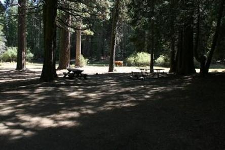
Each campsite is equipped with a picnic table, campfire ring and grill. Some sites have hitching posts.
Vault toilets are available. Drinking water is not provided, but a stock water supply is available from the creek.
Natural Features
The Sierra National Forest, located on the western slope of the central Sierra Nevada, is known for its spectacular mountain scenery and abundant natural resources. The terrain includes rolling, oak-covered foothills, heavily forested middle elevation slopes and the starkly beautiful alpine landscape of the High Sierra.
Kelty Meadow Campground is located in the Bass Lake Ranger District at an elevation of 3,400 feet. Bass Lake is a very popular area known for its variety of fish, as well as the bald and golden eagles that make their home here.
Nearby Attractions
A trailhead for the Shadow of the Giants National Recreation Trail is a few miles south of the campground. This 1-mile interpretive trail gives visitors the opportunity to learn about giant sequoias that grow in this forest.