
Directions
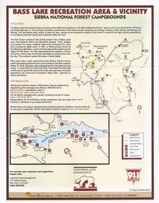
From Fresno, take Highway 41 north through town of Oakhurst. Take the Sky Ranch Road (Road 632) east for 7 miles, turn southeast on Forest Road 6S40, and travel 1 mile to Soquel Campground.
Phone
559-642-3212
Activities
CAMPING, HIKING
Keywords
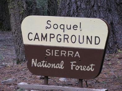
SOQU,SIERRA NF – FS
Related Link(s)
California State Road Conditions
Overview
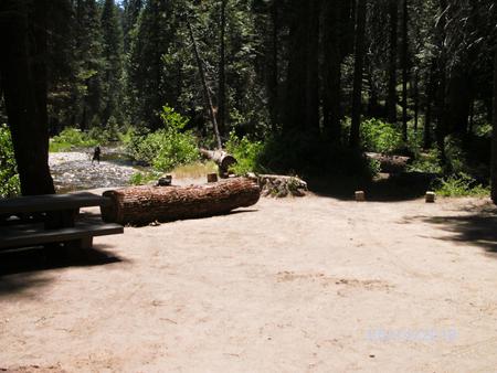
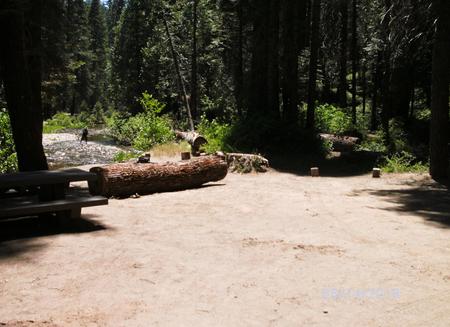
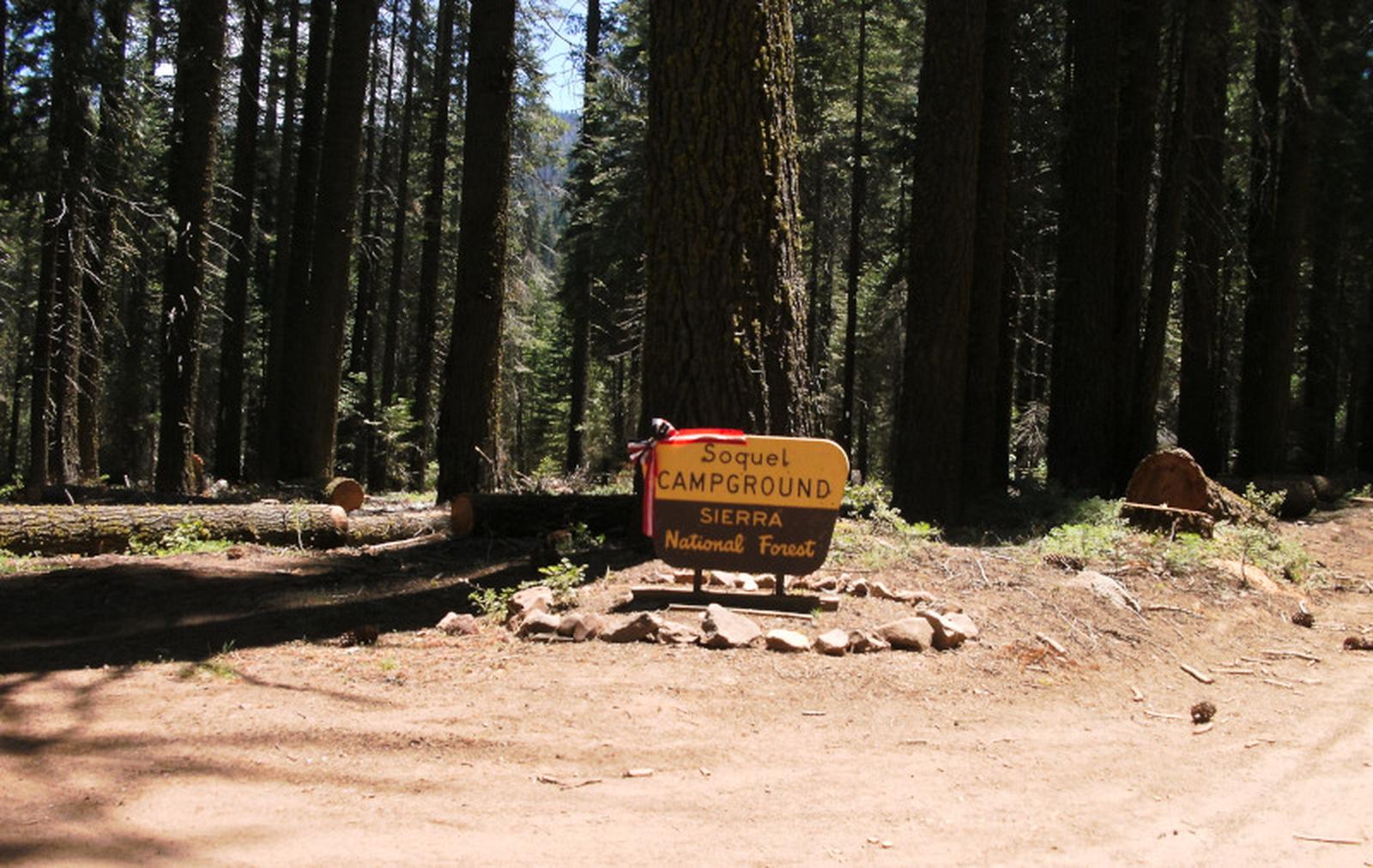
Soquel Campground consists of two loops on the banks of Willow Creek. The primitive sites are well-shaded by pine and fir trees and can accommodate small trailers and tents.
Recreation
Trails can be found off Highway 41 west of the campground, including the 3.7-mile Lewis Creek National Recreation Trail and the Miami Motorcycle Trails, a network of forest roads and trails for dirt bikes and off-road vehicles.
The Shadow of the Giants, a grove of giant sequoias, is popular 1-mile hike just a short drive north of the campground.
Facilities
Each site has a dirt parking spur, picnic table, campfire ring and grill. Vault toilets are provided, but drinking water is not available. Campers must bring their own supply.
Natural Features
The Sierra National Forest, located on the western slope of the central Sierra Nevada, is known for its spectacular mountain scenery and abundant natural resources. The terrain includes rolling, oak-covered foothills, heavily forested middle elevation slopes and the starkly beautiful alpine landscape of the High Sierra.
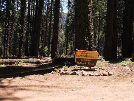
Soquel Campground is located in the Highway 41 Corridor of the Bass Lake Ranger District. This area is known for the Nelder Grove of giant sequoias.
Nearby Attractions
Yosemite National Park is a popular day trip from the area. The historic logging train at Yosemite Mountain Sugar Pine Railroad is a little closer to the campground.
Soquel Campground is just off the Sierra Vista Scenic Byway (Sky Ranch Road), an 83-mile drive past many highlights of Sierra National Forest.