
Directions
From Susanville, California, take Highway 36 for 2 miles west to County Road A-1. Turn north and continue 14 miles to the Eagle Lake Recreation Area, following the signs to the campground.
Phone
530-825-3212
Activities
BOATING, CAMPING, HIKING, WINTER SPORTS, WATER SPORTS, WILDLIFE VIEWING, SWIMMING SITE
Keywords
WEEA,LASSEN NF – FS
Related Link(s)
California State Road Conditions
Overview
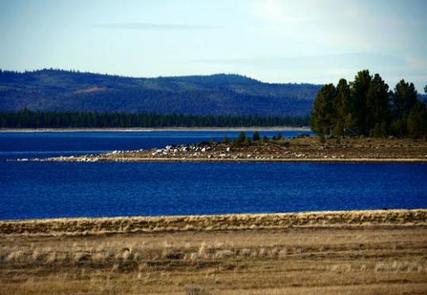
West Eagle Campground is part of the Eagle Lake Recreation Area in the Lassen National Forest, which offers a variety of lakes, streams and wilderness areas and an abundance of recreation opportunities.
In addition to water sports on the lake, the area also offers miles of trails that are used year-round for hiking and mountain biking and by snowmobiling enthusiasts during the winter months.
Recreation
The 27,000-acre lake provides ample boating, swimming, water skiing and sailing opportunities. Visitors also enjoy the plentiful trout fishing. A boat ramp can be found not far from the campground, and a beach is located at the nearby Aspen Campground.
The campground offers access points for miles of trails within the Eagle Lake Recreation Area. A 6-mile hiking, biking and horseback riding trail parallels the lake and winds through the surrounding forest.
Facilities
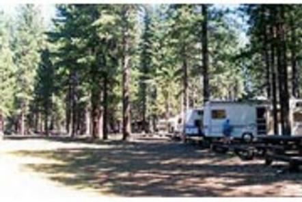
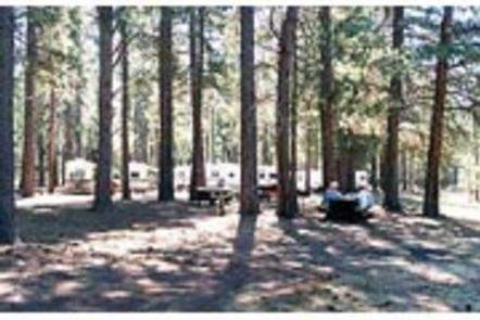
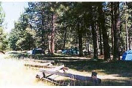
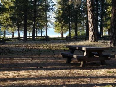
West Eagle Campground offers two group sites for tent or RV camping. One site can accommodate up to 75 guests, while the other is rated for up to 100 guests.
Each site is equipped with tables and campfire rings with grills. Accessible flush toilets, electricity and drinking water are provided. Firewood is available for purchase.
Natural Features
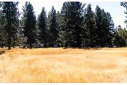
The campground is located on the southeastern shores of Eagle Lake, in northeastern California, at an elevation of approximately 5,100 feet. It is nestled in a forest of mature pine trees with a grassy understory. A few sites offer sweeping views of the adjacent lake and some have space to moor a boat.