Directions
From Petersburg, the cabin is 15 miles by float plane or 25 miles by boat. It is accessible at any tide. Refer to USGS topographic map Petersburg C4; Petersburg C3 and D4 may also be helpful. Maps are available online or by calling the Petersburg Ranger District at (907) 772-3871.
Phone
907-772-3871
Activities
BOATING, CAMPING, FISHING, HUNTING, WILDLIFE VIEWING
Keywords
BREI,TONGASS NF – FS
Related Link(s)
Overview
Breiland Slough Cabin is located on the west side of Duncan Canal on Kupreanof Island. It is open year-round and makes a good base camp for exploring the nearby Castle Islands. Visitors have access to great fishing, hunting and wildlife viewing. There is also space outside the cabin for additional campers to occupy tents.
The cabin is accessible by float plane or boat from Petersburg. Visitors are responsible for their own travel arrangements and safety, and must bring several of their own amenities.
Recreation
Visitors enjoy boating, sea kayaking, exploring nearby islands, wildlife viewing, berry picking, walking along the beach and fishing. Hunting is available as per state or federal hunting regulations; click here for more information from the Alaska Department of Fish and Game. Anglers can catch coho salmon, dungeness crab and shrimp in front of the cabin. The ideal time for crabbing is during incoming tide (local tide charts).
Facilities
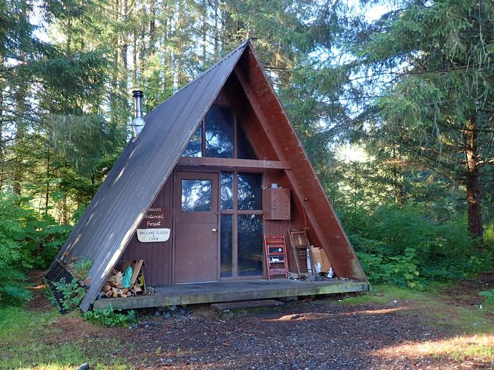
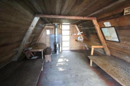
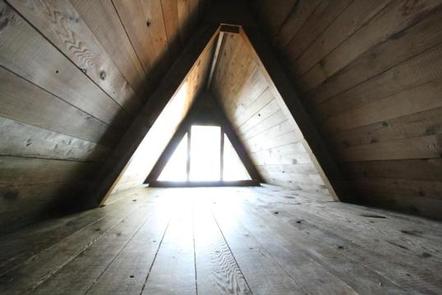
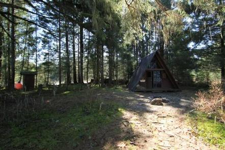
The small A-frame cabin has two double bunks and a sleeping loft that can be accessed via a wooden ladder. It is equipped with a table, benches and a clean-burning oil stove for heat. An outhouse with a pit toilet is provided. No drinking water is available at the cabin. The nearest water source is a small stream located a quarter-mile south of the cabin, but it needs to be boiled or treated prior to culinary use. It is recommended that visitors bring their own supply of water for drinking, cooking and washing. Heating oil is not supplied for the oil stove. Visitors need to bring No. 1 heating oil, in addition to sleeping bags and pads, a cook stove and cooking gear, towels, food, clothing, fire starter, fire extinguisher, extra toilet paper and garbage bags, among other necessities. All trash and food must be packed out, and visitors are expected to clean the cabin prior to leaving. Click here for more cabin details and maps.
Natural Features
The cabin is located on a small peninsula with a gravel beach in front and grass flats in back, offering ideal waterfowl viewing. Wildlife in the area includes grouse, waterfowl, black bears and marine mammals (learn about bear safety). The surrounding terrain is beach fringe forest and grass flats. The beach offers scenic views of the Castle Islands to the north.
Nearby Attractions
The nearby Castle Islands are the site of old underwater barite mining operations.


