
Directions
From Carson, WA: Travel 6 miles north to Old State Highway, (follow signs) turn right and then take your first left on Panther Creek Road. Proceed on Panther Creek Road for 4 miles to the campground.
Phone
541-338-7869
Activities
CAMPING, FISHING, HIKING, HUNTING
Keywords
PANC,GIFFORD PINCHOT NF – FS
Related Link(s)
Washington State Road Conditions
Overview
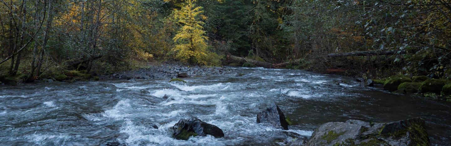
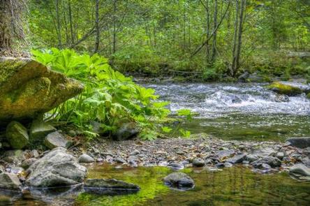
The Campground sits along Panther Creek at the intersection of the Pacific Crest Trail.
Driving on FR65, 4.7 miles upstream from the campground, visitors can enjoy an easy hike to Panther Falls.
Campers can enjoy the privacy provided by a variety of shade-loving plants and a thick forest of cedars, ash, firs and alder.
Recreation
Hikers have close access to the Pacific Crest Trail, which spans 2,663 miles from Mexico to Canada. Outstanding scenic views are available all along this trail.
Facilities
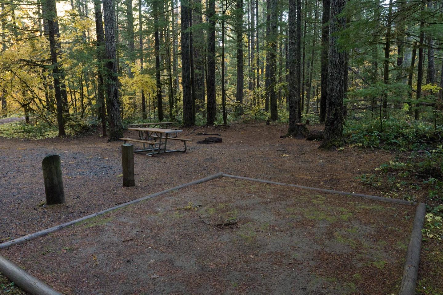
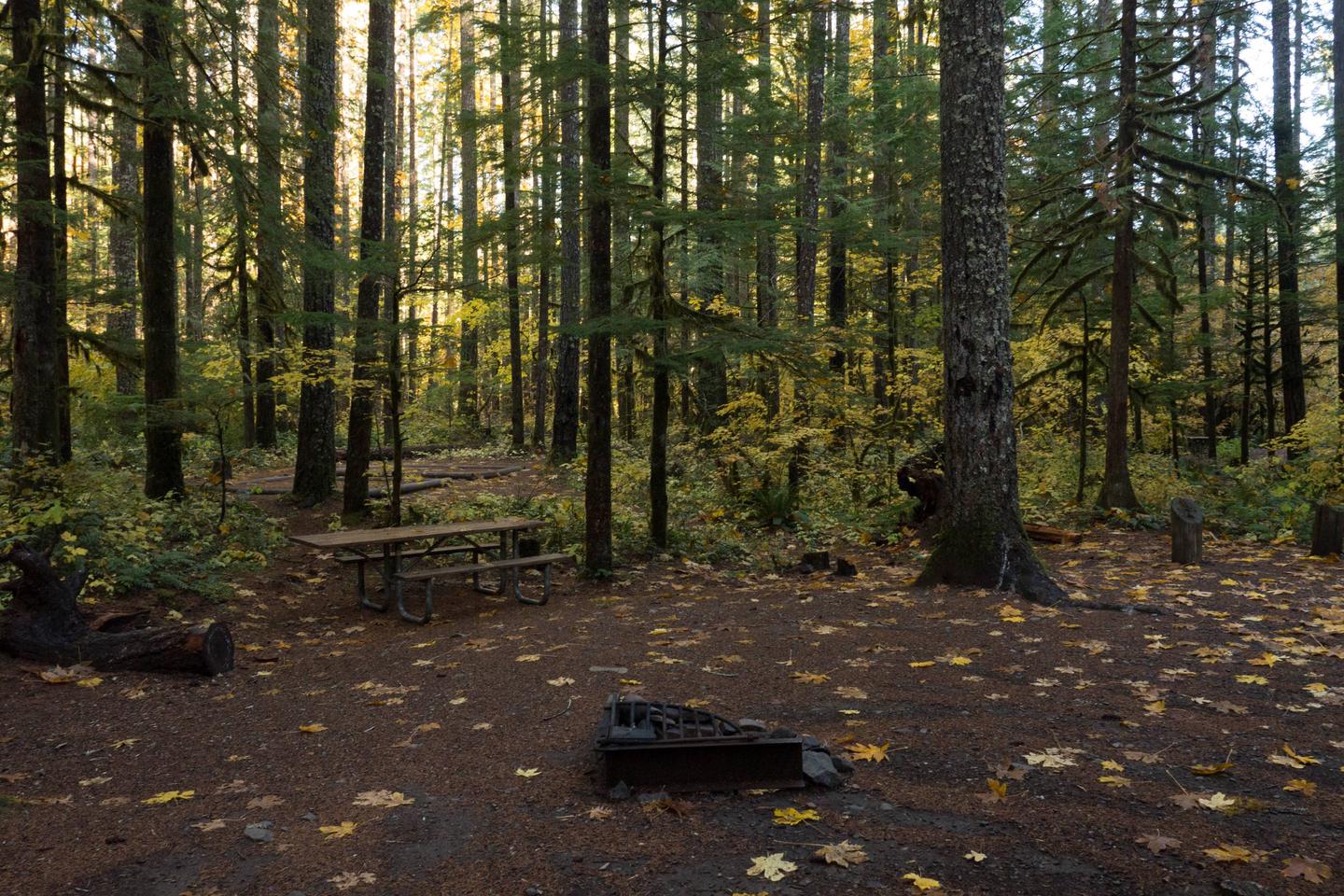
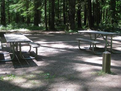
The campground consists of 33 back-in sites with parking spurs that vary from 20 to 40 feet in length.
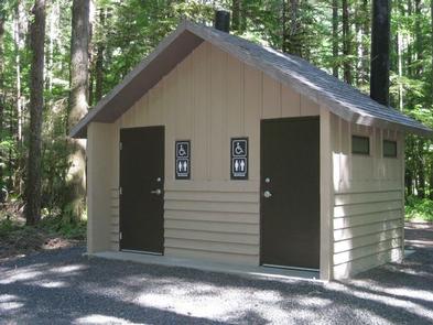
The campground’s Premium Sites are adjacent to the creek and each site comes with a picnic table and grill. Potable water and vault toilets are also available.
Natural Features
Located in southwest Washington State, the Gifford Pinchot National Forest encompasses 1.3 million acres and includes the 110,000-acre Mount St. Helens National Volcanic Monument established by Congress in 1982.
Panther Creek Campground is located in the Mt. Adams Ranger District. Elevations here range between 1,200 feet at the Wind River Work Center, 12 miles north of Carson, WA and 12,276 feet at the summit of Mt. Adams.
The Mount Adams Ranger District offers a diverse array of habitats and natural features, from old growth to second growth forest, wetland areas, low and high elevation meadows, glaciers, and low and high elevation lakes.
Nearby Attractions
Panther Creek Campground makes a great base to explore Mount Adams and the Columbia River Gorge.
The town of Carson is nearby, which is known for its hot springs. It also has a golf course, restaurants and shopping.