


Directions
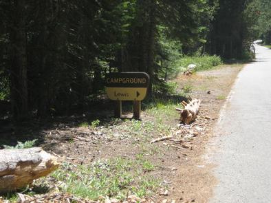
From either east bound or west bound Interstate 80 take exit 121 to Foresthill. Travel 17 miles east to Foresthill. Turn right on Mosquito Ridge Road and travel 35 miles east to French Meadows Reservoir. After crossing the French Meadows dam turn left and continue driving about 6 miles around the lake to the north shore, Lewis Campground will be on the right.
Phone
530-367-2224
Activities
BIKING, BOATING, CAMPING, FISHING, HIKING, WILDLIFE VIEWING, SWIMMING, KAYAKING, CANOEING, NON-MOTORIZED BOATING, SCENIC DRIVE
Keywords
LRME,French Meadows
Related Link(s)
California State Road Conditions
Overview
Lewis Campground is located on French Meadows Reservoir in the Tahoe National Forest, 40 miles east Foresthill. Visitors enjoy the area for its fishing, boating and trail opportunities.
Recreation
Popular activities on the reservoir include boating, canoeing, fishing and swimming. McGuire boat ramp is located within a mile of the campground. The Middle Fork American River can be accessed nearby and provides fishing and swimming. A variety of hiking and biking trails are found in the surrounding area, including the Western States Trail, Tevis Cup Trail, and some that provide access to the nearby Granite Chief Wilderness.
Facilities
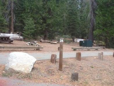
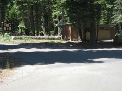
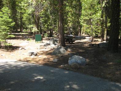
The campground offers single-family campsites, a few of which are accessible. Each site is equipped with a picnic table and a grill. Flush and vault toilets and drinking water are provided. Roads and parking spurs are paved.
Natural Features
The campground sits on the north shore of French Meadows Reservoir in a coniferous forest. The reservoir is on the Middle Fork of the American River and is the western gateway to the Granite Chief Wilderness.
Nearby Attractions
Lewis Campground is a recreation site within the French Meadows Recreation Area which includes many other recreation facilities. The Granite Chief Wilderness can be accessed nearby at Talbot Trailhead and access to the Western States Trail and Tevis Cup Trail also can be accessed nearby. Other recreation opportunities include many hiking, equestrian, mountain biking, and motorcycle singletrack trails, Duncan Canyon, Duncan Peak Lookout, Robinson Flat historic ranger station, Placer County Big Tree Grove Botanical Area, and Grouse Falls Scenic Area.