


Directions
From I-5 take exit 188A, heading west on Highway 58 for 62.4 miles, then continue 1.9 miles south on Road 5810 to the campground.
Phone
541-323-1746
Activities
BIKING, BOATING, CAMPING, FISHING, HIKING, WATER SPORTS, SWIMMING SITE
Keywords
TRPC,Trapper,Trap,Shelter Cove,Odell,Trapper Creek,Trapper Creek Campground
Related Link(s)
Overview
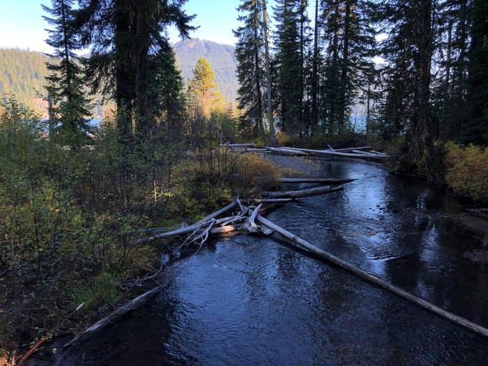
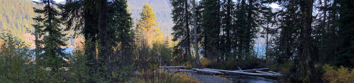
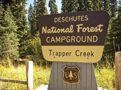
Trapper Creek Campground is located in the Crescent Ranger District of Deschutes National Forest. Heavily forested and situated on a small stream that feeds into Odell Lake, this campground is a favorite in the area.
Sparkling lakes, tranquil streams and nearby scenic peaks provide visitors with the perfect backdrop for fishing, boating, hiking and biking throughout the area.
Recreation
Boating, swimming and fishing are popular activities enjoyed by visitors during spring, summer and fall. Anglers have the opportunity to fish in clear, cold lakes and streams for abundant salmon and trout. Cross-country skiing and snowshoeing are popular during the winter.
For anglers, Odell Lake is considered one of the blue giants of the Deschutes National Forest. This large lake has an average depth is 132 feet, which makes it ideal habitat for lake trout and bull trout. Rainbow trout, kokanee salmon and whitefish are also found in the lake.
Boats are the most effective way to fish this lake but visitors should be aware of afternoon winds, as the lake can get dangerously rough. A boat ramp is provided at the campground.
Facilities
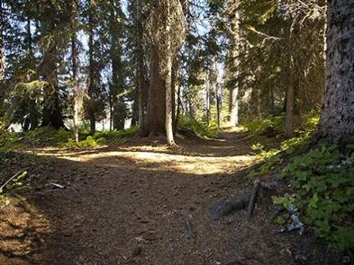
Trapper Creek Campground offer sites that accommodate both tent and RV camping. The sites are secluded, and many are tucked away in thick forested areas.
Sites are equipped with tables and campfire rings with grills. Drinking water are also available.
Natural Features
Nearby Odell Lake offers views across the water to Diamond Peak, the most prominent peak in nearby Diamond Peak Wilderness. At an elevation of 8,744 feet, this shield volcano formed as the entire Cascades mountain range was undergoing volcanic activity and uplift.
Mixed stands of pine and fir trees tower over a variety of springtime flowers. Huckleberry is common in the underbrush of the campground.
Wildlife found in the area include deer, elk, pine martens, ravens, native fish and an occasional black bear.
Nearby Attractions
Visitors can explore wilderness areas, wild and scenic rivers, lakes and reservoirs and approximately 1,600 miles of trails that comprise nearly 2.5 million acres the Deschutes National Forest and the adjacent Ochoco National Forest.
Lava Lands Visitor Center in nearby Bend, Oregon, and the Newberry National Volcanic Monument draw visitors to the region as well.
Visitors will also enjoy traveling the Cascade Lakes Scenic Byway, known as Oregon’s Highway in the Sky, which climbs into the clouds on a 66-mile drive through the Cascade Mountain range, weaving through snow-capped peaks and alpine lakes.
A nearby resort on Odell Lake offers lodging and a general store with camping supplies, coffee, snacks and fishing licenses.