
Directions
From Salem, take I-5 South 20.7 miles to exit 233 toward Sweet Home. Continue along Highway. 20 for 83 miles, then turn left on Forest Road 14 and go 6.1 miles. The campground is 0.5 miles north on Forest Road 1419.
From Sisters, travel 9.6 miles northwest on Highway 20. Turn right on Forest Road 14 and go 6.1 miles. The campground is 0.5 miles north on Forest Road 1419.
Phone
541-323-1746
Activities
BIKING, BOATING, CAMPING, FISHING, HIKING
Keywords
Sherman,Metolious,CSCP,Camp Sherman Campground,Camp Sherman,CAMP SHERMAN CAMPGROUND (OR)
Related Link(s)
Overview
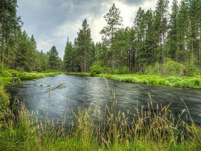
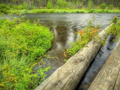
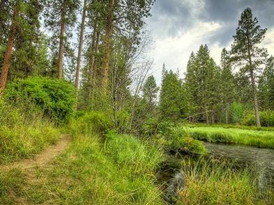
Camp Sherman Campground is nestled on the banks of the scenic Metolius River in Deschutes National Forest. It offers visitors some of the most stunning scenery in central Oregon and easy access to an abundance of recreational activities.
Recreation
Hiking and fishing top the list of recreational activities at Camp Sherman Campground. Biking is a great way to see the area as well. Anglers enjoy fly-fishing for rainbow trout, whitefish, bull trout and kokanee salmon.
Day hikers and backpackers will find a wide variety of hiking trails through scenic terrain, ranging from riverside trails to routes through subalpine forests.
Facilities
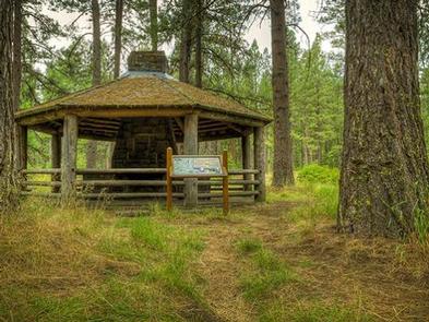
Camp Sherman Campground offers a handful of standard sites for both tent and RV camping, and one tent-only site. Each sites is equipped with a picnic table and campfire rings. Vault toilets and drinking water are provided, but electrical hookups are not available.
Showers are available in the town of Camp Sherman, less than 2 miles from the campground.
Natural Features
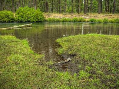
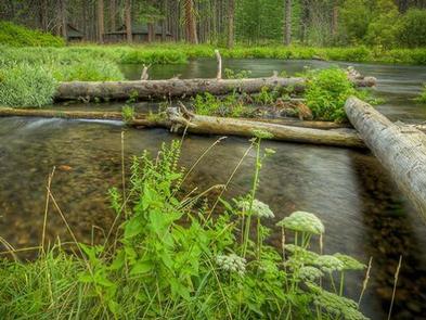
Many sites at this campground have views of to Metolius River, a tributary of the Deschutes River, through Lake Billy Chinook, near the city of Sisters.
Metolius Springs forms the headwaters of the river at the base of Black Butte, a 3,076′ cinder cone. The clear, cold river flows north from the springs through diverse coniferous forest and a landscape of volcanic activity.
The area provides habitat for mammals such as mule deer, coyote and cougar. Migratory birds and native fish also call the area home.
Nearby Attractions
The Metolius-Windigo Trail begins near the Metolius River headwaters west of the town of Sisters. The trail is over 100 miles long and is open to hiking, biking and horseback riding. It was created in the 1980s by linking sections of existing trails, primarily to give long-distance horseback riders an alternative to the Pacific Crest Trail.