EWING POINT DISPERSED CAMPSITE, MI Campground Reservation, Info, Images, Map, Directions

EWING POINT DISPERSED CAMPSITE, Michigan Campground Images, Info & Reservations

Directions

From Munising, Michigan, take State Route 28 to Wetmore and turn south on Highway 13. Travel about 15 miles, then turn left on Forest Service Road 2173 at the Petes Lake Campground sign. Turn right at the sign for McKeever Lake. The campsite is accessed through the boat launch area.

Phone

906-387-2512

Activities

BIKING, CAMPING, HIKING, SWIMMING SITE

Keywords

McKeever Lake,D115,EWING POINT DISPERSED CAMPSITE (MI),Ewing Point Dispersed Campsite

Related Link(s)

Rec Area Info & Images

Michigan State Tourism

Michigan State Road Conditions

Overview

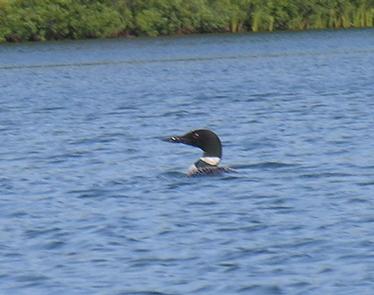
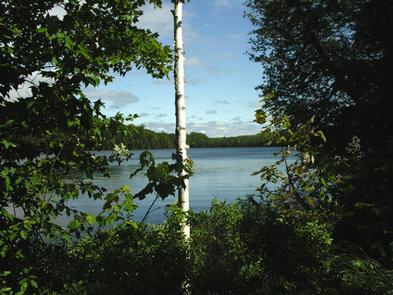
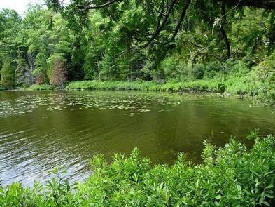
Ewing Point is located on the beautiful, 132-acre McKeever Lake in the forests of Michigan. This spacious campground provides a rustic environment in a secluded setting.

Recreation

Bruno’s Run Hiking Trail weaves throughout the Ewing Point area, offering 9 miles of adventure for hikers. The trail is accessible at various locations, two of which are near the Ewing Point parking area. One section of the trail leads to Grassy Lake, while the other heads along the southeastern portion of McKeever Lake.

McKeever Lake offers great fishing for musky, pike, bass and pan fish, and there is boat access in the parking area. Boats must be carried to the site by hand or through the water. Because the water is quite shallow, large boats are not recommended.

Facilities

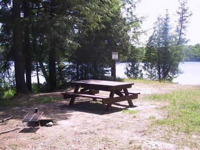
The campsite is equipped with tables and a campfire ring with a grill. A lantern post and pit toilet are also available.

Natural Features

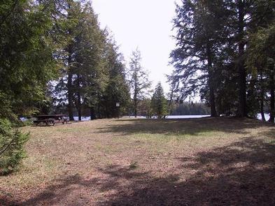
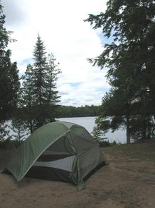
There is one walk-in campsite on Ewing Point, accessible by a primitive foot trail. The site lies in a grassy area, surrounded by cedar and hemlock.

Reservation

More from CampingHiking.net:

BIG ELK, Idaho Campground Images, Info & Reservations

Directions From Idaho Falls, Idaho, travel approximately 56 miles on Highway 26 to Palisades Dam. Once at the dam, continue 6 miles east on Highway 26, then turn left onto Forest Road 262 (Big Elk Creek Road) and travel 2 miles to the campground. Phone (208) 270-0150 OR 541-351-1182 Activities

ROCK CREEK CAMPGROUND, Oregon Campground Images, Info & Reservations

Directions From Bend, travel about 50 miles southwest on Cascade Lakes Hwy (46). Campground is on left-hand side of Cascade Lakes Highway. Phone 541-323-1746 Activities CAMPING Keywords Related Link(s) Rec Area Info & Images Oregon State Tourism Oregon State Road Conditions Overview Rock Creek Campground is located on the western

SHAKES SLOUGH 1 CABIN, Alaska Campground Images, Info & Reservations

Directions The Shakes Slough Cabins are located in the Stikine-LeConte Wilderness on the north shore of the Stikine River at the Shakes Slough entrance. From Wrangell, the cabin is 20 miles by float plane or 25 miles by shallow draft boat. Low river levels and tides affect access to the

OLALLIE ON MCKENZIE HIGHWAY, Oregon Campground Images, Info & Reservations

Directions From Eugene, take I-105 east to McKenzie Highway 126 for 55 miles to McKenzie Highway. Travel 13 miles beyond McKenzie Highway on 126 East. Olallie is on the left-hand side of the road. Phone 801-226-3564 Activities FISHING, HIKING Keywords OLAL,WILLAMETTE NF -FS Related Link(s) Rec Area Info & Images