
Directions
From downtown Pagosa Springs, travel 11 miles east on Highway 160 to the junction with East Fork Road (Forest Road 667). Turn right and continue less than a mile to the campground on the right.
Phone
970-264-5255
Activities
BIKING, CAMPING, FISHING, HIKING
Keywords
None
Related Link(s)
Colorado State Road Conditions
Overview
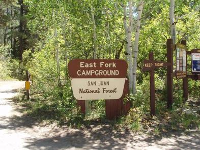
East Fork Campground is located 11 miles northeast of Pagosa Springs, just off U.S. Highway 160, along the East Fork Road. Visitors enjoy the area for its fishing, hiking and scenic opportunities.
Recreation
The East Fork offers plenty of fishing opportunities upstream from the campground. Trailheads for the Coal Creek Trail and the Quartz Ridge Trail are at Sand Creek, 2-5 miles beyond the campground.
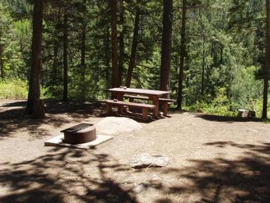
Facilities
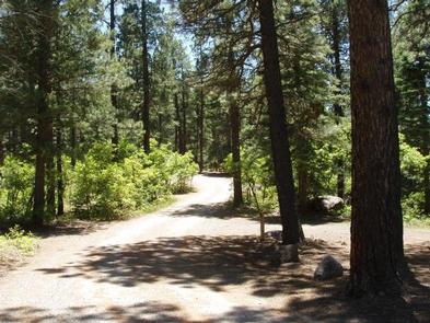
The campground offers several single-family sites, many with views of the river below. There are a few level pull-through parking spaces for RVs. Accessible vault toilets and drinking water are provided.
Natural Features
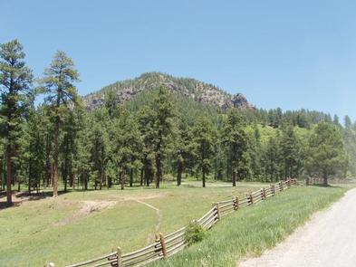
The campground sits on a ridge overlooking the East Fork of the San Juan River. Some sites have views of the river, but it’s a long way down the hill. Short, but steep trails lead down the hill, to the riverbanks. A forest of ponderosa pine and gambel oak trees shades the campground. At 7,700 feet, temperatures can be a bit warmer than at surrounding campgrounds.
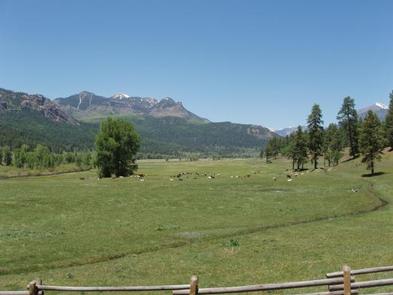
Nearby Attractions
Silver Falls is located a few miles up East Fork Road past the campground. A short trail leads to the base of the falls. Mountain bikers often ride to Silver Falls. Beyond its junction with Forest Road 684, the East Fork Road is negotiable only by 4WD. Off-road vehicle enthusiasts enjoy the upper section to Elwood Pass.
Treasure Falls, located just off Highway 160 about five miles from the campground, is an impressive 100′ waterfall with a short hike.