
Directions
From Eureka Springs, Arkansas, take Highway 62 West and travel 15.3 miles. Turn left on Indian Creek Road and follow to the park.
Phone
(479) 656-3145
Activities
CAMPING, HIKING, HUNTING
Keywords
None
Related Link(s)
Arkansas State Road Conditions
Overview
Indian Creek Campground sits along the vast shores of Beaver Lake in the Ozark Mountains of Northwest Arkansas, offering spacious and sunny campsites with an abundance of recreational activities.
Recreation
Fishing opportunities are plentiful near Indian Creek Campground. Beaver Lake has more than 28,000 surface acres of water, and anglers can try their luck at catching large and small-mouth bass, crappie, bream, white bass, stripers, and channel or spoon-bill catfish. Just below the dam, the chilly waters of the upper White River provide a perfect habitat for pole-bending rainbow and record-size German brown trout.
Several trails snake throughout the Ozark Mountains, offering peaceful hiking, biking and wildlife viewing opportunities for visitors.
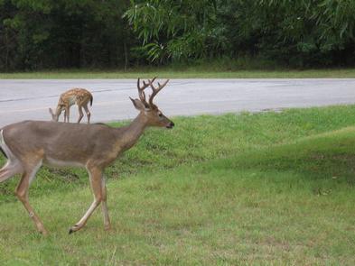
Hunters will find plentiful game in the hardwood and evergreen forests of northwest Arkansas. While Beaver Lake is conveniently located near several population centers, within a short driving distance, hunters can find remote areas filled with upland game such as deer, rabbits and squirrels.
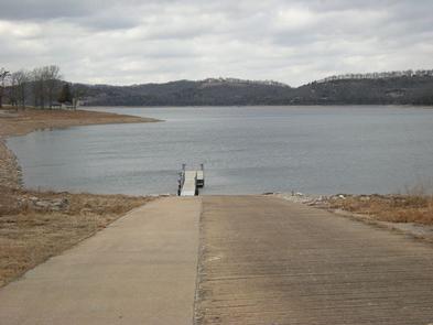
Many other sports and activities await campers, including boating, swimming, picnicking, scuba diving, water skiing, spelunking and sightseeing.
Facilities
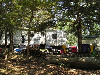
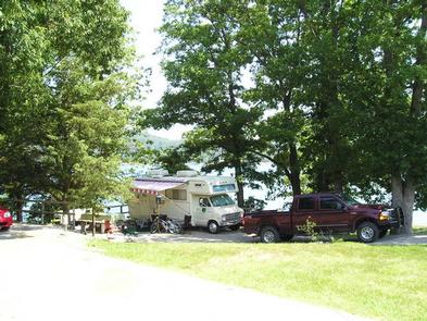
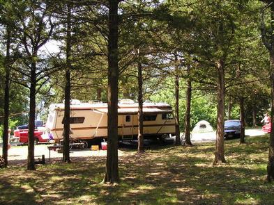
Indian Creek Campground has large campsites with plenty of shade and room for activities, just steps from the lake shore.
Fire rings, picnic areas, drinking water and flush toilets all make for a comfortable outdoors getaway.
Natural Features
Towering limestone bluffs, natural caves and a variety of trees and flowering shrubs surround Indian Creek Campground, making it an ideal retreat for outdoor enthusiasts.
Beaver Lake and Dam, completed in 1966, was constructed in the White River Basin and boasts 449 miles of beautiful shoreline at the top of the conservation pool.
Although the dam was originally built for flood control, hydroelectric power and public water supply, it has also created a popular recreational oasis.
Nearby Attractions
Several marinas are located around the lake, offering groceries, fuel, boat rentals and storage, fishing guides and camping supplies. Click here for more information.