

Directions
From Montrose, take Highway 50 east for about 20 miles. Turn right (south) onto County Road 858, which leads up the Big Cimarron Drainage for about 20 miles. Shortly after passing Silver Jack Reservoir on the right, Jackson Guard Station will be on the left.
From Gunnison, take Highway 50 west for roughly 43 miles. Turn left on County Road 858, which leads up the Big Cimarron Drainage for about 20 miles. Shortly after passing Silver Jack Reservoir on the right, Jackson Guard Station will be on the left.
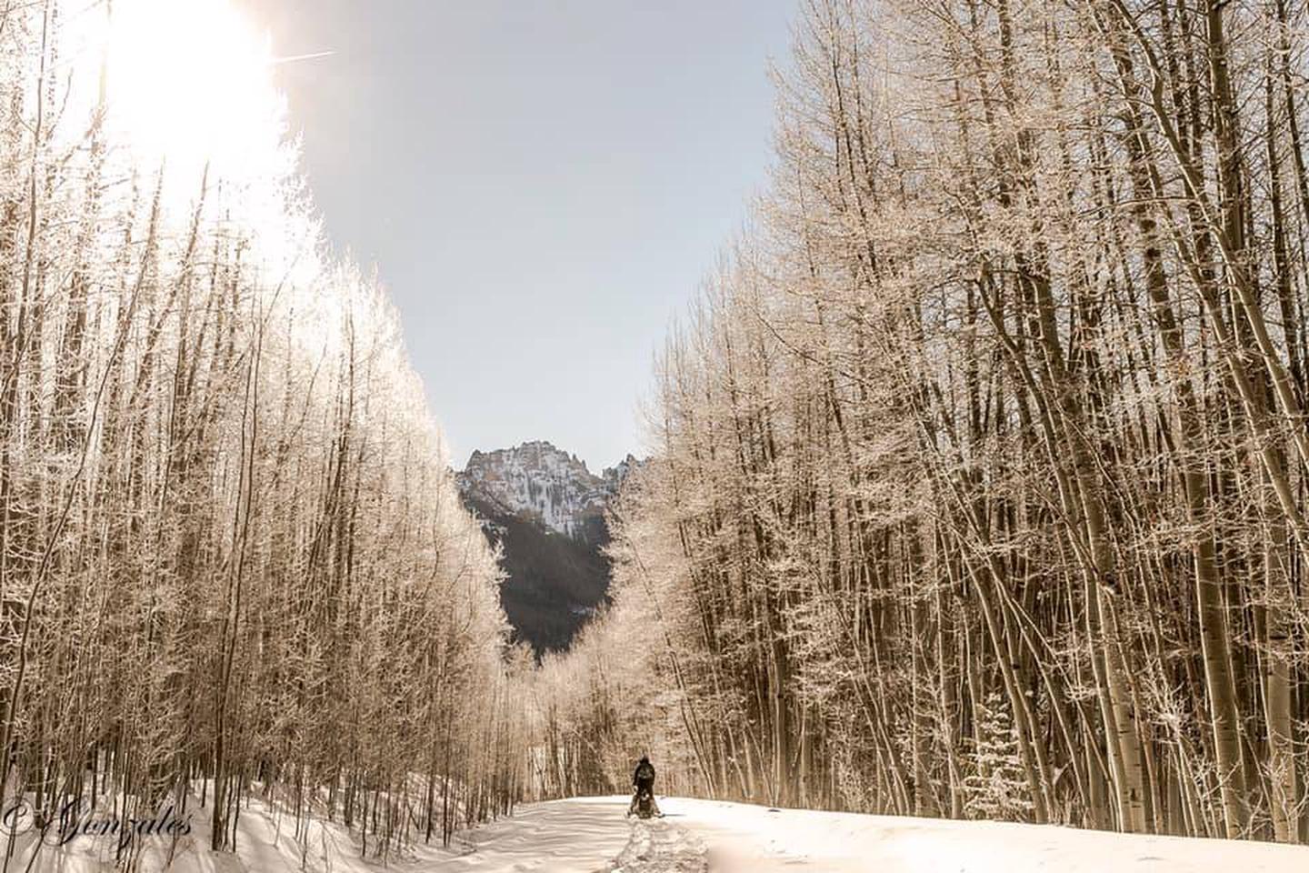
In winter, park in parking lot before the Forest Boundary and ski, snowshoe or snowmobile up the road for 3.5 miles.
Phone
(970) 240-5300
Activities
FISHING, HIKING, HUNTING, WILDLIFE VIEWING, PHOTOGRAPHY, OFF ROAD VEHICLE TRAILS, PADDLE BOATING, KAYAKING, CANOEING, STAR GAZING, NON-MOTORIZED BOATING, SNOWSHOEING
Keywords
Jackson Guard Station,Jackson Cabin
Related Link(s)
Colorado State Road Conditions
Overview
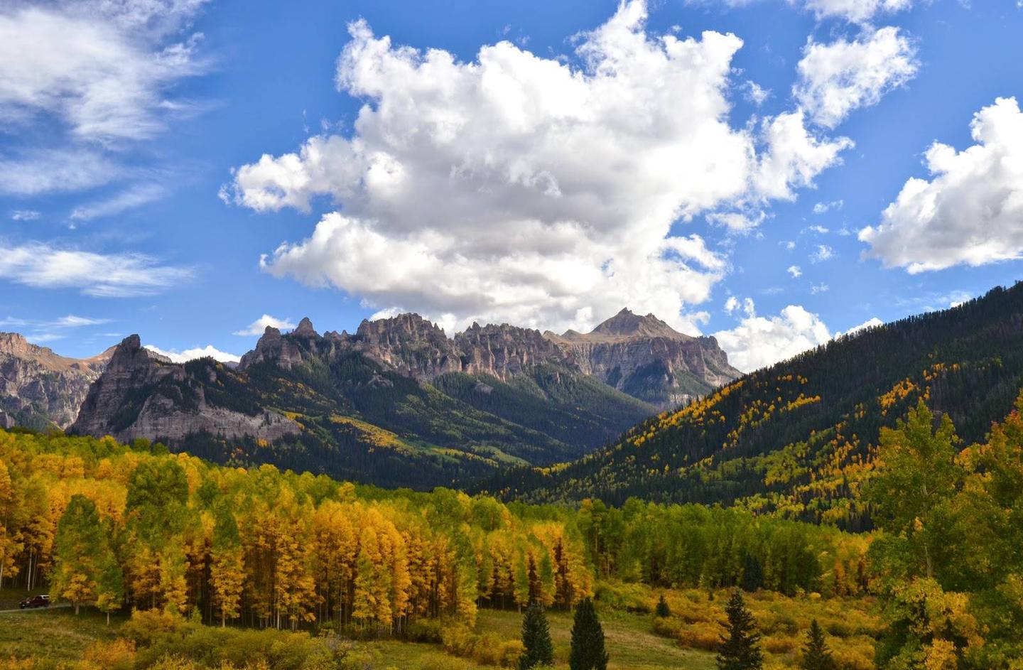
Jackson Guard Station is a great destination for anything from a weekend getaway to a week-long hunting trip. The cabin was originally used as a guard station that housed Forest Service work crews. The cabin’s access road is remarkably scenic, making for an impressive arrival.
In summer months, the cabin sets the stage for a wide array of activities. Recreation ranges from thrilling off-road vehicle riding to amazing scenery viewsing,hiking,and rewarding fishing.
Winter access is by snowmobile, cross country skiing or snowshoes,and fat bikes only along a 3.5-mile trail.
Recreation
Activities abound, with hiking, technical single track dirtbiking, ATV/OTV riding, snowshoing, cross country skiing. Hunting and fishing are popular in the area
Facilities
Visitors can expect a rustic cabin set back roughly 100 feet from the road, providing privacy and solitude. Amenities include wood stove. The kitchen includes cabinet space and some dishes are provided. The cabin has two bedrooms and four twin-size beds. A picnic table, campfire ring and vault toilet are located just outside the cabin.
No electricity or running water is available. Guests should bring drinking water, flashlights or lanterns, bedding, food, towels and toiletries.
In winter, kettles are provided to melt snow for water. A snow shovel and firewood is provided.
Natural Features
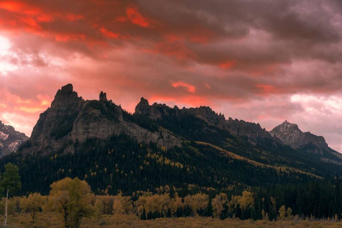
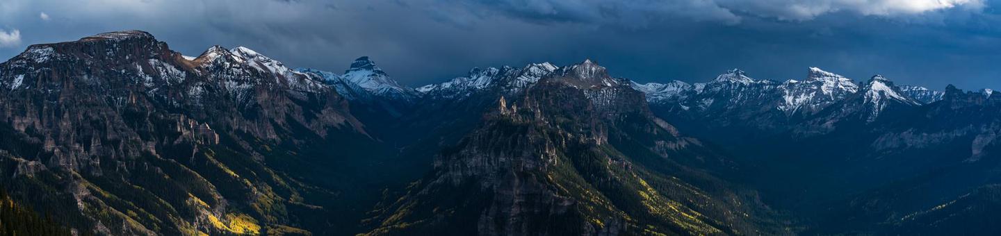
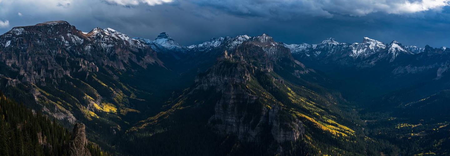
Situated near the southeast shores of Silver Jack Reservoir, Jackson Guard Station sits in a small aspen grove at 9,000 feet elevation. The cabin is at the base of High Mesa, near where the Cimarron River flows into the reservoir.
Nearby Attractions
Nearby attractions include the San Juan Mountains, Alpine Plateau, Uncompahgre Wilderness, Silver Jack Reservoir and Black Canyon of the Gunnison National Park.
The cabin is about an hour’s drive from Montrose or Ridgway, and an hour and a half from Gunnison.