
Directions
The closest address to the campground is 35899 Canfield Road, Palomar Mountain, California. The campground is about 2 miles north of this address along Canfield Road.
From Los Angeles, California, drive south on I-15 to State Highway 76. Go east on 76 for approximately 20 miles and turn left onto South Grade Road (County Road S6). Follow to the top of Palomar Mountain. Once at the top, turn left to continue on South Grade Road/Canfield Road. Continue for approximately 2.5 miles and turn right into the campground.
Phone
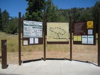
760-788-0250
Activities
CAMPING, HIKING, DAY USE AREA
Keywords
None
Related Link(s)
California State Road Conditions
Overview
Science buffs and families are drawn to Observatory Campground for its proximity to the Palomar Observatory, a world-class center of astronomy research operated by the California Institute of Technology. Just two miles from the observatory, the campground provides visitors with a unique learning experience in the great outdoors. The facility offers a variety of amenities for both tent and RV camping. Hiking, biking and picnicking can be found nearby.
Recreation
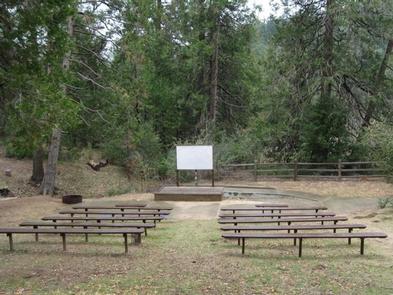
An exciting amateur astronomy project, Explore the Stars, occurs at the campground on several weekends each summer. A group of amateur astronomers from all across Southern California shares the beauty and awe of the night sky to more than a hundred non-astronomers at the campground. Visitors can also walk a 2.25-mile trail to the observatory itself.
Day hiking, biking, picnicking and scenic driving are available in the area. The campground makes a good base camp for visiting Palomar Mountain State Park and exploring the surrounding forest.
Facilities
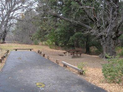
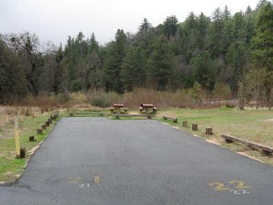
The campground is organized around one large loop with parking spurs for each campsite. Several sites are equipped with level cement pads to allow campers to set up their telescopes. The sites can accommodate vehicles up to 32 feet in length.
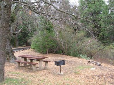
Drinking water, coin-operated showers (peak season only), grills, trash cans, campfire rings, picnic tables, a flush toilet (peak season only) and two vault toilets are provided.
Natural Features
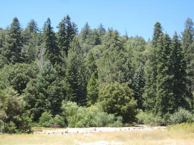
The campground sits at an elevation of 4,800 feet in the Palomar Mountains of Southern California. The site is forested with pine and oak trees, though several sites have been cleared to allow campers a wide view of the night sky.
Nearby Attractions
The campground is adjacent to Palomar Mountain State Park and under a two-hour drive from San Diego, California. A general store with basic necessities is down the road.