
Directions
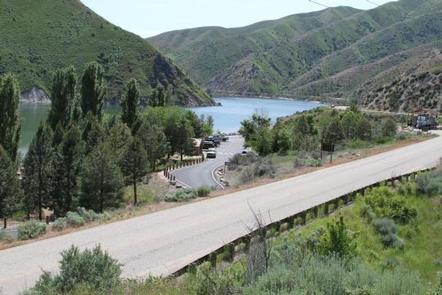
From Gowen Road (Exit 57) off I-84, head east toward South Federal Way. Continue to follow Highway 21 for 12.5 miles. Turn right on Arrow Rock Road immediately after the High Bridge crossing over the lake. Continue 4.5 miles on Arrow Rock Road to Macks Creek Park.
Phone
208-343-0671
Activities
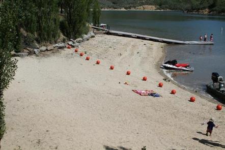
BOATING, CAMPING, FISHING, DAY USE AREA, SWIMMING SITE
Keywords
Lucky Peak Lake,Lucky Peak,Lucky Peak Lake and Dam,Lucky Peak Project,Macks Creek,Little Macks,Upper Macks,Mack Creek
Related Link(s)
Overview
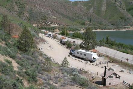
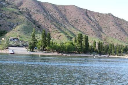
Macks Creek Park is a small day-use area and campground located on the Boise River Arm of Lucky Peak Lake, just 25 miles from the Boise area and 4 miles off the Ponderosa Pine Scenic Byway. Visitors make the trip to enjoy quality recreational activities like boating, swimming and fishing.
Recreation
The lake offers family-friendly outdoor recreation opportunities for both travelers and residents of the urban Boise area. Macks Creek Park offers scenic views and convenient access to lake recreation.
Anglers fish for rainbow trout, Kokanee and smallmouth bass. A boat ramp is located within the campground.
Facilities
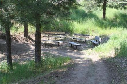
This primitive, small park offers a handful of campsites on the shore of Lucky Peak Lake. Clean vault restrooms, hand pumped drinking water and an emergency telephone are provided.
During the recreation season, volunteer camp hosts live on-site and can provide information and assistance to park users.
Parking availability is limited and there is no cell service at the lake. Two businesses within 10 miles offer limited food and services.
Natural Features
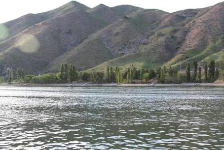
Lucky Peak Lake is located in the foothills of southwestern Idaho on the Boise River at an elevation of 3,055 feet. When full, the lake stretches 12 miles up-river, with 45 miles of shoreline and over 3,000 surface acres of water.
The campground is situated among shady trees along the lakeshore. The surrounding mountains are consistent with sagebrush steppe, dotted with sagebrush and bitterbrush.
A variety of wildlife lives around Lucky Peak, including bald and golden eagles, mule deer, antelope, red-tailed hawks, California quail and chukar.
Nearby Attractions
Arrowrock Reservoir, operated by the Bureau of Reclamation, is nearby, as is the beautiful Boise National Forest. These areas provide additional camping, boating, fishing, hiking and sightseeing opportunities.