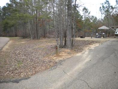
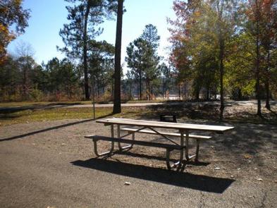
BEAVER DAM CAMPGROUND, LA Campground Reservation, Info, Images, Map, Directions

BEAVER DAM CAMPGROUND, Louisiana Campground Images, Info & Reservations

Directions

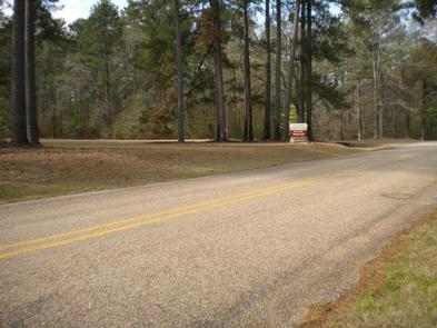
From Minden, take Louisiana 159 north to Caney Lake Road (Webster Parish Road 111) . Turn left on Caney lake Road, continue 2 miles to recreation area entrance.

Phone

318-927-2061

Activities

BIKING, CAMPING, FISHING, HIKING

Keywords

CANEY LAKES RECREATION AREA,KISATCHIE NATIONAL FOREST,Beaver Dam,Caney Lakes

Related Link(s)

Rec Area Info & Images

Louisiana State Tourism

Louisiana State Road Conditions

Overview

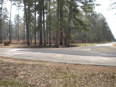
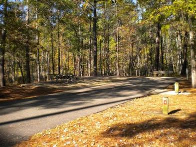
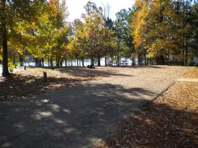
Beaver Dam Campground is situated on the shores of Upper Caney Lake in the Caney Lakes Recreation Complex. The campground is located in a beautiful setting among woods, lakes and hills. Swimming, boating, fishing and water skiing are the top activities.

Sugar Cane National Recreation Trail passes right next to the campground and offers varied terrain for hikers and bikers. The Sugar Cane trail was named for the crop that was once cultivated here, in addition to cotton.

Recreation

Bass, crappie, catfish, bluegill and sandbass can be caught in the lakes. The Sugar Cane Trail spans 5.7 miles and the Lost Man Loop spans 2 miles. Both are open to hiking and mountain biking.

Facilities

Campsites come with electric and water hookups. The group picnic area accommodates up to 200 guests while each campsite fits up to eight campers. A sanitary dump station, drinking water and flush toilets are provided.

Natural Features

Beaver Dam sits at an elevation of 160 feet along the north shores of the 125-acre Upper Caney Lake. The group picnic area is near Lower Caney Lake, spanning 250 acres.

Kisatchie National Forest, the only national forest in Louisiana, spans 604,000 acres and mostly consists of bayous with bald cypress groves and old growth pine.

Nearby Attractions

The city of Minden has restaurants, shopping and golfing.

Reservation

More from CampingHiking.net:

RIPPLEBROOK, Oregon Campground Images, Info & Reservations

Directions From Estacada, travel east on Highway 224 for 26 miles to the campground, which is just past the Ripplebrook Camp Store. Phone 503-630-5721 Activities CAMPING, FISHING, WATER SPORTS Keywords RIPP,MT. HOOD NF – FS Related Link(s) Rec Area Info & Images Oregon State Tourism Forest Service Concessionaire Oregon State

STARRIGAVAN CAMPSITES, Alaska Campground Images, Info & Reservations

Directions Starrigavan Recreation Area is located 7 miles northeast of Sitka at the end of Halibut Point Road and 3/4 mile from the local Alaska Marine Highway Ferry Terminal. There are no roads to Sitka. Access is via the Alaska Marine Highway or Alaska Airlines. Upon exiting the Ferry Terminal

COTTONSHED PARK (AR), Arkansas Campground Images, Info & Reservations

Directions Approximately 5 miles south of Mineral Springs on Highway 355, turn right / west onto Bright Star Road travel approximately 3 miles, turn left / south onto Cottonshed Lane. OR North on Hwy 355 approximately 5 miles, turn left / west onto Bright Star Road travel approximately 3 miles,

BIG ELK, Idaho Campground Images, Info & Reservations

Directions From Idaho Falls, Idaho, travel approximately 56 miles on Highway 26 to Palisades Dam. Once at the dam, continue 6 miles east on Highway 26, then turn left onto Forest Road 262 (Big Elk Creek Road) and travel 2 miles to the campground. Phone (208) 270-0150 OR 541-351-1182 Activities

CRESCENT, Georgia Campground Images, Info & Reservations

Directions From Hartwell, Georgia, take Hwy 29 north for approximately 8 miles (you will cross into South Carolina). Turn left onto Ginn Road. Take the first left onto Campers Way and continue straight to the campground. From Anderson SC, take Hwy 29 South from Anderson, heading south towards Hartwell, Georgia,