Directions
Located 51 miles east of Eugene, OR. Follow Hwy 126 to the east, take a left turn on Forest Road 15 at Blue River Reservoir turn off. Follow Blue River Reservoir RD approximately 4 miles, take left turn across bridge to access campground. The campground entrance is on the left.
Phone
801-226-3564
Activities
FISHING, PICNICKING, CANOEING
Keywords
Mona,Mona Campground
Related Link(s)
Overview
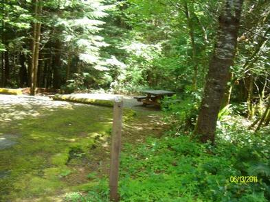
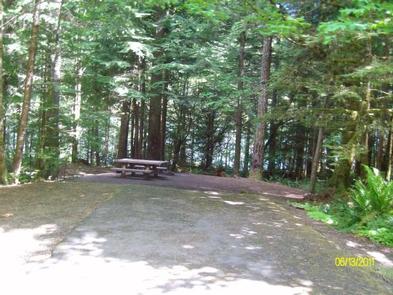
Known for fishing, boating, canoeing and other water sports, Mona campground is located on the northwest shore of Blue River Reservoir. The campground is situated on a long, narrow strip of mixed conifers along the shore, the thick vegetation secludes each campsite, allowing for privacy. Slopes of mixed conifers and other trees surround the area.
Reservations are available May through mid-September. They can be made up to six months in advance, but must be made at least four days prior to your intended arrival date.
Recreation
Fishing, boating, swimming, and water skiing on Blue River Reservoir draw campers here. There is hiking on Buck Mountain Trail and Lookout Creek Old Growth Trail. Sightseeing is popular on the West Cascades National Scenic Byway.
Facilities
Mona Campground is popular for water play and fishing on Blue River Reservoir. There are 20 single and two double sites with tables and fire rings. Drinking water, vault toilets, and firewood for sale are provided. There is a host onsite. The campground road and parking spurs are paved, with mostly flat sites that accommodate either tents or trailers/RVs.
Natural Features
The campground sits on the northeastern shore of Blue River Reservoir and can be accessed by driving the West Cascades National Scenic Byway. It is located in the Willamette National Forest on the western slopes of the Cascade Mountains.
Nearby Attractions
Come for water play or fishing at Blue River Reservoir or for exploring the nearby trails and Scenic Byway.


