
Directions
From Interstate 495: Take Exit 3 to MD 210 South (Indian Head Highway South). Travel approximately 4 miles to Fort Washington Road. Turn right on to Fort Washington Road and continue to park entrance. From Waldorf, MD: Take MD 228 to MD 210 North (Indian Head Highway North). Turn left at Old Fort Road S, travel to end of road. Turn right onto Fort Washington Road and continue to park entrance.
Phone
301-763-4600
Activities
HISTORIC & CULTURAL SITE, CAMPING, FISHING, HIKING, VISITOR CENTER
Keywords
Fort Washington
Related Link(s)
Maryland State Road Conditions
Overview
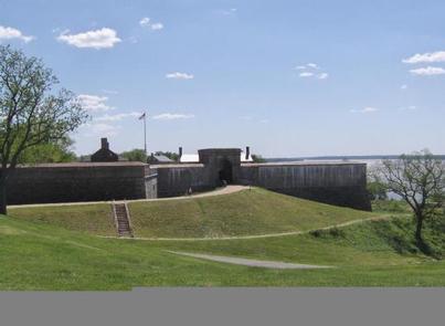
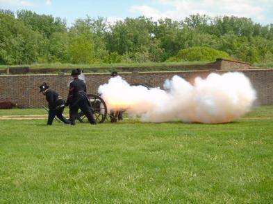
Fort Washington is located 15 miles south of Washington, D.C., along the Potomac River. Part of the National Park Service, it is a local favorite for picnicking, recreation and historic interest. Built to defend the nation’s capital in 1824, the 19th century masonry fort is the oldest and best preserved in the area. Rich in history, green space, and beautiful river vistas, Fort Washington Park is a treasure trove of historic and recreational opportunities.
Recreation
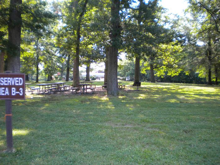
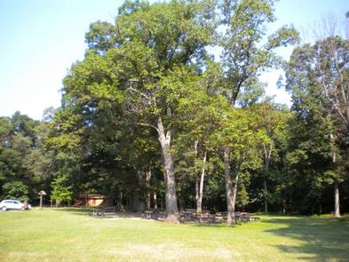
There are several large fields making it an ideal place for large parties and family gatherings. Different types of trails are available for bicycles and river path hiking. The playground is located in the "B" picnic area; the basketball court is located near the "C" picnic area. Both are open during regular park hours year round. The playground and basketball court areas are not exclusive to the permitee, but open to all visitors of the park.
Facilities
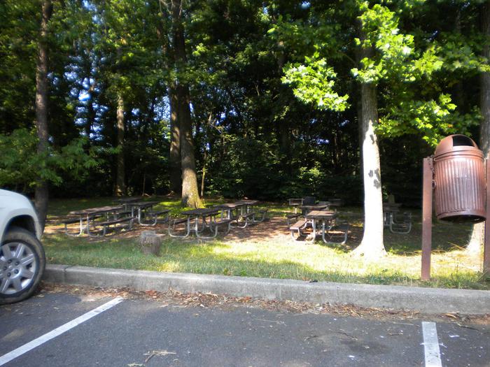
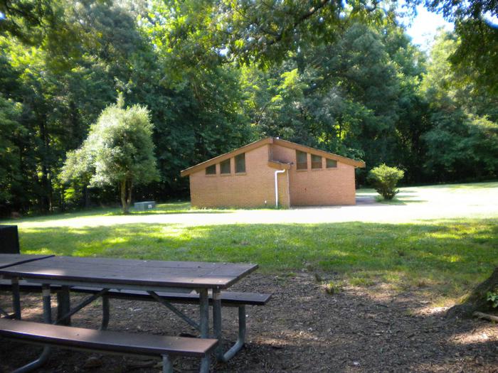
Fort Washington has eight picnic areas available, ranging in capacity from 35-150 people per site, with restrooms, picnic tables, and barbeque grills. The Visitor Center and Historic Fort are open year round. Park Rangers are on site to provide park information and historic talks and walks.
Natural Features
Fort Washington Park is located off Maryland Highway 210 four miles South of the National Harbor along the Potomac River in the quaint, quiet Fort Washington neighborhood. Abundant with trees, wild life, shore line and 341 acres of green space Fort Washington Park is great for fishing, birding and hiking.
Nearby Attractions
Fort Washington Park is located just minutes from Oxon Cove Park, Piscataway Park, National Colonial Farm and the National Harbor. Downtown Washington, D.C. and interstate access are less than 10 miles from Fort Washington Park.