

Directions
From the Los Angeles basin side of the San Gabriel Mountains: drive to La Canada via the I-210 (Foothill Freeway) to the State Highway 2 (Angeles Crest Highway) exit. Turn north towards the mountains. Stay on State Highway 2 for 25.6 miles to the lower Chilao Road (Forest Service Road 3N21); turn left onto lower Chilao Road. Proceed west 1.5 miles to the entrance gate on your left. Use the combination you obtained when confirming your reservation to open the gate.
Phone
661-269-2808
Activities
BIKING, CAMPING, INTERPRETIVE PROGRAMS, HIKING, WILDLIFE VIEWING, BIRDING
Keywords
Angeles NFFS,Chilao Meadow,Meadow Loop,Meadow,Meadow Group Campground
Related Link(s)
California State Road Conditions
Overview
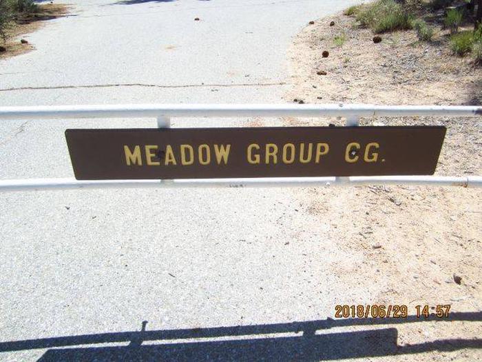
Meadow Group Campground is located off State Highway 2 between the Manzanita Loop of the Chilao Campground and the Chilao Ranger Station, 26 miles north of the 210 Freeway in La Canada, California.
The campground offers access to a wide variety of recreational activities within the beautiful Angeles National Forest.
Recreation
This campground is 1.5 miles from the San Gabriel Wilderness- where hiking and equestrian use is permitted. In addition, there are also hiking, biking and equestrian trails nearby. The Chilao Visitor Center is located 1.5 miles east of the campground. It offers exhibits and information about the area, campfire programs and excellent bird watching opportunities, including ten species of woodpeckers.
Facilities
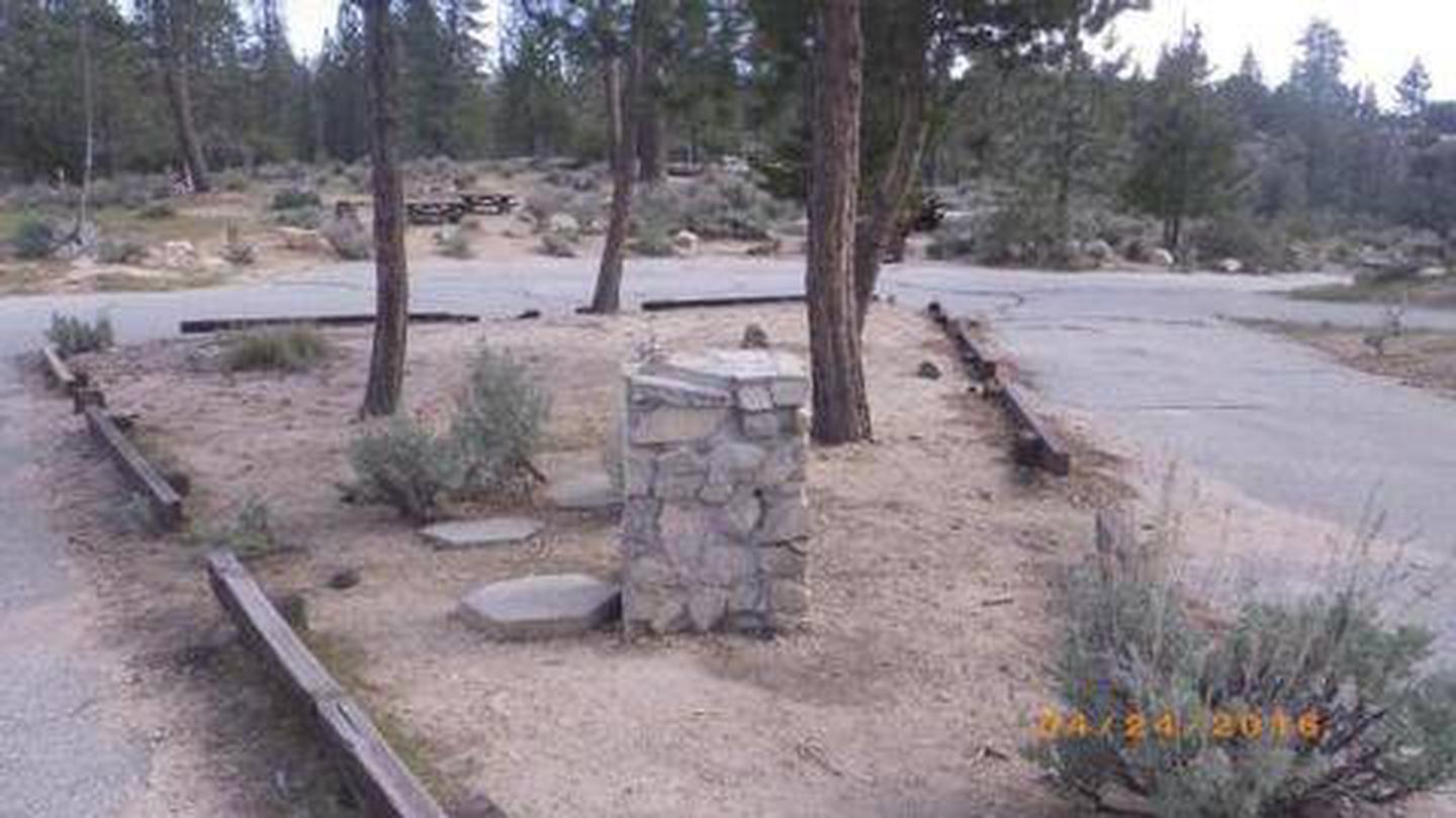
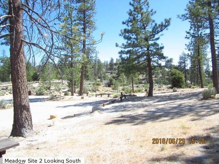
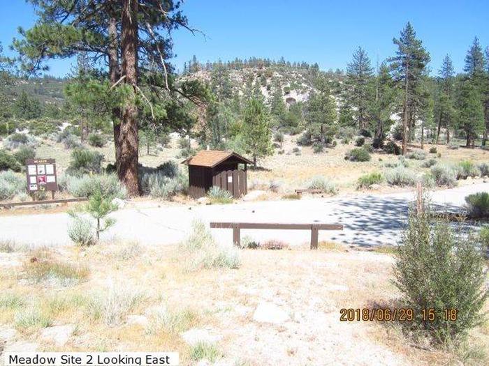
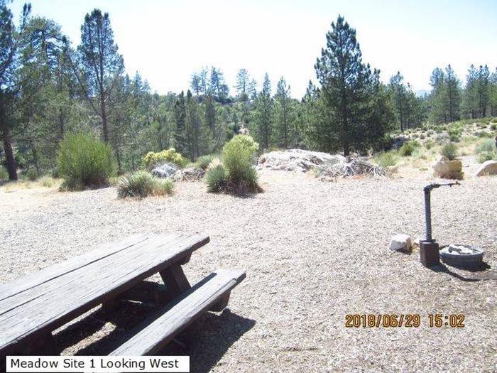
The campground will accommodate two groups. Area 1 accommodates up to 24 people and has three picnic tables and fire rings, one water spigot, and an animal resistant dumpster. Area 2 can accommodate up to 80 people and has ten picnic tables and fire rings, two water spigots, a water fountain, and an animal resistant dumpster. Flush toilets are available, but are shared by both groups.
Natural Features
The Meadow Group Campground is located within the San Gabriel Mountains National Monument, which is bordered by the Los Angeles Basin on the south, the San Gabriel Wilderness Area on the east, the San Gabriel Mountains on the north, and the junction of Interstate 5 and Highway 14 on the west. The campground is at an elevation of 5,300 feet amid Coulter pines, scrub oaks and grasslands. Visitors might see birds and squirrels along the nature trails, and the area is particularly known for its variety of woodpeckers.
Nearby Attractions
State Route 2, the Angeles Crest Scenic Byway, is a National Forest Scenic Highway. The highway, as it winds along the San Gabriel Mountains, offers spectacular views of nearby peaks and valleys.
Several vista points along the road offer the traveler expansive views of the Mojave Desert, the San Gabriel Mountains, and the San Gabriel and Pomona Valleys.