
Directions
From US-75, take the Melvern Exit and travel 2 miles south on Melvern Lake Parkway, then 1 mile northwest on Coeur d’Alene Parkway (campground road).
Phone
785-549-3318
Activities
BOATING, CAMPING, HIKING, SWIMMING SITE
Keywords
COEU,MELVERN LAKE,MELVERN PROJECT,MELVERN SATE LK CDA OVERLOOK,COEUR D’ALENE PICNIC AREA,MELVERN STATE LK CDA OVERLOOK,MELVERN LAKE STATE PARK,OVERLOOK,COEUR d ALENE,MELVERN LAKE
Related Link(s)
Overview
Coeur d’Alene Campground is situated on Melvern Lake on the eastern edge of the Flint Hills of Kansas. Visitors come for the area’s wide range of recreational activities, including boating, fishing, hiking and hunting. Find a virtual tour of Melvern Lake at http://www.photographyoptions.net/images/melvern/tour.html
Recreation
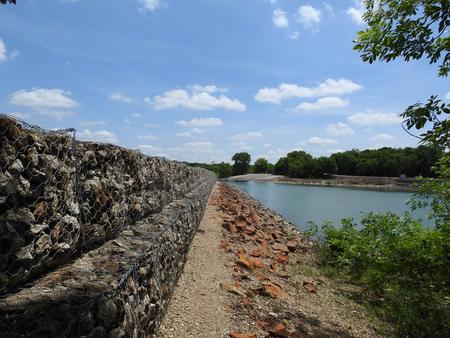
Melvern Lake impounds nearly 7,000 acres of water on the upper reaches of the Marais des Cygnes River Valley. Boating and swimming are popular activities on the lake. Anglers fish for walleye, crappie, channel and flathead catfish, black bass, white bass, striped and smallmouth bass. The 18,000 acres of land surrounding Melvern Lake provide plentiful hiking and hunting opportunities. The two trails that join the campground are the Breakwater Trail and the 4 mile Tall Grass Heritage Trail which connects Coeur d’ Alene Campground to Arrow Rock Campground. Hunters may find deer, quail, turkeys, ducks, rabbits and squirrels throughout the area.
Facilities
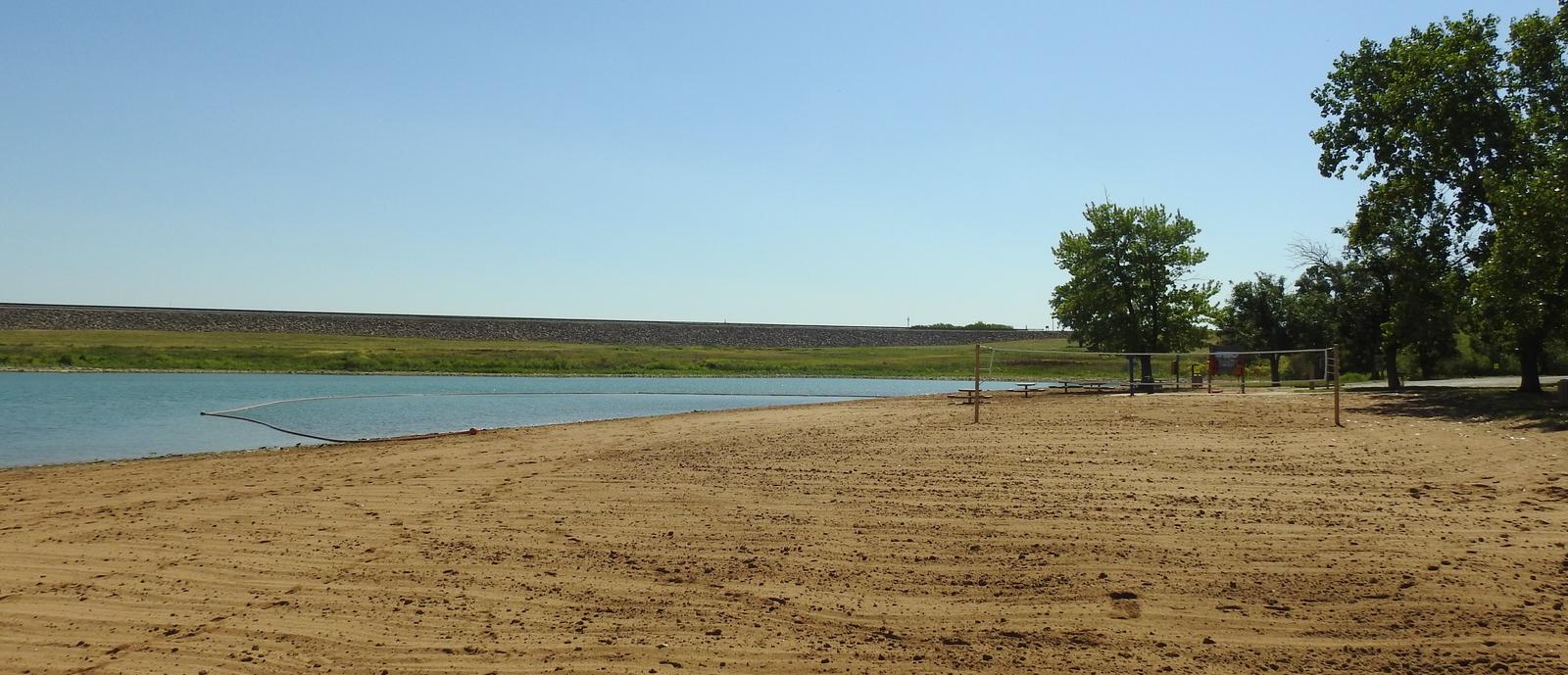
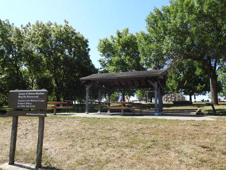
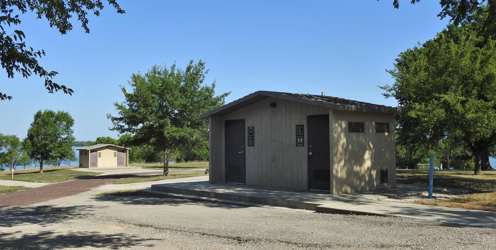
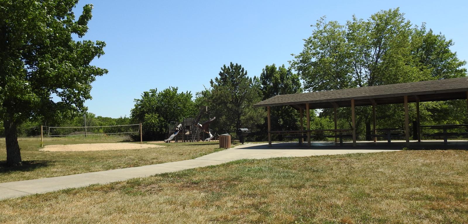
The campground offers 56 campsites, 34 of which have electric hookups. Site 1 is an accessible site with 50-amp electric, water and sewer hookups. Sites 2-8 have electric with water hookups. Two group day-use picnic shelters with electric hookups are available as well. Several family picnic sites can be used on a first come, first served basis. Amenities include flush and vault toilets, showers, drinking water and a dump station. A boat ramp, dock, marina and fish cleaning station are located on-site, as are an overlook, two nature trails, three playgrounds and a swim beach. Click Here for a Virtual Tour (http://www.photographyoptions.net/images/melvern/tour.html)
Natural Features
The Flint Hills represent America’s last expanse of intact tallgrass prairie, made up mainly of big bluestem, switchgrass and Indian grass. The rolling hills on the south side of the lake are somewhat wooded, but trees and shade are sparse within the campground.