


Directions
From Interstate 80, take Exit 1 for Highway 84, East Moline/Savanna. Travel South on Highway 84 S/2nd Ave and follow for 1.5 miles to the campground. Entrance to campground will be on the right. From East Moline, travel North on Highway 84. Entrance to campground will be on the left.
Phone
THOMSON RANGER OFFICE: 815-259-3628 OR FISHERMAN’S CORNER FEE BOOTH: 309-496-2720
Activities
BIKING, CAMPING, INTERPRETIVE PROGRAMS, FISHING, HIKING, PICNICKING, DAY USE AREA
Keywords
FICO,FISHERMAN S CORNER,MISSISSIPPI RV. RI
Related Link(s)
Overview
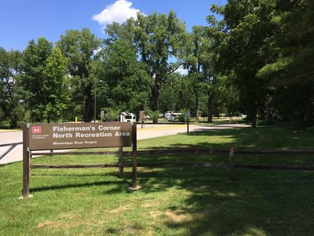
With impressive views of the mighty Mississippi River, Fishermans Corner provides convenient RV and tent camping facilities for outdoor enthusiasts. The lush river landscape provides plenty of shade, and activities from water sports to hiking to wildlife viewing. Eagle watching is particularly popular during the winter months at Fishermans Corner.
Recreation
Although there is no river access from within the campground, the Fishermans Corner Day Use facility is a short walk away and offers numerous fishing areas as well as a canoe ramp. Visitors can also catch a weekly educational program at the amphitheater located within the campground.
The Central Trail section of the famous Mississippi River Trail passes directly in front of the campground, offering visitors miles of walking and biking trails along the river bank. The expansive Elton E. Fawks Bald Eagle Refuge and Nature Preserve and the Illiniwek Forest Preserve are also located just minutes away.
Facilities
Of the 51 reservable campsites, 46 campsites have electric hookups and 5 campsites do not have electric hookups and are for tents only.
Fisherman’s Corner provides the comforts of modern camping, including drinking water, a shower house, electric hook-ups, flush toilets, while still providing visitors with an authentic outdoor experience.
Natural Features
Fishermans Corner offers an excellent view of a small aquatic marsh near Locks and Dam 14, which is home to an array of wildlife species. On any given morning visitors may see turtles sunning on rocks near the river bed or countless bird species hunting the shallow waters for food.
The scenery during camping season never disappoints, whether it’s the vivid greenery during the spring or the breathtaking medley of colors during the fall.
Nearby Attractions
The John Deere Pavilion, an interactive museum spanning almost 200 years of the famous American agricultural company’s history is located a convenient 20-minutes away by car. For a more exotic experience, the Botanical Center located in Rock Island, features an array of colorful plant species located in both indoor and outdoor gardens.