
Directions
From Hannibal – Hwy 36 west 17 miles to Hwy J, south 9 miles.
From Monroe City – Hwy 36 east 3 miles to Hwy J, south 9 miles.
From Paris – Hwy 154 east 20 miles to Hwy J (Perry), north 10 miles.
From Perry – Hwy J north 10 miles.
Phone
573-735-4097
Activities
CAMPING, FISHING, DAY USE AREA
Keywords
FRAR,CLARENCE CANNON DAM,MARK TWAIN LAKE,RUSSELLS,MARK TWAIN LAKE,frank russel
Related Link(s)
Missouri State Road Conditions
Overview
Frank Russell Campground, set near the picturesque Mark Twain Lake, has a location near the dam, providing campers with easy access to the lake, river and surrounding attractions. The campground also features an amphitheater with weekly events in the summer.
The lake’s namesake and legendary author and humorist, Mark Twain, was born in a town beside the lake.
Recreation
The 32-mile long Joanna Trail is accessible from the campground. Here, horseback riders, mountain bikers and hikers can enjoy the rough and varied terrain that meanders along the northern banks of the lake, across bluffs and over hills.
Campfire programs are provided every Saturday from Memorial Day to Labor Day.
Facilities
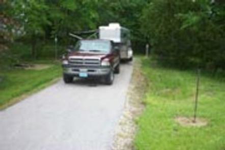
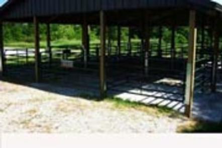
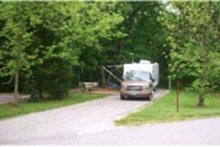
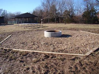
Adjacent to the campground, equestrian campers can make use of the shaded horse stalls. Campsites are equipped with electric hookups, paved parking, grills and picnic tables. Other amenities include showers, playgrounds and vault toilets.
Natural Features
Mark Twain Lake is sourced by the Salt River in northeast Missouri. The Clarence Cannon Dam sits on the eastern edge of the lake, providing flood control and hydroelectricity to the region.
Nearby Attractions
While here, many visitors tour the birthplace of world-famous humorist and author, Mark Twain, in Florida, Missouri.
The David C. Berti Shooting Range is below the dam and the M.W. Boudreaux Visitor Center is located on the south end of the Dam.