Directions
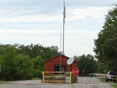
From Hugo, OK, take Highway 70 east for 5 miles and follow the posted signs to the campground.
Phone
580-326-9650
Activities
BOATING, CAMPING, FISHING, HIKING, HUNTING, VISITOR CENTER, WATER SPORTS, WILDLIFE VIEWING, SWIMMING SITE
Keywords
KIAM,HUGO LAKE,HUGO LAKE
Related Link(s)
Oklahoma State Road Conditions
Overview
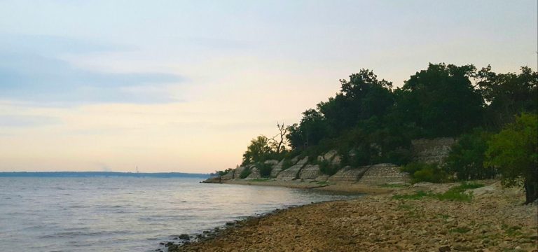
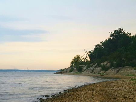
Kiamichi Park Campground is a large, grassy campground in a forested expanse of southeast Oklahoma. The camp is perched along the banks of Hugo Lake, providing guests with plenty of recreational opportunities.
Recreation
There are always fish to be caught at Hugo Lake. From early sand bass and slab crappie to late season fall bass, anglers will always find opportunities. Hugo Lake also provides excellent catfishing during the summer. The lake area offers plenty of hunting opportunities, with over 25,000 acres of land available. Bow hunting is permitted in and around most of the park areas. Kiamichi Park features an archery practice range and a 3,000-acre Quality Deer Management Area. Wildlife around the lake includes waterfowl, bobwhite quail, dove, whitetail deer, mink, fox and beaver. This large park and it’s miles of paved roads are ideal for biking, jogging, hiking, and sight-seeing. There are also wooded trails for exploring and horseback riding. Equestrian trail riding is accessible from Bobcat Road or Raccoon Road. Equestrian camping is available on Raccoon Road, which offers nine horse stalls.
Facilities
Kiamichi Park Campground features 85 spacious, modern campsites, along with two large group picnic shelters. A playground and swimming beach make the campground perfect for large parties, youth trips or family functions.
Natural Features
Hugo Lake dam is located on the Kiamichi River, 18 river miles upstream from its confluence with the Red River. The dam, completed in 1974, provides flood control, water supply and fish and wildlife management for nearby communities. It also provides a recreational oasis for outdoor enthusiasts of all types.
Nearby Attractions
A number of historical attractions are located near Hugo Lake, including Native American cultural centers, Civil War headquarters, historic churches and schools. Visit the lake website for more information.
Charges & Cancellations
A $10.00 service fee will aplly if you change or cancel your reservation. Late cancellations are subjet to additional fees. For full details see Recreation1Stop Reservation Policy.


