
Directions
Take Highway 101 to the town of Healdsburg and exit on Dry Creek Road. Travel west another 11 miles to the park boundary. Continue west another 4 miles, following the park road signs to reach the Liberty Glen Campground at the top of the ridge line.
Phone
707-431-4533
Activities
BIKING, CAMPING, HIKING
Keywords
LGLE,LAKE SONOMA,LAKE SONOMA
Related Link(s)
California State Road Conditions
Overview
Liberty Glen Campground is located at the top of Rockpile Road overlooking Lake Sonoma. A short 45-minute drive north of Santa Rosa and a two-hour drive from San Francisco. World famous vineyards and a rich history surround the lake, where visitors enjoy boating, fishing and exploring the area’s extensive trail network.
Recreation
Lake Sonoma offers a wide variety of recreational activities such as, Archery Range, Air Rifle Range, Disc Golf, Outdoor Gym, Dog Park as well as other nearby activities. The lake provides great boating and swimming opportunities. Anglers fish for large and smallmouth bass, catfish and sunfish. A small native population of rainbow trout exists in the waters as well. Hikers, mountain bikers and horseback riders enjoy exploring several miles of trails in the Liberty Glen area, including the Serpentine, Rancheria and Cove Trails.
Facilities
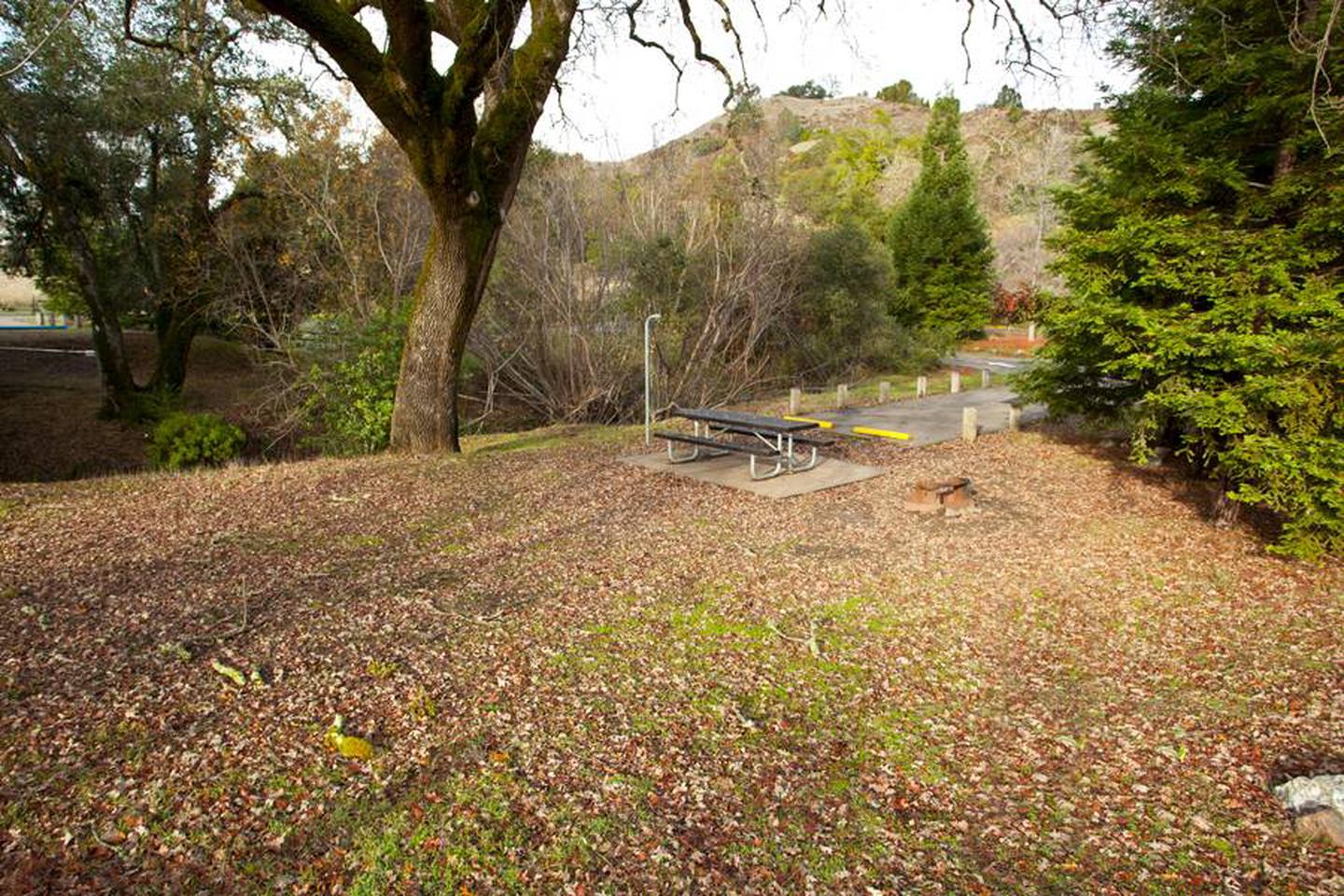
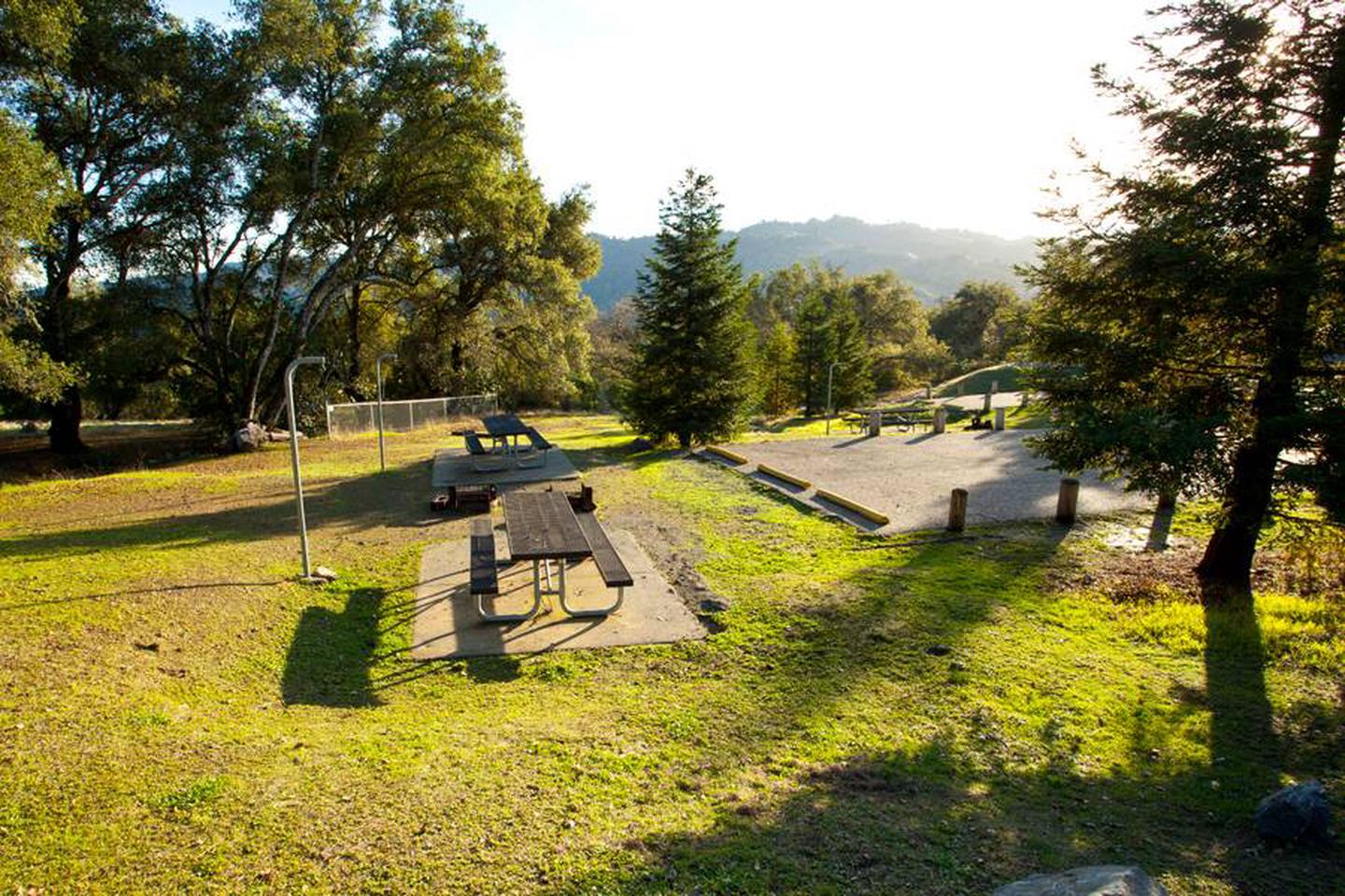
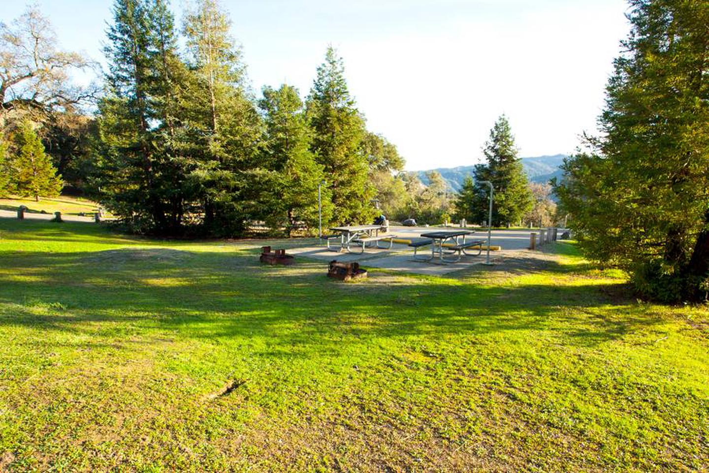
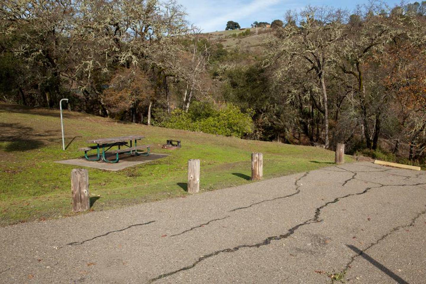
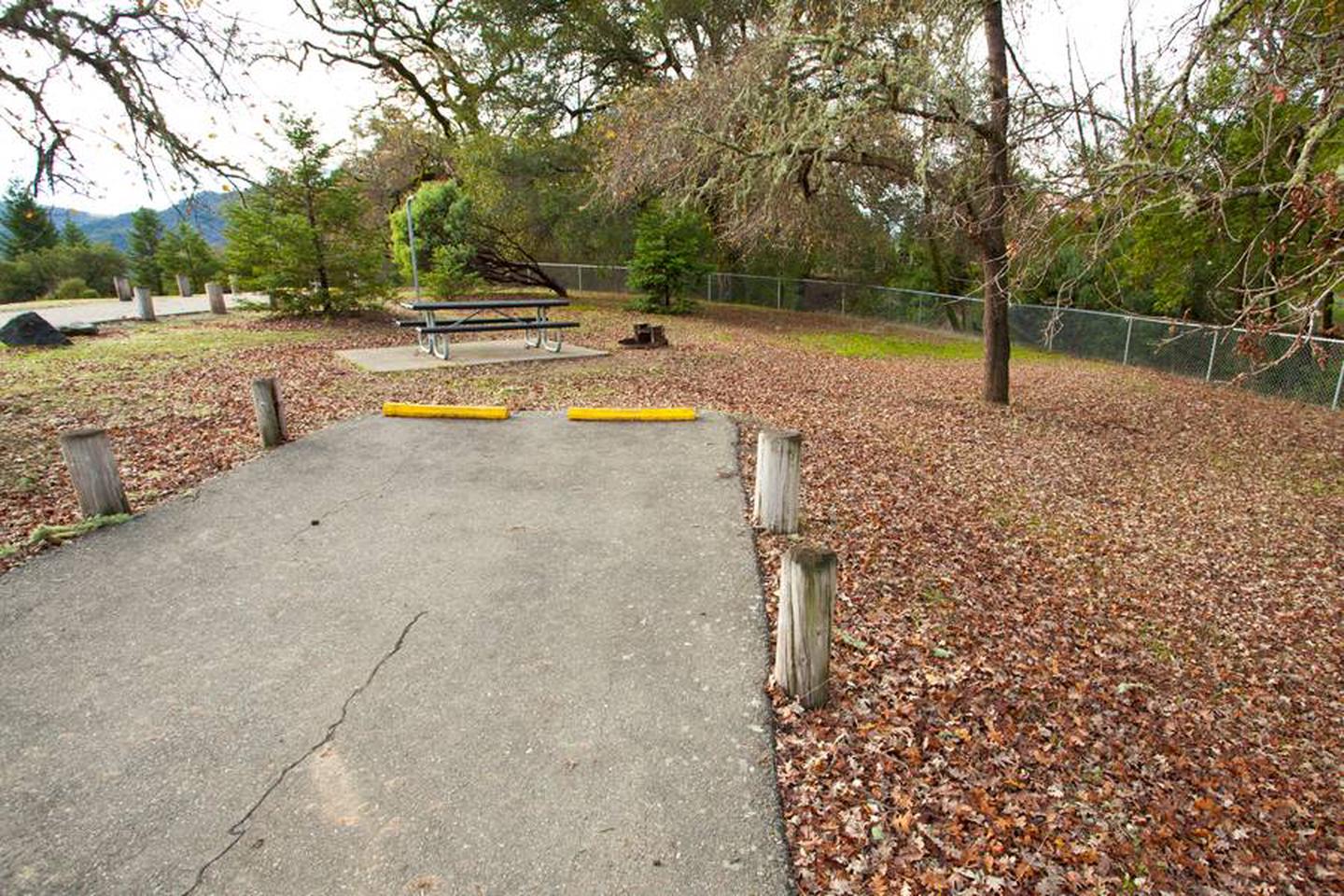
This large campground contains single and double sites, as well as one cabin site and two accessible group sites. Flush toilets, drinking water and showers are provided. We also have a playground on-site and trails begin within the campground.
Natural Features
Lake Sonoma is nestled in the beautiful coastal foothills of Sonoma County, California. Liberty Glen is situated on a ridge above the Warm Springs Arm of the lake. The campground offers scenic views of the lake, and the shoreline can be accessed from the site with a strenuous one mile hike.