
Directions
The main route to the park is via Interstate 94 to Valley City exit 292. Follow the signs through Valley City and turn left onto County Road 19. Travel for 10 miles.
Phone
701-845-2970
Activities
CAMPING, FISHING, HIKING, PICNICKING, SWIMMING SITE
Keywords
MELR,MAIN USE AREA,MRRA,LAKE ASHTABULA
Related Link(s)
North Dakota State Road Conditions
Overview
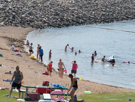
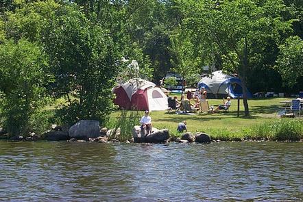
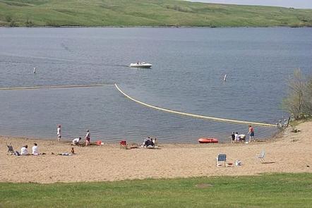
The Mel Rieman Campground and Recreation Area is a 70-acre facility on the shoreline of Lake Ashtabula in eastern North Dakota. The campground is known for its spectacular sunset views. It is close to the Baldhill Dam and within walking distance of the Mel Rieman day-use area, where visitors can swim, fish and picnic.
Lake Ashtabula was created by the construction of the Baldhill Dam on the Sheyenne River in 1944, and is situated in one of the most scenic river valleys in the region. Visitors can choose from a wide range of recreation opportunities year-round, including ice fishing and cross-country skiing during winter months.
Recreation
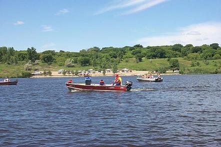
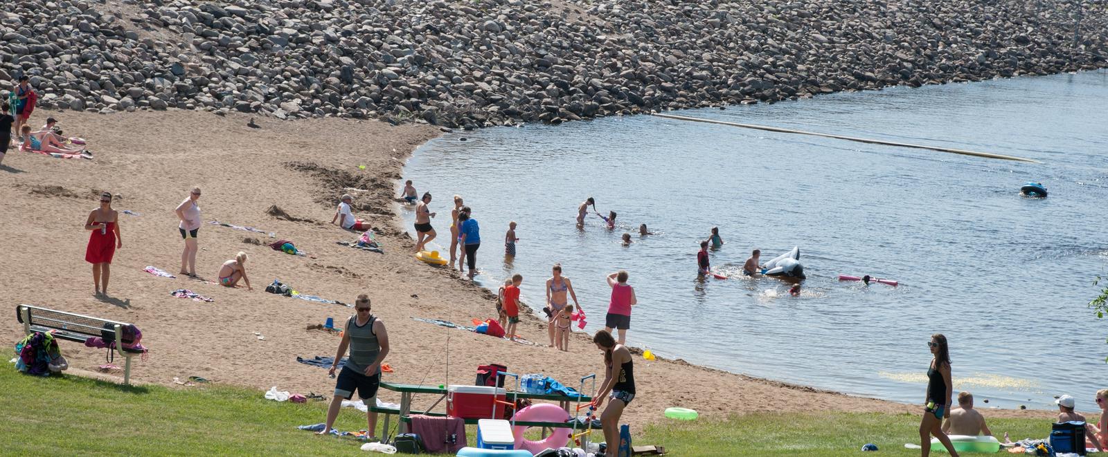
There is no shortage of recreation opportunities and outdoor fun in and around the lake. The day-use area is adjacent to the campground and has a visitor center, playgrounds, picnic facilities, concessions, fishing spots and a boat ramp.
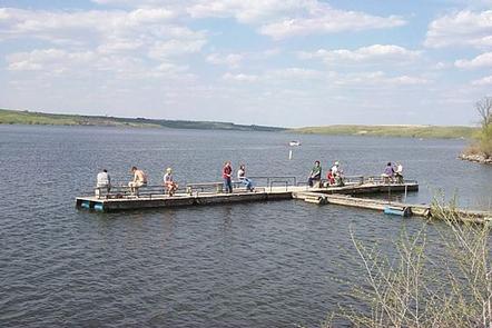
The name “Ashtabula” is a Native American word meaning “Fish River,” which suits the lake’s fish population; popular species include walleye, northern pike, white bass, yellow perch and black bullhead. With seven boat ramps, two accessible fishing piers and four automated fish cleaning stations, the lake is very convenient for anglers.
Nearly 3,000 acres of land around the lake is managed as wildlife habitat by the Corps of Engineers and open to the public for wildlife viewing, birding, hiking and hunting. Hunters and anglers should contact the North Dakota Game and Fish Department for seasons, restrictions and licenses; fishing licenses and bait may be purchased from concessionaires around the lake.
Campers can also reach the 63-mile Sheyenne River Valley National Scenic Byway and access nearly 35 miles of the North Country National Scenic Trail within a short drive.
Facilities
Mel Rieman Campground has 27 campsites, 15 of which offer electric hookups. The facility also provides drinking water, showers and flush toilets. The nearest town is Valley City, 10 miles away.
Natural Features
The lake area lies amidst the ‘prairie potholes’ region of glacially-carved lakes in North Dakota. Bountiful migratory water birds flock to Lake Ashtabula, including the unique white pelican, which can be seen in large quantities during summer. The region also provides habitat for white-tailed deer, sharptail grouse, wild turkey and gray partridge.