
Directions
From Cherryvale, Kansas, take U.S. Highway 169 and turn east onto Main Street. Continue through the town and turn right onto Olive Street. Go 1/2 a block and turn left onto County Route 5000. Proceed 4.5 miles to Big Hill Lake and follow signs to Mound Valley.
Phone
620-328-2050
Activities
BOATING, CAMPING, FISHING, HIKING, HUNTING, SWIMMING SITE
Keywords
MOVA,BIG HILL,PEARSON-SKUBITZ BIG,BIG HILL LAKE
Related Link(s)
Overview
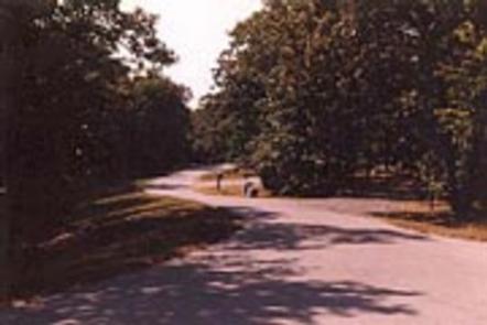
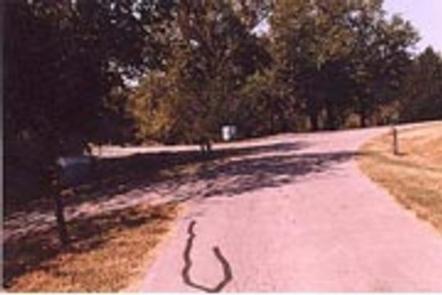
Mound Valley is located on the crystal clear Big Hill Lake in southeast Kansas.
The lake boasts three campgrounds, three equestrian trails and four day-use areas for the public to enjoy.
Camping, picnicking, horseback riding, hiking, swimming, fishing and other outdoor activities abound.
Recreation
Campers can venture onto several hiking and equestrian trails including Big Hill Lake Horse Trail, a 17-mile trail with a variety of terrain for all ages to explore. The trail winds along a scenic hardwood ridge that offers gorgeous views all along the way.
Big Hill Lake is known as a trophy lake for fishing. Principal species of sport fish include largemouth bass, crappie, channel and flathead catfish, bluegill, walleye and smallmouth bass. The lake is also popular for fishing tournaments.
Almost all of the land around the lake is open to public hunting, except for parks and areas around the dam and control structures. Principal species hunted are whitetail deer, turkey and squirrel.
Families with kids will enjoy visiting the sand-covered beach nearby for cooling off from the summer heat and enjoying a picnic.
Facilities
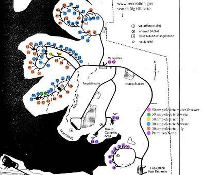
This facility has 85 campsites, including three group sites, one of which has a picnic shelter as well. Most campsites are on the waterfront; others are just a short walk away.
Other amenities include a boat ramp and boat trailer parking, restrooms, showers and a swim beach.
Natural Features
The park is nestled in the rolling, wooded countryside that is referred to as the Little Ozarks.
With thick oak-hickory forests surrounded by prairie and farmland, the lake shore supplies a variety of habitats for birds and mammals.