Directions
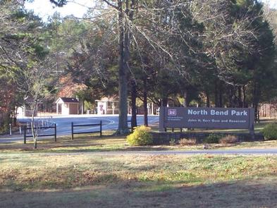
The physical address for North Bend Park: 1930 Mays Chapel Road, Boydton, VA 23917. It is located approximately 20 miles west of South Hill, VA.
Phone
434-738-0059
Activities
BIKING, CAMPING, FISHING, HIKING, HUNTING, WILDLIFE VIEWING, SWIMMING SITE, DISC GOLF
Keywords
NORB,BUGGS ISLAND,JOHN H KERR DAM
Related Link(s)
Virginia State Road Conditions
Overview
North Bend Park is located on John H. Kerr Reservoir, a 50,000-acre lake that extends 39 miles up the wooded, cove-studded shoreline of the Roanoke River in Virginia and North Carolina. North Bend is the largest park on Kerr Lake and is located at Kerr Dam and the Corps Visitor Assistance Center. Kerr Reservoir, also known as Buggs Island Lake, was created with the construction of the John H. Kerr Dam in 1952. Its 800 miles of wooded shoreline stretch across six counties and two states and offer countless recreation opportunities for visitors.
Recreation
Public lands around the lake are open to hunting with appropriate state licenses. Game species include whitetail deer, wild turkey, bobwhite quail, mourning dove, gray squirrel, cottontail rabbit, fox and raccoon. Resident waterfowl species include wood duck, black duck, mallard and Canadian geese. There are 26 Wildlife Management Areas around the lake that provide year-round opportunities for hiking, wildlife viewing, birding and more. Buggs Island, located immediately below the dam, attracts migrating bald eagles in the winter and osprey in the summer, as well as gulls, great blue herons, waterfowl and the occasional river otter. Several trails are available for hiking and biking. The 1.5-mile Liberty Nature Trail and 5.5-mile Robert Munford Trail both offer hikes within a short drive from the campground. The lake is widely known for fishing, with large-mouth bass, striped bass, crappie and flathead catfish available. Virginia Department of Game and Inland Fisheries regulate hunting and fishing on the Virginia side of Kerr Lake.
Facilities
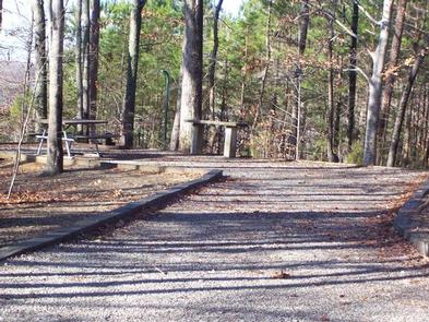
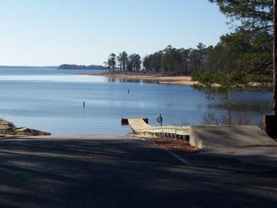
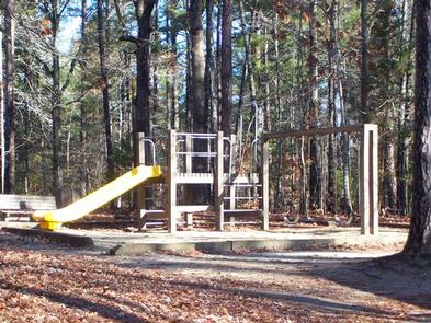
Visitors to North Bend Park will enjoy the lakeside views and wildlife watching. More than 200 sites for tents or RVs, and amenities like hot showers, flush toilets and a dump station provide a comfortable camping experience. Each camping area has its own swim beach. North Bend Park also has a large day use area with picnic shelters and a swim beach, 3 boat launching ramps, an amphitheater, and a paved 1.5 mile bicycle trail.
Natural Features
North Bend Park is forested and offers plenty of shade. Wildlife viewing is popular just below Kerr Dam, where waterfowl and Bald Eagles can be observed year around. This area, called Tailrace Park, has a wheelchair accessible canoe/kayak launch into the river, and is part of the Virginia Blueways Trail.
Nearby Attractions
About a half-mile away, at the intersection of Mays Chapel Road and State Route 4, visitors will find the Joseph S.J. Tanner II Environmental Education Center. The center has interpretive programs and exhibits for the public from Memorial Day through Labor Day, on Saturdays and Sundays. Gas, groceries, firewood and restaurants are located within 2 miles and also within 20 minutes in Boydton and South Hill, Virginia.


