
Directions
From Ponca City, Oklahoma, travel 9 miles east. across Kaw Dam. Turn east on County Road and travel 2 miles to the park.
Phone
580-762-5611
Activities
BOATING, CAMPING, FISHING, HIKING
Keywords
OSAC,KAW LAKE,KAW LAKE
Related Link(s)
Oklahoma State Road Conditions
Overview
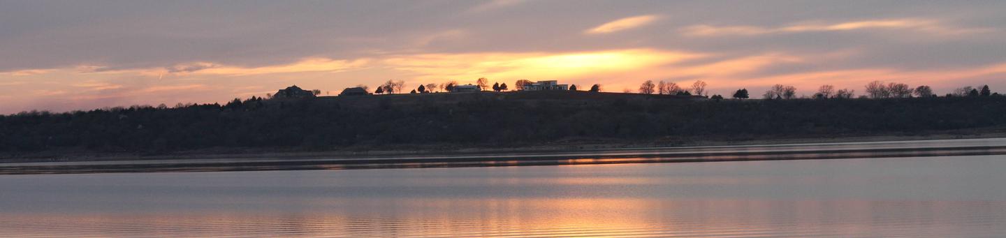
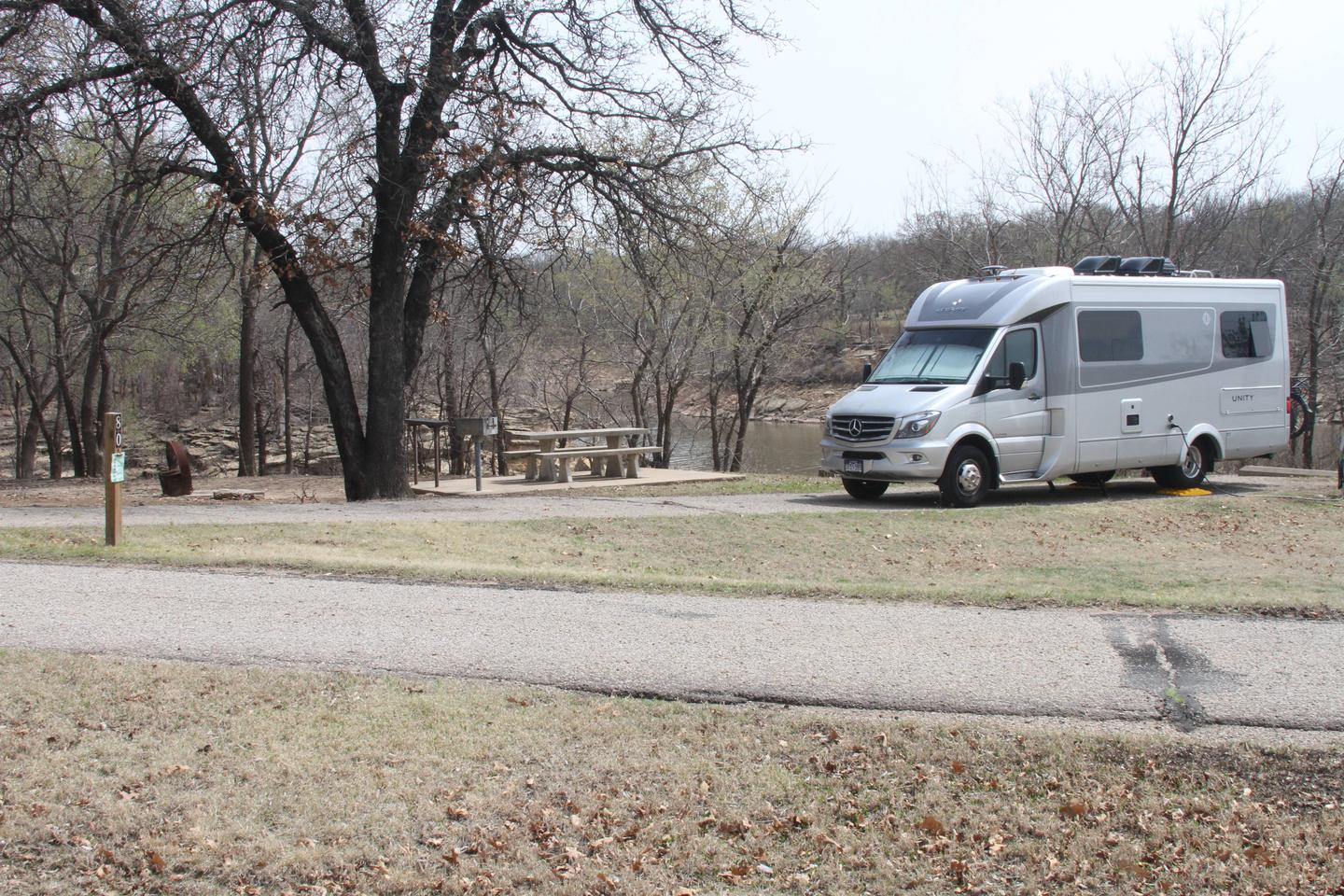
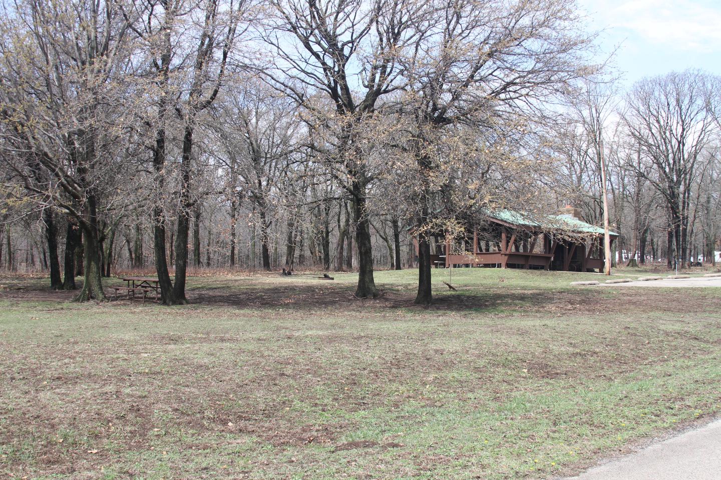
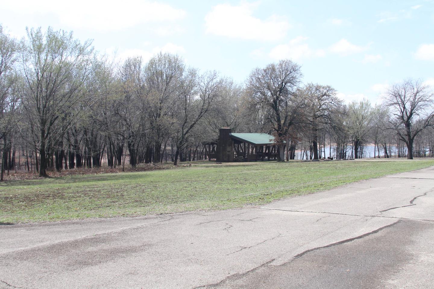
Osage Cove is a large campground situated along the banks of Kaw Lake in north central Oklahoma.
Most of the campsites here are shaded and some of the area’s best hiking and fishing is available on the grounds.
Recreation
Osage Cove provides ideal conditions for anglers, offering excellent bank fishing as well as a designated fishing dock and boat ramp area below the dam in the Arkansas River.
The lake and river are known for producing some of Oklahoma’s largest catfish, as well as crappie, white bass and walleye, making it a popular destination for anglers.
Hikers and horseback riders are attracted to the beautiful trails along the eastern shore. The Eagle View Hiking Trail is approximately 12 miles long and runs between Osage Cove and Burbank Landing. The Five Fingers Equestrian Trail extends from Burbank Landing to the Sarge Creek Cove Public Use Area.
Hunters’ skills are tested with excellent populations of whitetail deer, turkey, quail, rabbit and squirrel. During the fall waterfowl seasons Kaw Lake often attracts large numbers of migrating ducks and geese.
During the winter visitors are likely to spot migrating bald eagles, as Kaw Lake has one of the biggest populations in the state.
Facilities
Osage Cove Campground offers 97 campsites with modern amenities like electric hookups, drinking water and flush toilets, including three large group campsites that can accommodate up to 50 guests each. A boat ramp provides easy access to the lake.
Natural Features
The lake covers 17,000 surface acres and has 168 miles of shoreline. Completed in 1976, the dam and lake help provide a recreational oasis for outdoor enthusiasts of all types.
Nearby Attractions
The area holds a number of historical sites, including several Native American settlements, archeological sites and the Pioneer Woman Museum.