
Directions
From HWY 220, take the Bassett, VA exit onto State Highway 57 West. Stay on 57 West for approximately 6 miles to Philpott Dam Road. Look for brown Philpott Dam sign, turn right and go one mile to the Philpott Park entrance.
Phone
276-629-2703
Activities
BOATING, CAMPING, FISHING, HIKING, SWIMMING SITE
Keywords
PPAR,PHILPOTT LAKE
Related Link(s)
Virginia State Road Conditions
Overview
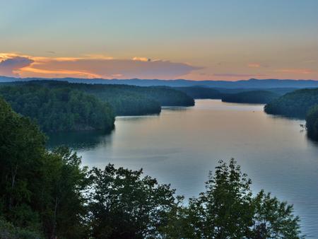
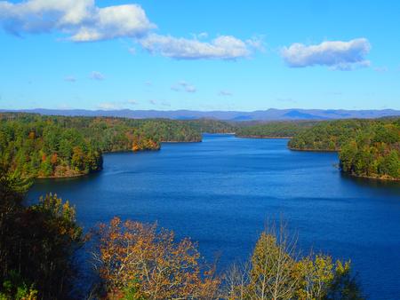
Philpott Park is nestled on the shores of Philpott Lake in the rugged foothills of Virginia’s Blue Ridge Mountains. The clear water and natural shoreline make Philpott Lake a unique place for visitors to enjoy boating, fishing, hiking, picnicking and camping.
Click here for the Philpott Lake Virtual Tour: http://www.photographyoptions.net/images/philpott/tour.html
Recreation
The lake provides visitors with great boating and swimming opportunities. Anglers enjoy fishing for large and smallmouth bass, walleye, bluegill, crappie and catfish.
Many miles of hiking and biking trails surround Philpott Lake, allowing visitors to get out and explore this scenic area.
Facilities
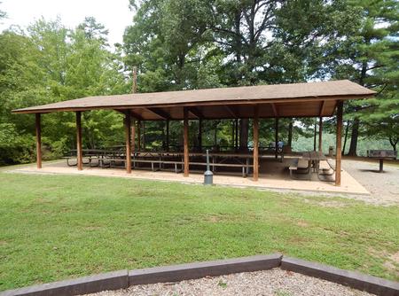
The park features an overlook where visitors have spectacular views of Philpott Lake and the Blue Ridge Mountains. It offers one group camping area and one day-use group picnic shelter.
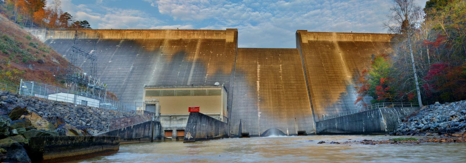
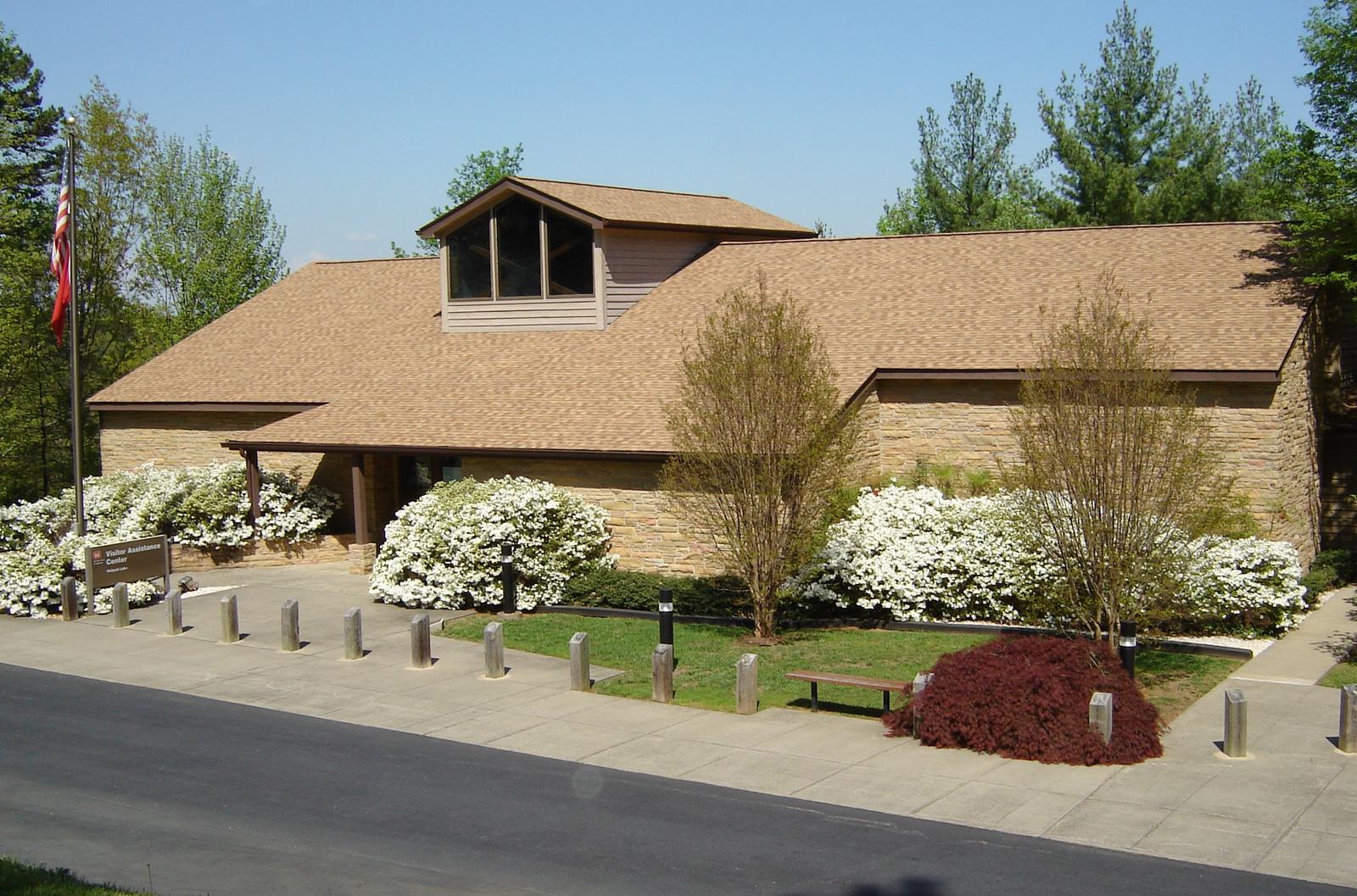
Amenities include flush toilets, showers and drinking water. A boat ramp, playground, and hiking trail are on-site. The Powerhouse, Dam and Visitor Center are located in the park.
Natural Features
Philpott Lake covers 2,900 acres and has 100 miles of shoreline. The lake’s steep, rocky banks meet beautiful mixed forests of oak, maple, hickory, pine and cedar.
Wildlife is abundant throughout the area. Deer, turkeys, squirrels, raccoons, and a variety of songbirds and waterfowl are commonly viewed.
Nearby Attractions
The lake is adjacent to Fairystone State Park and Fairystone Farms Wildlife Management Area, which includes 5,300 acres of public recreational lands.