PRESTON BEND, TX Campground Reservation, Info, Images, Map, Directions

PRESTON BEND, Texas Campground Images, Info & Reservations

Directions

From Pottsboro, TX, travel 9 miles north on Hwy 289. Exit right at the campground.

Phone

903-786-8408

Activities

CAMPING

Keywords

PRES,TEXOMA LAKE,TEXOMA LAKE

Related Link(s)

Rec Area Info & Images

Texas State Road Conditions

Texas State Tourism

Overview

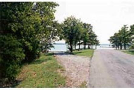
Preston Bend Campground is located on Lake Texoma, in the Cross Timbers region of Texas. The lake is said to be the “Playground of the Southwest,” where outdoor activities like fishing, boating, hiking and hunting abound.

Recreation

Lake Texoma is a large reservoir with an excellent fishery and many access points. Boating, swimming, water skiing, hunting, birding and relaxing on the sandy beaches are the typical pursuits of most visitors.

The lake is known as the “Striper Capital of the World,” one of the few reservoirs in the nation where striped bass reproduce naturally. Other popular species include largemouth and smallmouth bass, white bass, hybrid striped bass, white crappie, black crappie, channel catfish and blue catfish.

Also available is the scenic Cross Timbers hiking trail, a very popular trail that winds for 14 miles above the lake on rocky ledges and through blackjack woodland. Forty miles of equestrian trails surround the lake as well.

Facilities

This small but popular campground offers 22 campsites with electrical and water hookups, and 12 basic sites without hookups. Other amenities include flush and vault toilets, showers and drinking water. A dump station, boat ramp and dock are located on-site. Many resorts and marinas are nearby on the Preston Peninsula.

Natural Features

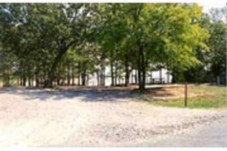
The campground is situated on the Texas side of Lake Texoma. Post and blackjack oaks forest the rolling hills of the region. Deer, turkeys, bobcats, hawks, waterfowl and songbirds are abundant around the lake.

Nearby Attractions

The lake features two wildlife refuges, two state parks and 23 commercial concession areas dedicated to the enjoyment of over six million visitors annually.

Reservation

More from CampingHiking.net:

DEER GROUP CAMP, California Campground Images, Info & Reservations

Directions Travel I-10 east (State Highway 330) to Running Springs. Turn onto State Highway 18 and continue to Big Bear Lake Dam. Continue 3 miles on State Highway 18 and turn right on Tulip Lane. Turn right onto Mill Creek Road (Forest Route 2N10) for 1.6 miles, turn left on

COBB RIDGE, Missouri Campground Images, Info & Reservations

Directions From Chadwick, Missouri, take Highway 125 south about 2 miles, then turn right onto Highway H and continue past Camp Ridge day-use area, turning right onto Lookout Road (the first portion of lookout road is paved – if you get to the gravel you have gone to far) to

ASPEN LEAF, Colorado Campground Images, Info & Reservations

Directions From Grand Junction, head south on Highway 50. Take a right on County Road 141 heading south for 14.5 miles. Make a sharp left on Divide Road. This road is not marked, but prior to turn, a sign reads "National Forest Access Divide Road, Uncompahgre Plateau." Follow this road

Axolotl Cabin, Montana Campground Images, Info & Reservations

Directions From Ennis – Most Direct Route – 4 WD/High Clearance Vehicle Strongly Recommended -Take State Highway 287 towards Virginia City – About 1/4 mile east of mile marker 11 (or 3/4 mile west of mile marker 10) turn South into the paved parking area near the top of Virginia

Dundo Group Campground, Virginia Campground Images, Info & Reservations

Directions From Washington, D.C., metro area, travel west on Interstate 66 to exit 43A. Take US Highway 29 south approximately 55 miles to Ruckersville, Virginia, then take US Highway 33 west to Shenandoah National Park and Skyline Drive Swift Run Entrance. Follow Skyline Drive south approximately 18 miles and turn

RILLWAY CABIN, Montana Campground Images, Info & Reservations

Directions The cabin is accessible year-round by vehicle. From the 4-way stop light in Townsend, turn east on Hwy 12. Follow the road for 14 miles and watch for the Rillway Cabin sign along the right side of the highway at the 14-mile marker. There is also a sign that