WEST ROLLING HILLS, KS Campground Reservation, Info, Images, Map, Directions

WEST ROLLING HILLS, Kansas Campground Images, Info & Reservations

Directions

Take I-70 to exit 290, then 5 miles to 244, then east 1/2 mile to park entrance.

Phone

785-784-4447

Activities

BOATING, CAMPING, SWIMMING SITE

Keywords

ROLH,MILFORD LAKE,MILFORD LAKE

Related Link(s)

Rec Area Info & Images

Kansas State Tourism

Kansas State Road Conditions

Overview

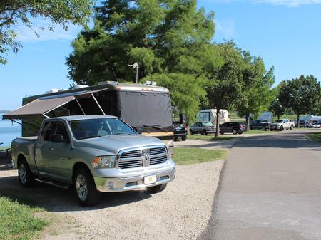
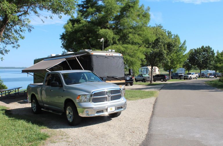
West Rolling Hills is a comfortable campground with a site layout that maximizes views of the sparkling Milford Lake.

An expanse of 33,000 acres surrounding the lake is public, protected land that’s home to an array of wildlife. It’s also an ideal setting for outdoor recreation like hiking, swimming, hunting and driving off-road vehicles.

Click here for the Milford Lake Virtual Tour.

Recreation

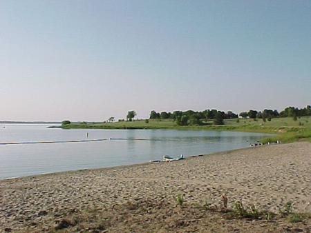
Activities include boating, swimming, fishing, hunting, hiking, wildlife viewing and biking.

Nearly 70% of the land resources are available for public hunting and the park has a fish cleaning station for anglers returning from a successful trip.

Facilities

The loop A campground has modern conveniences like showers and flush toilets. Most of these sites have electric and water hookups, as well.

The Thunderbird Marina is a easy starting point for a day on the lake, while an on-site playground provides fun for families.

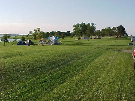
Free camping opportunities are available for visitors looking for basic camping with vault toilets.

Natural Features

Milford Lake is fed by the Republican River and stands as the largest man-made lake in Kansas, with a surface area of 15,700 acres and 163 miles of shoreline.

Nearby Attractions

The Milford Nature Center and Fish Hatchery is nearby, below the dam and a golf course is adjacent to the nature center.

Reservation

More from CampingHiking.net:

GRIZZLY RIDGE YURT, Utah Campground Images, Info & Reservations

Directions Follow the mileage indications below and watch for signs when traveling to Grizzly Ridge Yurt. Leave with plenty of time to arrive at the yurt before dark. A high-clearance vehicle with four-wheel drive is required to access the yurt. From Vernal, Utah, travel north on U.S. Highway 191 (Vernal

The Ledge Group Sites, Utah Campground Images, Info & Reservations

Directions From Moab, drive 10 miles on the Kane Creek Road. The group site is on the left hand side of the road. Phone 435-259-2100 Activities CAMPING, HIKING, PHOTOGRAPHY, MOUNTAIN BIKING, SCENIC DRIVE Keywords Related Link(s) Rec Area Info & Images Utah State Tourism Utah State Road Conditions Overview The

ROCK CREEK – SIUSLAW, Oregon Campground Images, Info & Reservations

Directions From Yachats, Oregon, take Highway 101 south about 10 miles. Look for campground sign and turn left. Phone 541-547-5219 Activities CAMPING, FISHING, HIKING, WILDLIFE VIEWING, BERRY PICKING, BIRDING Keywords ROOR,ROCK CREEK SIUSLAW,SIUSLAW NF – FS,ROCK CREEK CAMPGROUND Related Link(s) Rec Area Info & Images Oregon State Tourism Forest Service

SANTA CRUZ DEL NORTE BACKCOUNTRY, California Campground Images, Info & Reservations

Directions Boat transportation can be arranged with Island Packers from Ventura Harbor. To park headquarters in Ventura, California: Highway 101, exit Victoria or Seaward to Ventura Harbor. Phone 805-658-5730 Activities CAMPING, HIKING, WILDLIFE VIEWING, WILDERNESS, PHOTOGRAPHY, BIRDING, BACKPACKING Keywords CG09,SANTA CRUZ DEL NORTE,DEL NORTE,CHANNEL ISLANDS,SANTA CRUZ,Channel Islands National Park,Channel Island

EDGEWOOD, Arkansas Campground Images, Info & Reservations

Directions From Interstate 30, take exit 78 and merge onto State Highway 7 north for 6 miles. Turn left on Edgewood road and continue 2 miles to the campground. Phone 870-246-5501 Activities BOATING, CAMPING, FISHING, SWIMMING SITE Keywords EDGE,DEGRAY LAKE,DEGRAY LAKE Related Link(s) Rec Area Info & Images Arkansas State