
Directions
From Paris, TX, take HWY 271 north 12 miles to FM 906 W and follow it 1 mile to CR 35920. Turn left into the park following signs.
Phone
903-732-4955
Activities
BIKING, BOATING, CAMPING, FISHING, HIKING, HUNTING, SWIMMING, WATER ACTIVITIES, WATER ACCESS, ACCESSIBLE SWIMMING
Keywords
SACV,PAT MAYSE LAKE,SANDERS CREEK,SANDERS PARK,PAT MAYSE LAKE
Related Link(s)
Overview
Sanders Cove Campground is on the banks of Pat Mayse Lake in the Red River Basin in Lamar County, Texas. Easy access to developed park areas has made the lake a haven for families who enjoy camping, picnicking, swimming, boating, fishing and other outdoor recreation.
Recreation
The lake provides excellent opportunities for boating, swimming and fishing. Anglers fish for largemouth bass, white crappie, sunfish, striped bass and channel and flathead catfish, among other species.
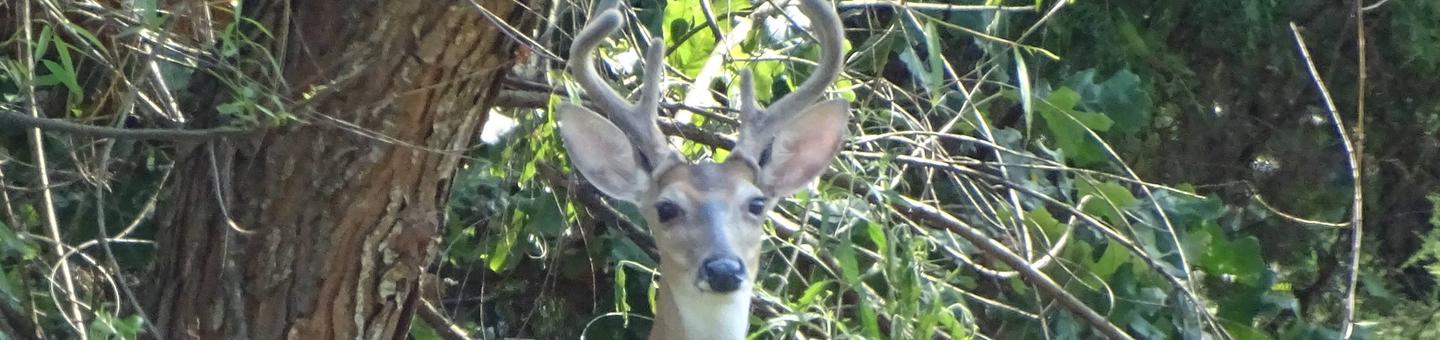
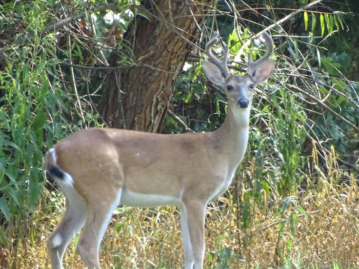
Hunting is a very popular activity in the area. The surrounding lands are managed for upland game and whitetail deer. Other species present include fox squirrel, gray squirrel, bobwhite quail, mourning dove, cottontail rabbit, raccoon and fox. Opossum, beaver, mink, skunk and nutria are also present.
The lake also provides resting and feeding habitat for migratory waterfowl. A few miles north of the project area are the famed Red River Bottoms where waterfowl congregate in impressive numbers.
Facilities
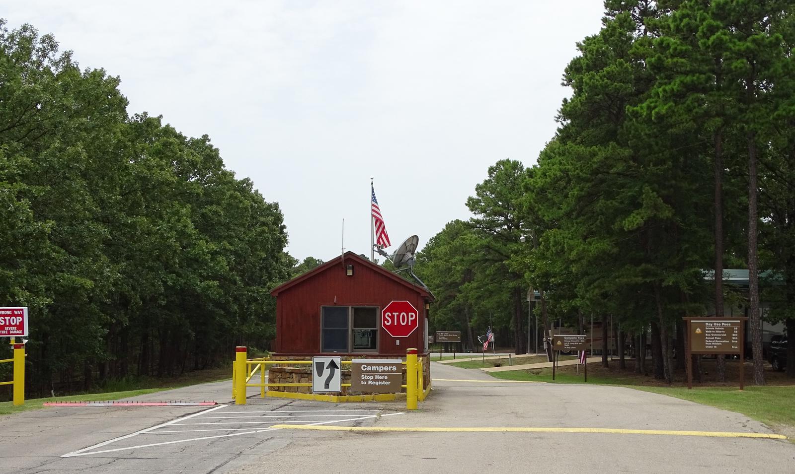
This year-round campground offers 85 sites with electric hookups. Amenities include flush and pit toilets, showers, drinking water, a dump station and boat ramp.
Natural Features
Pat Mayse Lake covers almost 6,000 acres and has 67 miles of shoreline. It is situated among gently rolling grasslands and mixed hardwood forests studded with mature pines. Wildlife is abundant in the surrounding area.