SPRINGY POINT, ID Campground Reservation, Info, Images, Map, Directions

SPRINGY POINT, Idaho Campground Images, Info & Reservations

Directions

From Sandpoint, Idaho, take US 95 south across the Long Bridge, then turn west onto Lakeshore Drive. After three miles turn right into the campground.

Phone

208-437-3133

Activities

BOATING, CAMPING, FISHING, PICNICKING, DAY USE AREA, SWIMMING

Keywords

SPRP,ALBENI FALLS DAM

Related Link(s)

Rec Area Info & Images

Idaho State Road Conditions

Idaho State Tourism

Overview

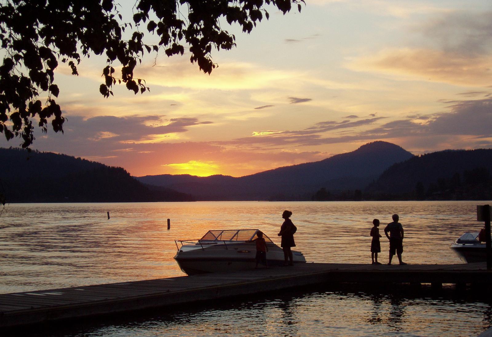
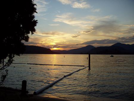
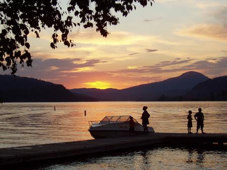
Springy Point Campground is situated amid firs, cedars and pines overlooking the Pend Oreille River with views of the Cabinet and Selkirk Mountains. The city of Sandpoint is just a short trip across the water and offers a marina, parks, shopping and plenty of sightseeing opportunities.

Recreation

Water sports are the most popular activity at Springy Point, and with a boat ramp located on-site, kayaking, canoeing, water skiing, jet skiing and fishing are never far out of reach. A large swimming area provides visitors with comfortable access to the river’s clear, clean waters. Visitors may also enjoy biking or hiking across the Long Bridge into the town of Sandpoint for a change of scenery or stroll around town. For the bird watchers or moose watchers, a short trip up to the Pack River Area to watch wildlife provides a great day trip.

Facilities

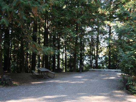
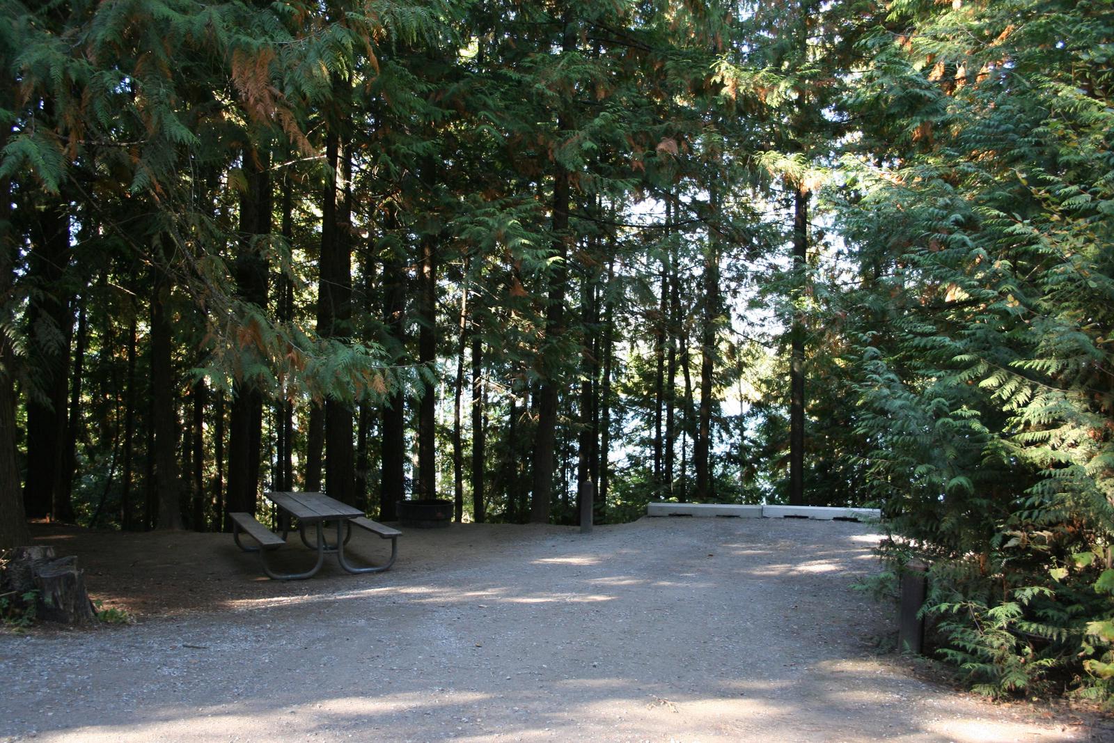
Springy Point Campground offers 39 shady campsites near the water. 37 are standard non-electric, with two walk-to sites. Amenities include drinking water, flush toilets and showers. A small picnic shelter (24 person max.) located off of the beach may be reserved by calling 208-437-3133.

Natural Features

Lake Pend Oreille is a glacier-carved lake surrounded by scenic mountains in the northern Idaho Panhandle. It is one of the largest and deepest natural lakes in the western United States with depths plunging more than 1,200 ft., in some areas.

The area around the Lake is the traditional home of the Kalispell Indians. French settlers named the area “Pend Oreille,” which means “ear pendant,” after observing the large shell earrings worn by the Kalispell people.

Nearby Attractions

The Albeni Falls Visitor Center features exhibits on the history of the dam and the natural features of the area, with tours of the dam given daily during the summer.

Reservation

More from CampingHiking.net:

INDIAN FORD CAMPGROUND, Oregon Campground Images, Info & Reservations

Directions From Sisters, OR: Travel 5.6 miles northwest on Highway 20. Phone 541-323-1746 Activities CAMPING Keywords Related Link(s) Rec Area Info & Images Oregon State Road Conditions Oregon State Tourism Overview Indian Ford Campground is named for its location on Indian Ford Creek and is conveniently located between the town

BOCA CAMPGROUND, California Campground Images, Info & Reservations

Directions 2019 Season Access Due to Boca Dam Closure – From Truckee, start up Highway 89 north and turn right onto Prosser Dam Road at the last roundabout. Go through neighborhood, keep right at Y and go over Prosser Dam. At next 4-way intersection, turn right onto Rd 73. At

Stoughton Pond Rec Area, Vermont Campground Images, Info & Reservations

Directions Take VT 106 North to Stoughton Pond Road. The facility is about ½ mile to the left in Perkinsville, Vermont. Phone 802-886-2775 Activities BOATING, HIKING, HUNTING, WINTER SPORTS, WILDLIFE VIEWING, SWIMMING SITE Keywords Stoughton Pond Rec Area,North Springfield Lake Related Link(s) Rec Area Info & Images Vermont State Road

WASHINGTON LAKE, Utah Campground Images, Info & Reservations

Directions From Salt Lake City, Utah, take I-80 east for approximately 30 miles to Exit 146 for Highway 40 toward Park City/Heber City/Vernal. Take Exit 4 onto Highway 248 toward Kamas. Take left onto UT 32 then right onto Highway 150 (Mirror Lake Scenic Byway). Go north approximately a half-mile

MIDDLE MEADOWS, California Campground Images, Info & Reservations

Directions From Sacramento, California, take Interstate 80 east to Auburn. Take the Elm Street exit and turn left at the stoplight. Follow Highway 49 down the canyon, across the American River, to Cool. Turn onto Highway 193 towards Georgetown. Turn left at the stop sign, then continue 22 miles to