
Directions
From I-95, take Exit 101 (Stuart/Indiantown), following SR 76 W for 0.5 miles to Locks Road. Turn right onto Locks Road for 1.3 miles to SW Canal Street and turn left into the campground.
Phone
772-287-1382
Activities
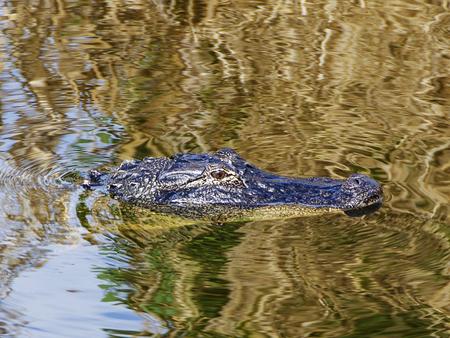
BOATING, CAMPING, FISHING, HIKING, VISITOR CENTER, DAY USE AREA, CANOEING, BIRDING
Keywords
STLU,ST. LUCIE LOCK,LAKE OKEECHOBEE
Related Link(s)
Overview
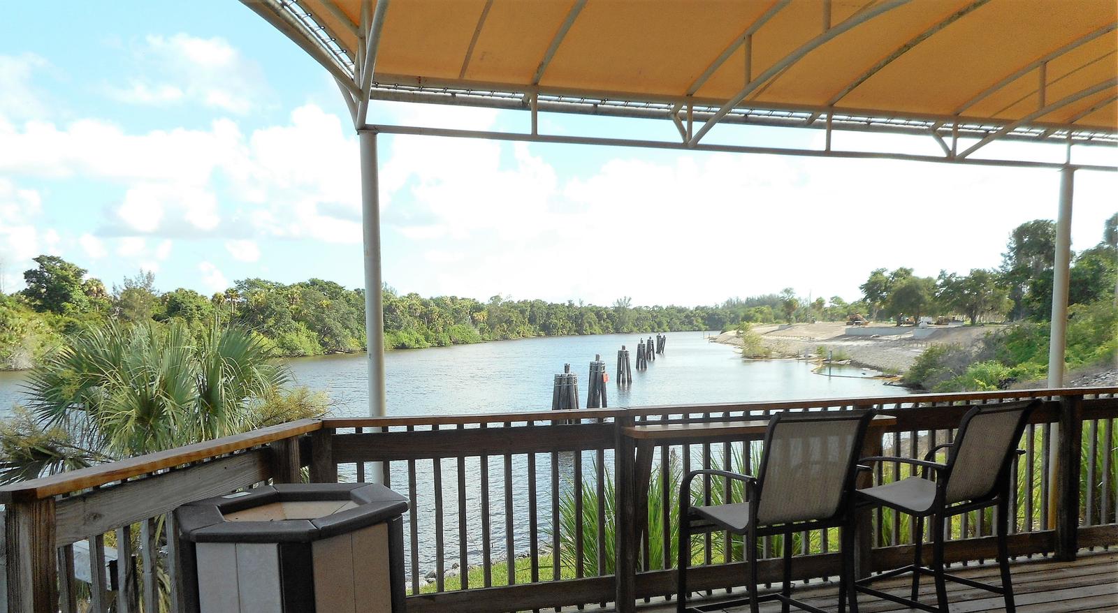
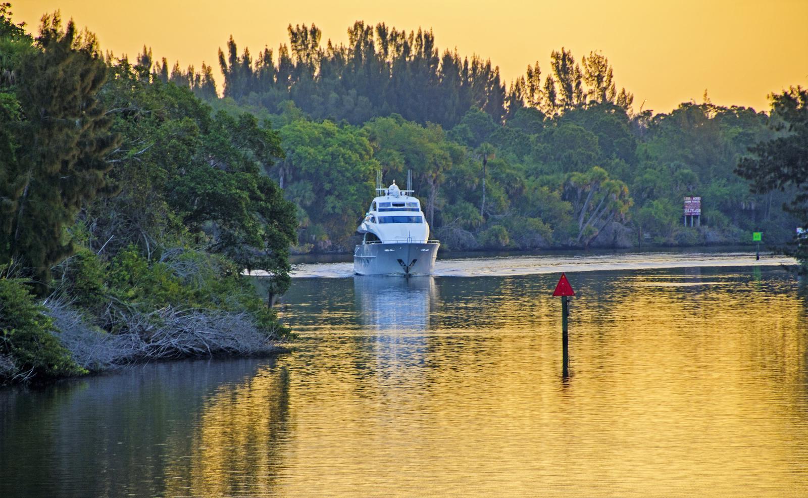
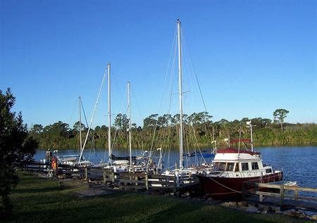
St. Lucie Campground provides a relaxing camping experience on the St. Lucie Canal, part of the 152 mile Okeechobee Waterway that spans South Florida from the Atlantic Ocean to the Gulf of Mexico. Campers can enjoy watching boats and the occasional manatee pass through the St Lucie Lock while sitting under the warm Florida sun.
Recreation
Hike the St. Lucie Nature Trail on the north side of the canal, or spend the day fishing and boating on the St Lucie Canal and the south fork of the St. Lucie River.
Facilities
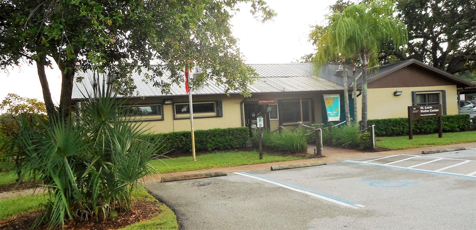
The St. Lucie South Campground offers waterfront RV and tent sites, plus cruiser sites for boat campers. All RV and cruiser sites have 50 amp electric and water hookups. A trailer dump station is on site for your convenience A family-friendly visitor center, group picnic shelter, horseshoe pit and playground are onsite to entertain the group.
Natural Features
Tropical vegetation surrounds the campground, which is about 25 miles east of Lake Okeechobee, the second largest freshwater lake in the United States. The lake is 451,000 acres and on average only 9 feet deep.
Nearby Attractions
The Hobe Sound National Wildlife Refuge is recommended for visitors who are interested in the many species of birds in the area. The city of Stuart is just down the road with restaurants and shopping. Sandy beaches located on nearby Hutchison Island make for a fun days trip to the Atlantic Ocean. Nearby Fort Pierce is home to the National Navy UDT-SEAL Museum.