SUPPLY PARK, OK Campground Reservation, Info, Images, Map, Directions

SUPPLY PARK, Oklahoma Campground Images, Info & Reservations

Directions

From Woodward, Oklahoma, travel 9 miles northwest on Highway 3/270 to Fort Supply Lake sign. Turn west and follow for 3 miles, crossing Fort Supply Dam. Continue 3/4 mile to the four-way stop; turn left and follow access road into the campground.

Phone

580-766-2001

Activities

BOATING, CAMPING, HUNTING, SWIMMING SITE

Keywords

SUPP,COTTONWOOD PARK,FORT SUPPLY LAKE

Related Link(s)

Rec Area Info & Images

Oklahoma State Road Conditions

Oklahoma State Tourism

Overview

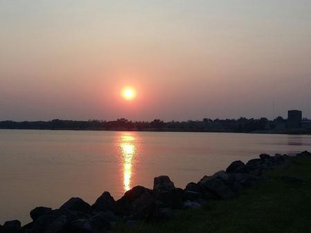
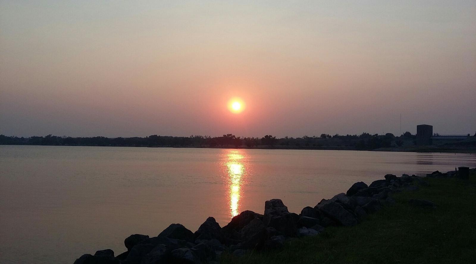
Supply Park sits along the pristine shores of Fort Supply Lake, where fishing, swimming and boating are popular pastimes.

Recreation

Fishing opportunities abound with catches like crappie, walleye, white bass, hybrid bass, channel catfish and flathead catfish. Hunters enjoy the 6,000 acres of land populated by bobwhite quail, deer, pheasants and rabbits.

The campground provides a sandy beach, boat ramp and fishing pier for visitors to enjoy the lake.

Facilities

Supply Park offers 110 campsites, most with electric hookups, that range from $17-$24 per night, one large group camping shelter with eight associated campsites for $176 per night, and one reservable group day use pavilion for $36 per day. Other amenities include a boat launch, dump stations, accessible fishing piers, hot showers, group camping and picnic areas and two playgrounds.

Natural Features

Supply Park is set along the western shores of the lake in northwest Oklahoma. Sand dunes line the east side of the lake, and the vast, 1,800-acre lake has an average depth of eight feet.

Nearby Attractions

Stop by the Fort Supply Historic Site, the Pioneer Museum and Art Center in Woodward, and Boiling Springs State Park.

Reservation

More from CampingHiking.net:

BLANCO RIVER GROUP CAMPGROUND, Colorado Campground Images, Info & Reservations

Directions From Pagosa Springs, Colorado, travel 13 miles south on Highway 84, then turn east on Forest Road 656 for approximately two miles. Phone 970-264-2268 Activities CAMPING, FISHING, HIKING Keywords Blanco,Blanco River,Blanc,Blanko Related Link(s) Rec Area Info & Images Forest Service Concessionaire Colorado State Road Conditions Colorado State Tourism Overview

ELK CREEK CAMPGROUND (SAWTOOTH NF), Idaho Campground Images, Info & Reservations

Directions From Stanley, Idaho, take State Highway 21 west approximately 8 miles. Turn north at milepost 123 onto Forest Road 892 and follow the road to the campground. Phone 928-537-8888 Activities BIKING, CAMPING, FISHING, HIKING, WILDLIFE VIEWING Keywords ELK2,ELK CREEK CAMPGROUND IDAHO,SAWTOOTH NF – FS Related Link(s) Rec Area Info

HALF MOON RANCH, Arizona Campground Images, Info & Reservations

Directions From Tucson: Take I-10 east to Exit #318 (Dragoon Road). Turn right onto Dragoon Road and travel for approximately 10 miles through the village of Dragoon to the Cochise Stronghold Road. Turn right on Cochise Stronghold Road and travel for approximately 6 miles to Ironwood Road. The paved road

NOISY CREEK, Washington Campground Images, Info & Reservations

Directions Campground is located ninety miles north of Spokane, Washington. From the junction of State Highway 20, take Highway 31 north for three miles to the junction of the Sullivan Lake Road (County Road 9345Follow the Sullivan Lake Road for 8 miles to the campground entrance. The campground is located

PLASKETT CREEK CAMPGROUND, California Campground Images, Info & Reservations

Directions From San Luis Obispo, travel north on Highway 1 for approximately 65 miles to the campground. From Monterey, travel south on Highway 1 for approximately 50 miles to the campground. Phone 805-434-1996 Activities BIKING, CAMPING, FISHING, HIKING, HUNTING, WILDLIFE VIEWING Keywords Plaskett,Plaskett Creek,LOS PADRES NF -FS Related Link(s) Rec