TURKEY CREEK, OK Campground Reservation, Info, Images, Map, Directions

TURKEY CREEK, Oklahoma Campground Images, Info & Reservations

Directions

From Broken Bow, OK, travel Highway 3 west for 28 miles to the entrance sign. Follow access road north 5 miles to the campground.

Phone

580-876-3720

Activities

BOATING, CAMPING, FISHING

Keywords

TURK,PINE CREEK LAKE,PINE CREEK LAKE

Related Link(s)

Rec Area Info & Images

Oklahoma State Road Conditions

Oklahoma State Tourism

Overview

Turkey Creek Park is a small campground on the western shores of Pine Creek Lake where the Little River flows into the lake. Campers come for peace and quiet, wildlife viewing, boating and fishing.

Recreation

Visitors enjoy fishing, boating and picnicking. Common fish include crappie, white bass, largemouth bass, channel catfish, flathead catfish and various types of sunfish.

Facilities

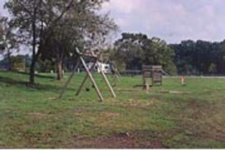
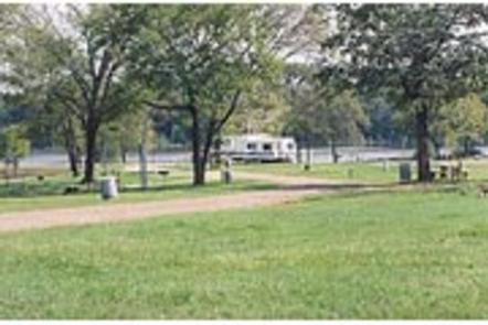
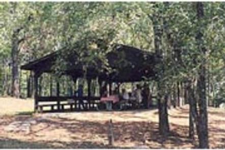
Turkey Creek offers 30 reservable campsites, eight of which have electric hookups. The picnic shelter is for day-use only. Amenities include a playground, boat ramp and flush toilets.

Natural Features

Pine Creek Lake lies in the southeast corner of Oklahoma at the edge of the Ouachita Mountains. The lake spans 3,750 acres with 74 miles of shoreline. The lake is surrounded by hardwood/pine forests.

Nearby Attractions

Beavers Bend and Raymond Gary State Parks are within driving distance. Also, the historic ruins of Fort Towson, a confederate command post that was built in 1824, are interesting as well.

Reservation

More from CampingHiking.net:

DRY WOLF CABIN, Montana Campground Images, Info & Reservations

Directions From Stanford, Montana, go a mile northwest on US 87, then turn left on County Road 251 (Dry Wolf Road). Continue for 15 miles and look for a sign to Dry Wolf Station. Turn left onto short parking spur of the cabin site. Phone 406-236-5511 OR 406-566-2292 Activities BIKING,

DONLEY CABIN, Tennessee Campground Images, Info & Reservations

Directions From Tellico Plains, Tenn., travel east on Highway 165 (Cherohala Skyway) for 5 miles. Turn right onto Forest Road 210 and continue 9 miles to the intersection of Forest Road 217 (North River Road). There will be a sign for the Donley Cabin and North River Campground. Turn left

UINTA RIVER GROUP, Utah Campground Images, Info & Reservations

Directions From Roosevelt, Utah, take State Highway 121 north to Neola, then travel on Uinta and Ouray Indian Reservation Road to Forest Road 118. Phone 435-722-5018 Activities BIKING, CAMPING, HIKING, WILDLIFE VIEWING Keywords UNIR,ASHLEY NF – FS Related Link(s) Rec Area Info & Images Utah State Road Conditions Utah State

GERLE CREEK, California Campground Images, Info & Reservations

Directions From Placerville, drive 21 miles east on Highway 50 to the Icehouse Road turnoff. Turn left and go 28 miles north. Take the left fork 3 miles to the campground. Phone 831-245-6891 Activities CAMPING, FISHING, HIKING, SWIMMING SITE Keywords GERL,ELDORADO NF – FS Related Link(s) Rec Area Info &

MT. TIMPANOGOS, Utah Campground Images, Info & Reservations

Directions From I-15, take exit 272 for 800 north toward Orem and proceed east on Highway 52 to the mouth of Provo Canyon. Go east on Highway 189 for 7 miles to the Sundance Resort turnoff. Take Highway 92 for 6 miles. Campground will be on your right, past Sundance

SPRINGFIELD, Georgia Campground Images, Info & Reservations

Directions From Interstate 85 in South Carolina, take exit 11 onto Highway 187 south. Turn on Providence Church Road and follow signs to the park. 1915 PROVIDENCE CHURCH ROAD Anderson, SC 29625 Phone 888-893-0678 Activities BOATING, CAMPING, FISHING, SWIMMING SITE Keywords SPRF,HARTWELL LAKE PROJECT Related Link(s) Rec Area Info &