
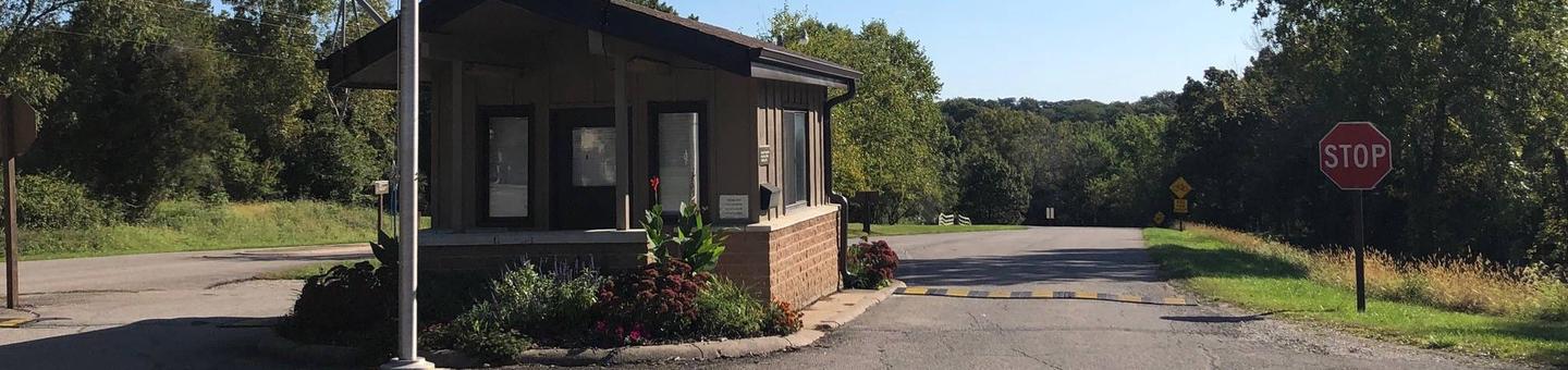
Directions
890 190th Ave Pella, Iowa 50219 Take County Highway G-28 4 miles west of Pella, then go 0.8 miles south on 190th Avenue.
Phone
641-828-7522
Activities
BIKING, BOATING, CAMPING, FISHING, HIKING, VISITOR CENTER
Keywords
WALA,LAKE RED ROCK
Related Link(s)
Overview
Wallashuck Campground is located on Lake Red Rock, Iowas largest lake. It is just 10 minutes from Pella, known for its Dutch heritage, and 15 minutes from Knoxville, the Sprint car capital of the world. Visitors enjoy boating, fishing, hiking, biking and viewing wildlife.
For more information regarding the Army Corps of Engineers and the Lake Red Rock Project, click here:
Lake Red Rock Website
For a virtual tour of Lake Red Rock, click here:
Lake Red Rock – Virtual Tour
Recreation
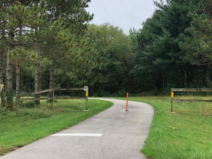
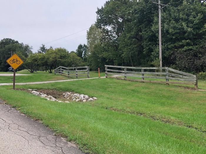
Lake Red Rock offers excellent boating, water skiing and swimming opportunities. Miles of water trails for kayakers and canoeists are designated along the shoreline. Anglers will find crappie, largemouth and striped bass,walleye, channel and flathead catfish, northern pike and bluegill. Several miles of trails for hiking and biking are in the area. The 15 mile paved Volksweg Trail stretches west from Pella to the Des Moines River and to the Cordova Recreation Area.
Facilities
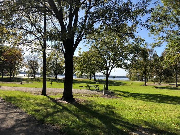
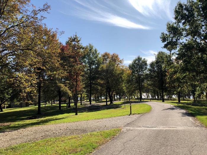
Wallashuck offers 83 campsites with electric hookups. Amenities include flush and pit toilets, showers, drinking water and a dump station. A playground is also provided.
Natural Features
Lake Red Rock is situated on the Des Moines River. Hardwood forests cover the lake shore at Wallashuck, offering shade and scenic views. Wildlife is abundant around the lake. A wide variety of waterfowl, including the American White Pelican, migrates through the area in spring and fall. Bald eagles can be observed from November through March. White-tailed deer , turkeys and other small animals are commonly viewed around the lake.
Nearby Attractions
Des Moines, Iowa’s capital, is an hour away, with numerous shopping and dining opportunities, museums and the Blank Park Zoo.
Charges & Cancellations
A $10.00 service fee will apply if you change or cancel your reservation. The $10.00 service fee will be deducted from the refund amound. Cancel or change reservations through recreation.gov or by calling 1-877-444-6777. Late cancellations are subject to additional fees.