WATER VALLEY LANDING, MS Campground Reservation, Info, Images, Map, Directions

WATER VALLEY LANDING, Mississippi Campground Images, Info & Reservations

Directions

From I-55, take exit 227 onto State Route 32 east and continue for 17 miles. Turn onto County Road 53 and continue for 2 miles, following signs into the campground.

Phone

662-563-4571

Activities

BOATING, CAMPING, FISHING, HIKING, VISITOR CENTER, SWIMMING SITE

Keywords

WATV,ENID LAKE – MS,ENID LAKE

Related Link(s)

Rec Area Info & Images

Mississippi State Road Conditions

Mississippi State Tourism

Overview

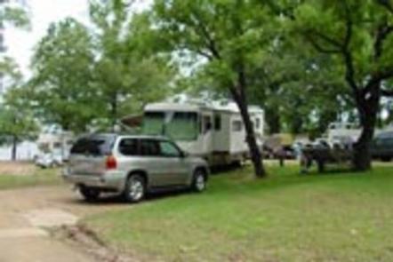
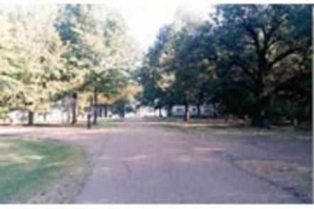
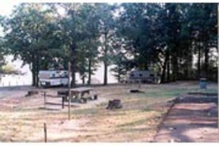
Water Valley Landing is a quiet, family-oriented campground along the banks of Enid Lake in the forests of northeast Mississippi.

View a virtual tour of Enid Lake.

Recreation

Enid Lake has been recognized as one of America’s Top 10 Fishing Spots, with white crappie, bass and catfish available in abundance. The lake is the home of the world record white crappie, which weighed an impressive 5 pounds, 3 ounces. Fishing tournaments are held annually at the lake.

Hiking trails wind along the lakeshore and throughout the surrounding landscape, offering hiking, biking and horseback riding opportunities.

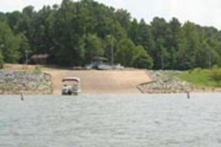
Boating is a popular pastime on the lake, and boat ramps are provided at the campground.

Facilities

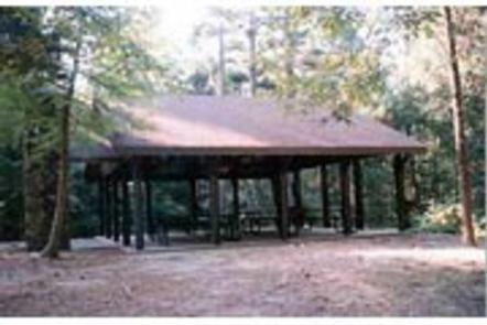
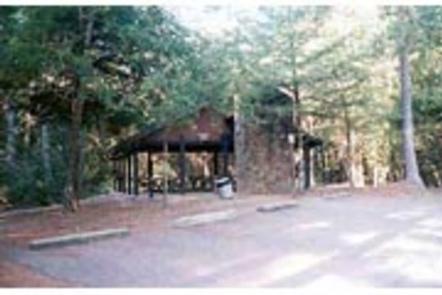
Water Valley Landing Campground offers 29 campsites, and modern amenities like full hookups and flush toilets are provided. A playground trail and interpretive trail offer additional recreation opportunities. Picnic areas complete with grills and tables make the area perfect for parties or family trips.

Natural Features

Enid Lake is part of a dam project on the Yocona River. The dam creates almost 16,000 acres of water for the millions of annual visitors to enjoy. An additional 44,000 acres of thick, green forests surrounding the lake offer countless recreational opportunities for campers, equestrians, hikers and more.

Nearby Attractions

Memphis, Tennessee, located about an hour away, offers plenty of famous tourist attractions.

Reservation

More from CampingHiking.net:

TAYLOR, Texas Campground Images, Info & Reservations

Directions From Interstate Highway 35 take Hwy 79 east to Hwy 95. Go north on Hwy 95 to FM 1331; go east on FM 1331 for approximately 5 miles to the entrance on the left. Phone 512-859-2668 Activities BIKING, CAMPING, FISHING, HIKING, WATER SPORTS, WILDLIFE VIEWING, SWIMMING SITE Keywords TAYL,GRANGER

MANZANITA LAKE, California Campground Images, Info & Reservations

Directions From Redding, California drive 48 miles east on State Highway 44. Turn right into Lassen Volcanic National Park and continue one mile south to Manzanita Lake Campground. Phone 530 595-6121 Activities BOATING, HISTORIC & CULTURAL SITE, CAMPING, INTERPRETIVE PROGRAMS, FISHING, HIKING, PICNICKING, VISITOR CENTER, DAY USE AREA, SWIMMING SITE

TYLER BEND CAMPGROUND, Arkansas Campground Images, Info & Reservations

Directions From Springfield, Missouri take U.S. Highway 65 south for 109 miles; then turn right at Ranger Road (follow signs) and drive another 2 miles to visitor center and campground. From Little Rock, Arkansas take Interstate 40 West for 34 miles, then exit “U.S. 65/Skyline Drive.” From here continue on

HARDING RIVER CABIN, Alaska Campground Images, Info & Reservations

Directions Located southeast of Wrangell on the mainland at the mouth of the Harding River, which is on the north side of the Bradfield Canal. Distance is 31 miles by air, 40 miles by boat from Wrangell. The beach near the cabin slopes gradually and does not provide for easy

STRAWBERRY CABIN, Montana Campground Images, Info & Reservations

Directions Located about 15 miles south of Helena. From Interstate 15, take exit 187 for Montana City/MT-518. East on Jackson Creek road for 0.5 miles. Turn right/south onto Johns St (Papa Rays Pizza) and continue onto McClellan Creek road for four miles. Turn right/south onto Warm Springs Creek/Strawberry Lookout Rd